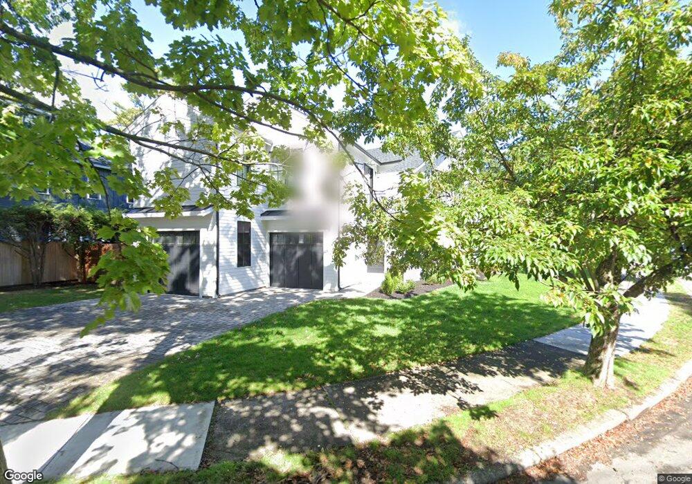
49 Sherrin Rd Newton Lower Falls, MA 02462
Newton Lower Falls NeighborhoodEstimated Value: $1,217,000 - $1,702,212
3
Beds
3
Baths
2,632
Sq Ft
$562/Sq Ft
Est. Value
About This Home
This home is located at 49 Sherrin Rd, Newton Lower Falls, MA 02462 and is currently estimated at $1,479,553, approximately $562 per square foot. 49 Sherrin Rd is a home located in Middlesex County with nearby schools including Williams Elementary School, Angier Elementary School, and Charles E Brown Middle School.
Ownership History
Date
Name
Owned For
Owner Type
Purchase Details
Closed on
Jul 15, 2019
Sold by
Kenyan Paul C
Bought by
Kenyan Paul C and Kenyan Marietta
Current Estimated Value
Home Financials for this Owner
Home Financials are based on the most recent Mortgage that was taken out on this home.
Original Mortgage
$700,000
Outstanding Balance
$612,963
Interest Rate
3.9%
Mortgage Type
New Conventional
Estimated Equity
$866,590
Purchase Details
Closed on
Jun 4, 2019
Sold by
Kenyan Rt and Kenyan
Bought by
Kenyan Paul C
Home Financials for this Owner
Home Financials are based on the most recent Mortgage that was taken out on this home.
Original Mortgage
$700,000
Outstanding Balance
$612,963
Interest Rate
3.9%
Mortgage Type
New Conventional
Estimated Equity
$866,590
Create a Home Valuation Report for This Property
The Home Valuation Report is an in-depth analysis detailing your home's value as well as a comparison with similar homes in the area
Home Values in the Area
Average Home Value in this Area
Purchase History
| Date | Buyer | Sale Price | Title Company |
|---|---|---|---|
| Kenyan Paul C | $700,000 | -- | |
| Kenyan Paul C | $700,000 | -- | |
| Kenyan Paul C | -- | -- | |
| Kenyan Paul C | -- | -- |
Source: Public Records
Mortgage History
| Date | Status | Borrower | Loan Amount |
|---|---|---|---|
| Open | Kenyan Paul C | $700,000 | |
| Closed | Kenyan Paul C | $700,000 |
Source: Public Records
Tax History Compared to Growth
Tax History
| Year | Tax Paid | Tax Assessment Tax Assessment Total Assessment is a certain percentage of the fair market value that is determined by local assessors to be the total taxable value of land and additions on the property. | Land | Improvement |
|---|---|---|---|---|
| 2025 | $15,511 | $1,582,800 | $787,000 | $795,800 |
| 2024 | $14,998 | $1,536,700 | $764,100 | $772,600 |
| 2023 | $14,281 | $1,402,800 | $585,100 | $817,700 |
| 2022 | $13,664 | $1,298,900 | $541,800 | $757,100 |
| 2021 | $9,605 | $892,700 | $511,100 | $381,600 |
| 2020 | $6,627 | $634,800 | $511,100 | $123,700 |
| 2019 | $6,440 | $616,300 | $496,200 | $120,100 |
| 2018 | $6,071 | $561,100 | $447,000 | $114,100 |
| 2017 | $5,886 | $529,300 | $421,700 | $107,600 |
| 2016 | $5,630 | $494,700 | $394,100 | $100,600 |
| 2015 | $5,367 | $462,300 | $368,300 | $94,000 |
Source: Public Records
Map
Nearby Homes
- 17 Deforest Rd
- 45 Moulton St
- 25 Columbia St
- 2084 Washington St
- 27 Oakwood Rd
- 45 E Quinobequin Rd
- 7 Crescent St
- 41 Orchard Ave
- 34 Palmer Rd
- 17 Lasell St
- 135 Orchard Ave
- 8 Old Town Rd
- 10 Lorraine Cir
- 177 Varick Rd
- 2 Longfellow Rd
- 2202 Commonwealth Ave Unit 2
- 2202 Commonwealth Ave Unit 1
- 12 Bird Hill Ave
- 283 Woodland Rd
- 33 Metacomet Rd
- 25 Clearwater Rd
- 41 Sherrin Rd
- 31 Clearwater Rd
- 56 Sherrin Rd
- 40 Sherrin Rd
- 39 Clearwater Rd
- 33 Sherrin Rd
- 7 Goff St
- 11 Clearwater Rd
- 28 Clearwater Rd
- 22 Clearwater Rd
- 34 Clearwater Rd
- 34 Sherrin Rd
- 12 Clearwater Rd
- 45 Clearwater Rd
- 12 Goff St
- 40 Clearwater Rd
- 25 Sherrin Rd
- 67 Pine Grove Ave
- 55 Pine Grove Ave