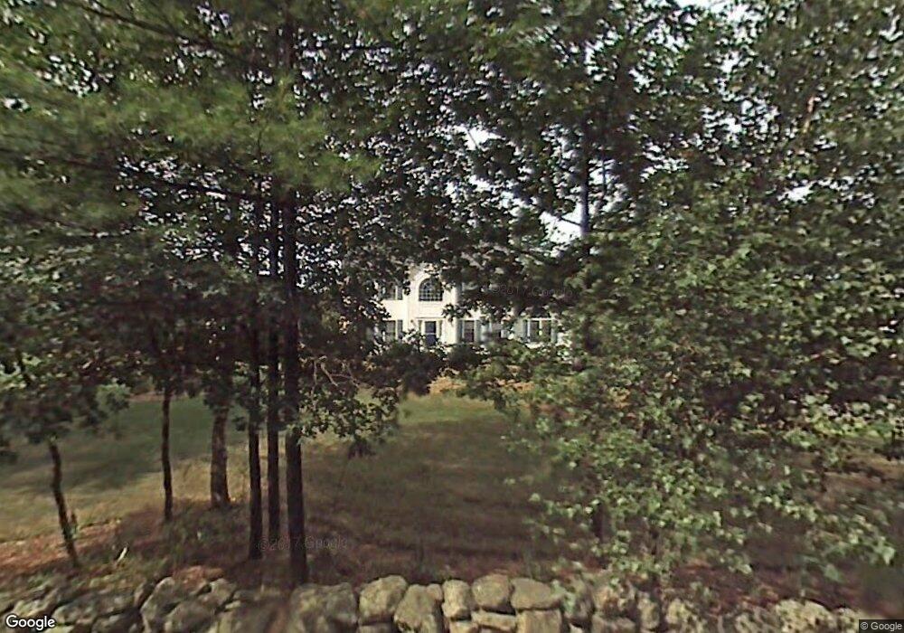
49 Simpson Rd Pelham, NH 03076
Estimated Value: $691,629 - $794,000
3
Beds
3
Baths
2,148
Sq Ft
$349/Sq Ft
Est. Value
About This Home
This home is located at 49 Simpson Rd, Pelham, NH 03076 and is currently estimated at $748,907, approximately $348 per square foot. 49 Simpson Rd is a home located in Hillsborough County with nearby schools including Pelham Elementary School, Pelham Memorial School, and Pelham High School.
Ownership History
Date
Name
Owned For
Owner Type
Purchase Details
Closed on
Dec 28, 2012
Sold by
Compagnone Christopher R and Compagnone Melissa M
Bought by
Compagnone Christopher R
Current Estimated Value
Home Financials for this Owner
Home Financials are based on the most recent Mortgage that was taken out on this home.
Original Mortgage
$259,200
Outstanding Balance
$180,307
Interest Rate
3.38%
Mortgage Type
Purchase Money Mortgage
Estimated Equity
$568,600
Purchase Details
Closed on
Aug 16, 2007
Sold by
Loranger Richard
Bought by
Compagnone Christopher
Home Financials for this Owner
Home Financials are based on the most recent Mortgage that was taken out on this home.
Original Mortgage
$359,100
Interest Rate
6.67%
Mortgage Type
Purchase Money Mortgage
Create a Home Valuation Report for This Property
The Home Valuation Report is an in-depth analysis detailing your home's value as well as a comparison with similar homes in the area
Home Values in the Area
Average Home Value in this Area
Purchase History
| Date | Buyer | Sale Price | Title Company |
|---|---|---|---|
| Compagnone Christopher R | -- | -- | |
| Compagnone Christopher | $378,000 | -- |
Source: Public Records
Mortgage History
| Date | Status | Borrower | Loan Amount |
|---|---|---|---|
| Open | Compagnone Christopher R | $259,200 | |
| Previous Owner | Compagnone Christopher | $364,010 | |
| Previous Owner | Compagnone Christopher | $307,988 | |
| Previous Owner | Compagnone Christopher | $57,650 | |
| Previous Owner | Compagnone Christopher | $359,100 |
Source: Public Records
Tax History Compared to Growth
Tax History
| Year | Tax Paid | Tax Assessment Tax Assessment Total Assessment is a certain percentage of the fair market value that is determined by local assessors to be the total taxable value of land and additions on the property. | Land | Improvement |
|---|---|---|---|---|
| 2024 | $9,790 | $533,800 | $150,500 | $383,300 |
| 2023 | $9,710 | $533,800 | $150,500 | $383,300 |
| 2022 | $9,299 | $533,800 | $150,500 | $383,300 |
| 2021 | $8,519 | $533,800 | $150,500 | $383,300 |
| 2020 | $8,217 | $406,800 | $120,300 | $286,500 |
| 2019 | $7,892 | $406,800 | $120,300 | $286,500 |
| 2018 | $7,917 | $368,900 | $120,300 | $248,600 |
| 2017 | $7,913 | $368,900 | $120,300 | $248,600 |
| 2016 | $7,728 | $368,900 | $120,300 | $248,600 |
| 2015 | $7,597 | $326,600 | $114,200 | $212,400 |
| 2014 | $7,488 | $327,400 | $114,200 | $213,200 |
| 2013 | $7,488 | $327,400 | $114,200 | $213,200 |
Source: Public Records
Map
Nearby Homes
- 96 Simpson Rd
- 1 Redwood Rd
- 1119 Mammoth Rd
- 11 Venus Way
- 7 Venus Way Unit 22
- 4 Haystack Cir
- 29 Rock Pond Rd
- 45 Hobbs Rd
- 23 Ryan Farm Rd
- 2 Cypress Ln
- 7 Cypress Ln Unit 5
- 24 Del Ray Dr Unit 25
- 24 Del Ray Dr
- 63 Marsh Rd
- 508 Mammoth Rd
- 10 Oakland Ridge Rd Unit 11
- 45 Sharon Rd
- 5 Stephanie Dr
- 138 Castle Hill Rd
- 446 Mammoth Rd