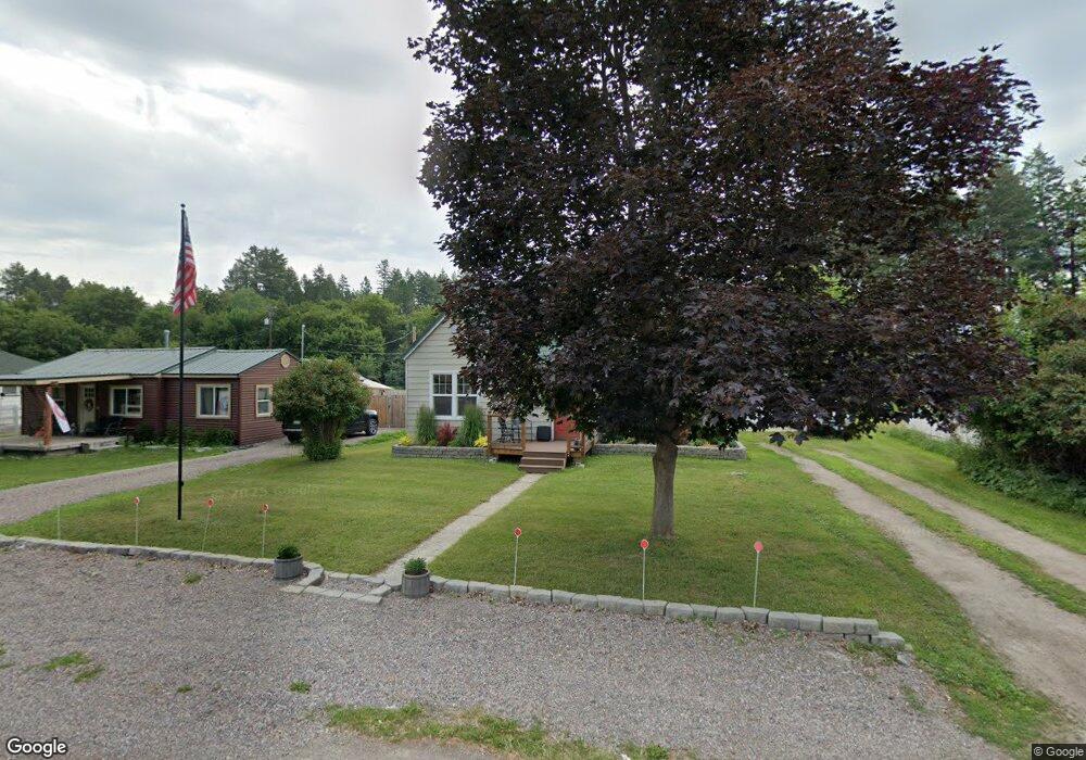
49 Tahoe Dr Kalispell, MT 59901
Estimated Value: $384,947 - $438,000
3
Beds
2
Baths
1,188
Sq Ft
$351/Sq Ft
Est. Value
About This Home
This home is located at 49 Tahoe Dr, Kalispell, MT 59901 and is currently estimated at $416,737, approximately $350 per square foot. 49 Tahoe Dr is a home located in Flathead County with nearby schools including Cornelius Hedges School, Kalispell Middle School, and Flathead High School.
Ownership History
Date
Name
Owned For
Owner Type
Purchase Details
Closed on
Nov 11, 2020
Sold by
Haven Jeffrey L and Estate Of Harold Richar Dhaven
Bought by
Boyce Kallai and Boyce Christopher
Current Estimated Value
Home Financials for this Owner
Home Financials are based on the most recent Mortgage that was taken out on this home.
Original Mortgage
$210,505
Outstanding Balance
$187,320
Interest Rate
2.8%
Mortgage Type
New Conventional
Estimated Equity
$229,417
Create a Home Valuation Report for This Property
The Home Valuation Report is an in-depth analysis detailing your home's value as well as a comparison with similar homes in the area
Purchase History
| Date | Buyer | Sale Price | Title Company |
|---|---|---|---|
| Boyce Kallai | -- | None Available |
Source: Public Records
Mortgage History
| Date | Status | Borrower | Loan Amount |
|---|---|---|---|
| Open | Boyce Kallai | $210,505 |
Source: Public Records
Tax History
| Year | Tax Paid | Tax Assessment Tax Assessment Total Assessment is a certain percentage of the fair market value that is determined by local assessors to be the total taxable value of land and additions on the property. | Land | Improvement |
|---|---|---|---|---|
| 2025 | $1,460 | $397,900 | $0 | $0 |
| 2024 | $2,164 | $329,400 | $0 | $0 |
| 2023 | $2,206 | $329,400 | $0 | $0 |
| 2022 | $2,030 | $234,800 | $0 | $0 |
| 2021 | $2,072 | $234,800 | $0 | $0 |
| 2020 | $1,664 | $178,900 | $0 | $0 |
| 2019 | $1,659 | $178,900 | $0 | $0 |
| 2018 | $1,456 | $149,500 | $0 | $0 |
| 2017 | $1,463 | $149,500 | $0 | $0 |
| 2016 | $1,273 | $143,500 | $0 | $0 |
| 2015 | $1,291 | $143,500 | $0 | $0 |
| 2014 | $1,195 | $79,500 | $0 | $0 |
Source: Public Records
Map
Nearby Homes
- 184 Lawrence Ln
- 100 Woodlands Way Unit S305
- 100 Woodlands Way Unit S312
- 100 Woodlands Way Unit W-204
- 100 Woodlands Way Unit P-408
- 100 Woodlands Way Unit P-205
- 100 Woodlands Way
- 100 Woodlands Way Unit P-307
- 100 Woodlands Way Unit P-406
- 100 Woodlands Way Unit S405
- 712 Conrad Dr
- 270 Caroline Rd
- 278 7th Ave W
- 684 E Washington St
- 274 Willow Glen Dr
- 1000 Rail Park Dr
- 715 8th St E
- 403 E Center St
- 51 Selders Ln
- 442 4th Ave E
Your Personal Tour Guide
Ask me questions while you tour the home.