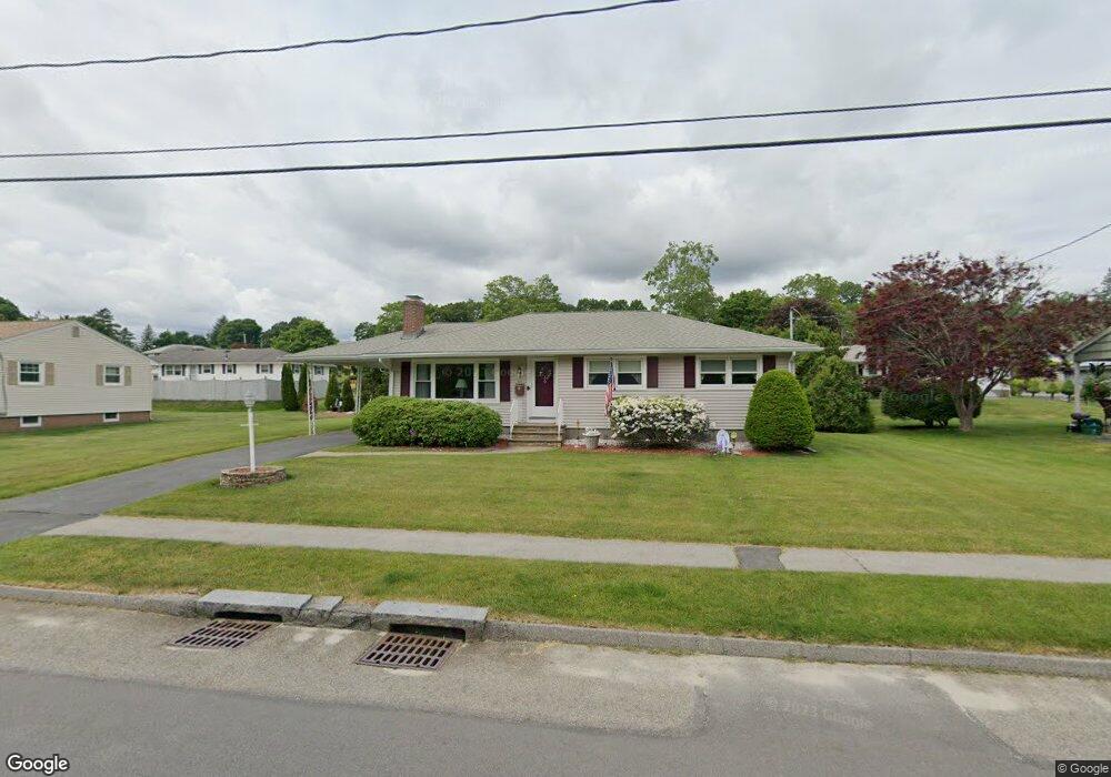
49 Thornton Rd Worcester, MA 01606
Greendale NeighborhoodEstimated Value: $417,000 - $437,000
3
Beds
2
Baths
1,192
Sq Ft
$358/Sq Ft
Est. Value
About This Home
This home is located at 49 Thornton Rd, Worcester, MA 01606 and is currently estimated at $427,083, approximately $358 per square foot. 49 Thornton Rd is a home located in Worcester County with nearby schools including Jacob Hiatt Magnet School, Chandler Magnet, and Thorndyke Road School.
Create a Home Valuation Report for This Property
The Home Valuation Report is an in-depth analysis detailing your home's value as well as a comparison with similar homes in the area
Home Values in the Area
Average Home Value in this Area
Tax History
| Year | Tax Paid | Tax Assessment Tax Assessment Total Assessment is a certain percentage of the fair market value that is determined by local assessors to be the total taxable value of land and additions on the property. | Land | Improvement |
|---|---|---|---|---|
| 2025 | $5,269 | $399,500 | $118,700 | $280,800 |
| 2024 | $5,149 | $374,500 | $118,700 | $255,800 |
| 2023 | $4,987 | $347,800 | $103,200 | $244,600 |
| 2022 | $4,428 | $291,100 | $82,600 | $208,500 |
| 2021 | $4,384 | $269,300 | $66,100 | $203,200 |
| 2020 | $4,566 | $268,600 | $66,100 | $202,500 |
| 2019 | $4,284 | $238,000 | $59,500 | $178,500 |
| 2018 | $4,119 | $217,800 | $59,500 | $158,300 |
| 2017 | $4,186 | $217,800 | $59,500 | $158,300 |
| 2016 | $4,141 | $200,900 | $43,700 | $157,200 |
| 2015 | $4,032 | $200,900 | $43,700 | $157,200 |
| 2014 | $3,926 | $200,900 | $43,700 | $157,200 |
Source: Public Records
Map
Nearby Homes
- 169 Whitmarsh Ave
- 15 Ericsson St
- 39 Whitmarsh Ave
- 55 Clark St
- 323 Burncoat St
- 331 Burncoat St
- 66 Eunice Ave
- 58 Osceola Ave
- 45 Goldthwaite Rd
- 3205 Halcyon Dr Unit 3205
- 44 Boardman St
- 30 Melrose St
- 31 Boardman St
- 30 Danielles Way
- 2 Selden St
- 12 Erie Ave
- 13 Fatima Ln
- 6 Roald St
- 22 Huron Ave
- 33 Denmark St
Your Personal Tour Guide
Ask me questions while you tour the home.