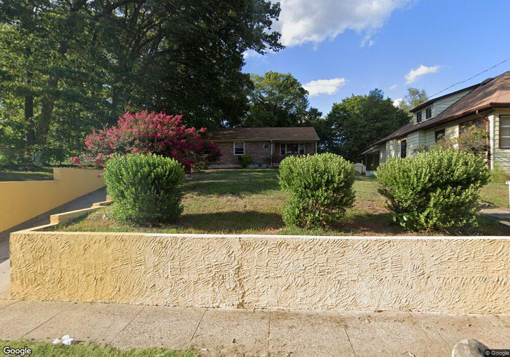
49 W Charleston Ave Lawnside, NJ 08045
Estimated Value: $206,000 - $259,000
--
Bed
--
Bath
1,110
Sq Ft
$213/Sq Ft
Est. Value
About This Home
This home is located at 49 W Charleston Ave, Lawnside, NJ 08045 and is currently estimated at $236,622, approximately $213 per square foot. 49 W Charleston Ave is a home located in Camden County with nearby schools including Lawnside Public Elementary School.
Ownership History
Date
Name
Owned For
Owner Type
Purchase Details
Closed on
Aug 25, 2022
Sold by
Hamilton Olivia
Bought by
Thomas Stuart K
Current Estimated Value
Home Financials for this Owner
Home Financials are based on the most recent Mortgage that was taken out on this home.
Original Mortgage
$117,034
Interest Rate
6.02%
Mortgage Type
FHA
Create a Home Valuation Report for This Property
The Home Valuation Report is an in-depth analysis detailing your home's value as well as a comparison with similar homes in the area
Home Values in the Area
Average Home Value in this Area
Purchase History
| Date | Buyer | Sale Price | Title Company |
|---|---|---|---|
| Thomas Stuart K | $135,320 | Your Hometown Title | |
| Thomas Stuart K | $135,320 | Your Hometown Title |
Source: Public Records
Mortgage History
| Date | Status | Borrower | Loan Amount |
|---|---|---|---|
| Closed | Thomas Stuart K | $10,000 | |
| Previous Owner | Thomas Stuart K | $117,034 |
Source: Public Records
Tax History Compared to Growth
Tax History
| Year | Tax Paid | Tax Assessment Tax Assessment Total Assessment is a certain percentage of the fair market value that is determined by local assessors to be the total taxable value of land and additions on the property. | Land | Improvement |
|---|---|---|---|---|
| 2025 | $5,385 | $114,300 | $35,400 | $78,900 |
| 2024 | $5,160 | $114,300 | $35,400 | $78,900 |
| 2023 | $5,160 | $114,300 | $35,400 | $78,900 |
| 2022 | $5,018 | $114,300 | $35,400 | $78,900 |
| 2021 | $4,804 | $114,300 | $35,400 | $78,900 |
| 2020 | $4,842 | $114,300 | $35,400 | $78,900 |
| 2019 | $4,763 | $114,300 | $35,400 | $78,900 |
| 2018 | $4,668 | $114,300 | $35,400 | $78,900 |
| 2017 | $4,590 | $114,300 | $35,400 | $78,900 |
| 2016 | $4,479 | $114,300 | $35,400 | $78,900 |
| 2015 | $4,216 | $114,300 | $35,400 | $78,900 |
| 2014 | $4,391 | $114,300 | $35,400 | $78,900 |
Source: Public Records
Map
Nearby Homes
- 26 Center Oak Ave
- 22 Center Oak Ave
- 59 E Oak Ave
- 115 Phillips Ave
- 0 Thomas Ave S
- 26 E Phoenix Ave
- 27 E Phoenix Ave
- 128 E Oak Ave
- 431 N White Horse Pike
- 172 E Charleston Ave
- 178 E Charleston Ave
- 358 Quaker Rd
- 207 NE Atlantic Ave
- 430 Brooke Ave
- 104 Bell Ave
- 130 E Evesham Ave
- 348 Silk St
- 518 Carver Ct
- 523 Carver Ct
- 130 W Monroe Ave
- 45 W Charleston Ave
- 41 W Charleston Ave
- 59 W Charleston Ave
- 46 Center Oak Ave
- 37 W Charleston Ave
- 58 E Oak Ave
- 58 Center Oak Ave
- 46 E Oak Ave
- 46 E Oak Ave
- 50 E Oak Ave
- 50 E Oak Ave
- 42 E Oak Ave
- 46 W Charleston Ave
- 52 W Charleston Ave
- 38 Center Oak Ave
- 62 Center Oak Ave
- 31 W Charleston Ave
- 62 E Oak Ave
- 62 E Oak Ave
- 109 White Horse Pike S