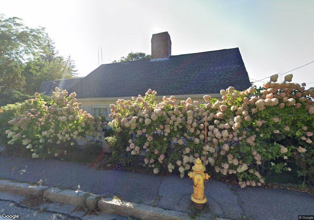
490 Washington St Gloucester, MA 01930
Estimated Value: $739,000 - $996,000
3
Beds
2
Baths
2,289
Sq Ft
$393/Sq Ft
Est. Value
About This Home
This home is located at 490 Washington St, Gloucester, MA 01930 and is currently estimated at $899,620, approximately $393 per square foot. 490 Washington St is a home located in Essex County with nearby schools including Beeman Memorial, Ralph B O'maley Middle School, and Gloucester High School.
Ownership History
Date
Name
Owned For
Owner Type
Purchase Details
Closed on
Apr 9, 2020
Sold by
Mg Rt and Russo
Bought by
Crp & Pe Central Sq Owner
Current Estimated Value
Purchase Details
Closed on
Jun 30, 1995
Sold by
Deering Jane V
Bought by
Ostrowski Kathleen K and Ostrowski Thomas
Purchase Details
Closed on
Jan 5, 1990
Sold by
Jenner Catherine
Bought by
Deering Jane
Create a Home Valuation Report for This Property
The Home Valuation Report is an in-depth analysis detailing your home's value as well as a comparison with similar homes in the area
Purchase History
| Date | Buyer | Sale Price | Title Company |
|---|---|---|---|
| Crp & Pe Central Sq Owner | $3,250,000 | None Available | |
| Ostrowski Kathleen K | $210,000 | -- | |
| Deering Jane | $245,000 | -- |
Source: Public Records
Mortgage History
| Date | Status | Borrower | Loan Amount |
|---|---|---|---|
| Previous Owner | Deering Jane | $200,000 | |
| Previous Owner | Deering Jane | $100,000 | |
| Previous Owner | Deering Jane | $100,000 |
Source: Public Records
Tax History
| Year | Tax Paid | Tax Assessment Tax Assessment Total Assessment is a certain percentage of the fair market value that is determined by local assessors to be the total taxable value of land and additions on the property. | Land | Improvement |
|---|---|---|---|---|
| 2025 | $8,287 | $852,600 | $379,000 | $473,600 |
| 2024 | $8,077 | $830,100 | $360,900 | $469,200 |
| 2023 | $8,222 | $776,400 | $322,500 | $453,900 |
| 2022 | $7,764 | $661,900 | $280,400 | $381,500 |
| 2021 | $7,509 | $603,600 | $255,000 | $348,600 |
| 2020 | $7,018 | $569,200 | $240,400 | $328,800 |
| 2019 | $6,694 | $527,500 | $240,400 | $287,100 |
| 2018 | $6,395 | $494,600 | $240,400 | $254,200 |
| 2017 | $6,141 | $465,600 | $228,900 | $236,700 |
| 2016 | $5,858 | $430,400 | $217,100 | $213,300 |
| 2015 | $5,785 | $423,800 | $217,100 | $206,700 |
Source: Public Records
Map
Nearby Homes
- 3 Deacon Farm Ln
- 31 Echo Ave
- 13 Honeysuckle Rd
- 2 Breezy Point Rd
- 672 Washington St
- 13 Mystic Ave
- 8 Mystic Ave
- 3 Rockland St
- 6 Monroe Ct
- 98 Maplewood Ave
- 167 Atlantic St
- 178 Atlantic St
- 12 Arthur St
- 9 Cleveland Place
- 40 Sargent St
- 226 Atlantic St
- 19 Trask St Unit 2
- 50 Warner St
- 33 Maplewood Ave Unit 310
- 113 Pleasant St
- 492 Washington St
- 501 Washington St
- 482 Washington St
- 486 Washington St
- 505 Washington St
- 494 Washington St
- 480A Washington St
- 496 Washington St
- 497 Washington St
- 507 Washington St
- 480 Washington St
- 498 Washington St- Off Season
- 498 Washington St
- 509 Washington St
- 491 Washington St
- 7 Gardner Terrace
- 502R Washington St
- 476 Washington St
- 5 Gardner Terrace
- 511 Washington St
Your Personal Tour Guide
Ask me questions while you tour the home.