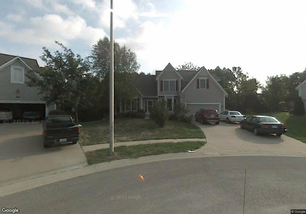
4901 Mccoy St Shawnee, KS 66226
Estimated Value: $440,484 - $474,000
4
Beds
4
Baths
2,336
Sq Ft
$197/Sq Ft
Est. Value
About This Home
This home is located at 4901 Mccoy St, Shawnee, KS 66226 and is currently estimated at $460,121, approximately $196 per square foot. 4901 Mccoy St is a home located in Johnson County with nearby schools including Prairie Ridge Elementary School, Monticello Trails Middle School, and Mill Valley High School.
Ownership History
Date
Name
Owned For
Owner Type
Purchase Details
Closed on
Jun 11, 2018
Sold by
Rittenhouse Martin E
Bought by
Rittenhouse Darlene M
Current Estimated Value
Create a Home Valuation Report for This Property
The Home Valuation Report is an in-depth analysis detailing your home's value as well as a comparison with similar homes in the area
Home Values in the Area
Average Home Value in this Area
Purchase History
| Date | Buyer | Sale Price | Title Company |
|---|---|---|---|
| Rittenhouse Darlene M | -- | None Available |
Source: Public Records
Tax History Compared to Growth
Tax History
| Year | Tax Paid | Tax Assessment Tax Assessment Total Assessment is a certain percentage of the fair market value that is determined by local assessors to be the total taxable value of land and additions on the property. | Land | Improvement |
|---|---|---|---|---|
| 2024 | $5,627 | $48,392 | $8,996 | $39,396 |
| 2023 | $5,630 | $47,874 | $8,996 | $38,878 |
| 2022 | $5,141 | $42,837 | $7,821 | $35,016 |
| 2021 | $4,944 | $39,606 | $7,821 | $31,785 |
| 2020 | $4,455 | $35,351 | $7,114 | $28,237 |
| 2019 | $4,515 | $35,305 | $6,186 | $29,119 |
| 2018 | $4,155 | $32,189 | $6,186 | $26,003 |
| 2017 | $4,083 | $30,854 | $5,375 | $25,479 |
| 2016 | $3,960 | $29,555 | $5,113 | $24,442 |
| 2015 | $3,939 | $28,911 | $5,113 | $23,798 |
| 2013 | -- | $25,933 | $5,113 | $20,820 |
Source: Public Records
Map
Nearby Homes
- 5005 Hilltop Dr
- 22014 W 51st St
- 5116 Payne St
- 22625 W 49th St
- 22115 W 51st Terrace
- 22014 W 47th Terrace
- 22714 W 49th St
- 5206 Round Prairie St
- 4638 Aminda St
- 22910 W 51st St
- 22611 W 46th Terrace
- 21525 W 51st St
- 21804 W 52nd Terrace
- 22912 W 47th Terrace
- 4713 Lone Elm
- 21408 W 50th St
- 5402 Roundtree St
- 5408 Aminda St
- 9307 Aminda St
- 9303 Aminda St
- 4902 Mccoy St
- 4912 Roundtree St
- 4905 Mccoy St
- 4916 Roundtree St
- 4909 Mccoy St
- 4908 Roundtree St
- 4906 Mccoy St
- 4910 Mccoy St
- 4920 Roundtree St
- 4904 Roundtree St
- 4910 Hilltop Dr
- 4919 Hilltop Dr
- 4915 Hilltop Dr
- 4914 Mccoy St
- 4924 Roundtree St
- 4900 Roundtree St
- 4928 Roundtree St
- 5001 Hilltop Dr
- 4918 Mccoy St
- 5004 Chouteau St