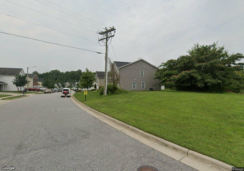
4902 Peppercorn Ln Greensboro, NC 27406
Polecat Creek NeighborhoodEstimated Value: $313,000 - $340,000
4
Beds
3
Baths
2,161
Sq Ft
$150/Sq Ft
Est. Value
About This Home
This home is located at 4902 Peppercorn Ln, Greensboro, NC 27406 and is currently estimated at $324,480, approximately $150 per square foot. 4902 Peppercorn Ln is a home located in Guilford County with nearby schools including Sumner Elementary School, Southern Guilford Middle, and Southern Guilford High School.
Ownership History
Date
Name
Owned For
Owner Type
Purchase Details
Closed on
Oct 2, 2007
Sold by
Keystone Group Inc
Bought by
Alston Hope L
Current Estimated Value
Home Financials for this Owner
Home Financials are based on the most recent Mortgage that was taken out on this home.
Original Mortgage
$132,280
Outstanding Balance
$82,837
Interest Rate
6.27%
Mortgage Type
Purchase Money Mortgage
Estimated Equity
$241,643
Create a Home Valuation Report for This Property
The Home Valuation Report is an in-depth analysis detailing your home's value as well as a comparison with similar homes in the area
Home Values in the Area
Average Home Value in this Area
Purchase History
| Date | Buyer | Sale Price | Title Company |
|---|---|---|---|
| Alston Hope L | $165,500 | None Available |
Source: Public Records
Mortgage History
| Date | Status | Borrower | Loan Amount |
|---|---|---|---|
| Open | Alston Hope L | $132,280 |
Source: Public Records
Tax History Compared to Growth
Tax History
| Year | Tax Paid | Tax Assessment Tax Assessment Total Assessment is a certain percentage of the fair market value that is determined by local assessors to be the total taxable value of land and additions on the property. | Land | Improvement |
|---|---|---|---|---|
| 2025 | $3,233 | $230,400 | $54,000 | $176,400 |
| 2024 | $3,233 | $230,400 | $54,000 | $176,400 |
| 2023 | $3,233 | $230,400 | $54,000 | $176,400 |
| 2022 | $3,140 | $230,400 | $54,000 | $176,400 |
| 2021 | $2,106 | $151,200 | $16,000 | $135,200 |
| 2020 | $2,106 | $151,200 | $16,000 | $135,200 |
| 2019 | $2,106 | $151,200 | $0 | $0 |
| 2018 | $2,046 | $151,200 | $0 | $0 |
| 2017 | $2,046 | $151,200 | $0 | $0 |
| 2016 | $2,209 | $143,600 | $0 | $0 |
| 2015 | $2,222 | $159,600 | $0 | $0 |
| 2014 | $2,238 | $159,600 | $0 | $0 |
Source: Public Records
Map
Nearby Homes
- 4908 Peppercorn Ln
- 528 Foxridge Rd
- 4404 Tyndale Ct
- 4210 Randleman Rd
- 1902 Penley Trail
- 1908 Penley Trail
- 1912 Penley Trail
- 1914 Penley Trail
- 1916 Penley Trail
- 1918 Penley Trail
- Dayton Plan at Avondale
- Vermont Plan at Avondale
- Fairfield Plan at Avondale
- Irvine Plan at Avondale
- Greensboro Plan at Avondale
- Southport Plan at Avondale
- Freeport Plan at Avondale
- Jamestown Plan at Avondale
- Burlington Plan at Avondale
- Kendall Plan at Avondale
- 1011 Ronald Rd
- 4904 Peppercorn Ln
- 4906 Peppercorn Ln
- 4900 Peppercorn Ln
- 4905 Peppercorn Ln
- 4903 Peppercorn Ln
- 4907 Peppercorn Ln
- 4909 Peppercorn Ln
- 4901 Peppercorn Ln
- 1012 Ronald Rd
- 4910 Peppercorn Ln
- 1020 Caraway Ct
- 1018 Caraway Ct
- 4806 Peppercorn Ln
- 1016 Caraway Ct
- 1010 Ronald Rd
- 1009 Pitman Rd
- 1014 Caraway Ct
- 1009 Ronald Rd
- 4912 Peppercorn Ln