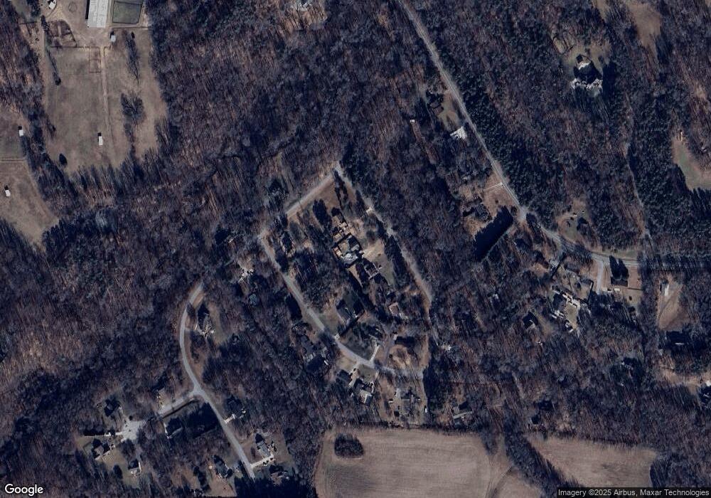
4904 Robert Andrew Rd Greensboro, NC 27406
Estimated Value: $259,000 - $331,000
3
Beds
2
Baths
1,552
Sq Ft
$191/Sq Ft
Est. Value
About This Home
This home is located at 4904 Robert Andrew Rd, Greensboro, NC 27406 and is currently estimated at $297,149, approximately $191 per square foot. 4904 Robert Andrew Rd is a home located in Guilford County with nearby schools including Alamance Elementary School, Southeast Guilford Middle School, and Southeast Guilford High School.
Ownership History
Date
Name
Owned For
Owner Type
Purchase Details
Closed on
Sep 26, 2002
Sold by
Rich Misty M and Dick Misty M
Bought by
Rich Misty M and Rich Michael T
Current Estimated Value
Home Financials for this Owner
Home Financials are based on the most recent Mortgage that was taken out on this home.
Original Mortgage
$100,244
Interest Rate
6.21%
Purchase Details
Closed on
Mar 29, 2000
Sold by
Williams Constance Adams
Bought by
Dick Misty M
Home Financials for this Owner
Home Financials are based on the most recent Mortgage that was taken out on this home.
Original Mortgage
$110,800
Interest Rate
7.5%
Purchase Details
Closed on
Mar 3, 1999
Sold by
Haarr Doris T and Haarr Allan P
Bought by
Williams Constance Adams
Home Financials for this Owner
Home Financials are based on the most recent Mortgage that was taken out on this home.
Original Mortgage
$78,240
Interest Rate
6.74%
Create a Home Valuation Report for This Property
The Home Valuation Report is an in-depth analysis detailing your home's value as well as a comparison with similar homes in the area
Home Values in the Area
Average Home Value in this Area
Purchase History
| Date | Buyer | Sale Price | Title Company |
|---|---|---|---|
| Rich Misty M | -- | -- | |
| Dick Misty M | $117,000 | -- | |
| Williams Constance Adams | $63,233 | -- |
Source: Public Records
Mortgage History
| Date | Status | Borrower | Loan Amount |
|---|---|---|---|
| Closed | Rich Misty M | $100,244 | |
| Closed | Dick Misty M | $110,800 | |
| Previous Owner | Williams Constance Adams | $78,240 |
Source: Public Records
Tax History Compared to Growth
Tax History
| Year | Tax Paid | Tax Assessment Tax Assessment Total Assessment is a certain percentage of the fair market value that is determined by local assessors to be the total taxable value of land and additions on the property. | Land | Improvement |
|---|---|---|---|---|
| 2025 | $1,530 | $172,700 | $50,000 | $122,700 |
| 2024 | $1,530 | $172,700 | $50,000 | $122,700 |
| 2023 | $1,530 | $172,700 | $50,000 | $122,700 |
| 2022 | $1,530 | $172,700 | $50,000 | $122,700 |
| 2021 | $1,128 | $127,300 | $22,000 | $105,300 |
| 2020 | $1,083 | $127,300 | $22,000 | $105,300 |
| 2019 | $1,080 | $127,300 | $0 | $0 |
| 2018 | $1,075 | $127,300 | $0 | $0 |
| 2017 | $1,057 | $127,300 | $0 | $0 |
| 2016 | $1,065 | $124,600 | $0 | $0 |
| 2015 | $1,071 | $124,600 | $0 | $0 |
| 2014 | $1,084 | $124,600 | $0 | $0 |
Source: Public Records
Map
Nearby Homes
- 5001 Robert Andrew Rd
- 2360, 2372 Alamance Church Rd
- 1905 Cardinal Crest Rd
- 4300 Comanche Trail
- 4581 Worthing Chase Dr
- 5829 Thacker Dairy Rd
- 3927 Fox Grove Trail
- 1729 Youngs Mill Rd
- 4111 Vershire Ave
- 3806 SE School Rd
- 127 Chestnut Bend Dr
- 4502 Whitby Place
- 3800 Bellingham Ct
- 3226 Pine Brook Ln
- 3247 Pine Brook Ln
- 3803 Oakcliffe Rd
- 4407 Bromley Dr
- Meadowlark Plan at McConnell Ridge
- Sparrow Plan at McConnell Ridge
- 4502 Bromley Dr
- 4906 Robert Andrew Rd
- 4900 Robert Andrew Rd
- 4908 Robert Andrew Rd
- 4903 Beaverdale Dr
- 4909 Beaverdale Dr
- 4901 Beaverdale Dr
- 4911 Beaverdale Dr
- 3701 Clayburn Rd
- 4915 Beaverdale Dr
- 5108 Thacker Dairy Rd
- 4908 Beaverdale Dr
- 5106 Thacker Dairy Rd
- 5104 Thacker Dairy Rd
- 3802 Clayburn Rd
- 4910 Beaverdale Dr
- 5003 Robert Andrew Rd
- 4912 Beaverdale Dr
- 5200 Thacker Dairy Rd
- 5100 Thacker Dairy Rd
- 4916 Beaverdale Dr
