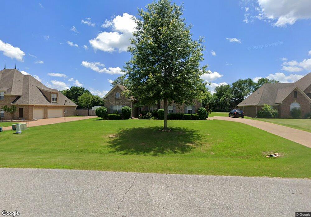
4905 Coleman Rd Olive Branch, MS 38654
Pleasant Hill NeighborhoodEstimated Value: $373,000 - $387,000
4
Beds
3
Baths
2,812
Sq Ft
$136/Sq Ft
Est. Value
About This Home
This home is located at 4905 Coleman Rd, Olive Branch, MS 38654 and is currently estimated at $381,514, approximately $135 per square foot. 4905 Coleman Rd is a home located in DeSoto County with nearby schools including Pleasant Hill Elementary School, DeSoto Central Middle School, and DeSoto Central High School.
Ownership History
Date
Name
Owned For
Owner Type
Purchase Details
Closed on
Feb 20, 2008
Sold by
Lasalle Bank National Association
Bought by
Bates Tyrone and Bates Jacqueline Turner
Current Estimated Value
Home Financials for this Owner
Home Financials are based on the most recent Mortgage that was taken out on this home.
Original Mortgage
$215,000
Outstanding Balance
$130,063
Interest Rate
5.46%
Mortgage Type
Purchase Money Mortgage
Estimated Equity
$251,451
Purchase Details
Closed on
Oct 30, 2007
Sold by
Jones Aaron L and Jones Angela
Bought by
Lasalle Bank N A
Create a Home Valuation Report for This Property
The Home Valuation Report is an in-depth analysis detailing your home's value as well as a comparison with similar homes in the area
Home Values in the Area
Average Home Value in this Area
Purchase History
| Date | Buyer | Sale Price | Title Company |
|---|---|---|---|
| Bates Tyrone | -- | None Available | |
| Lasalle Bank N A | $315,722 | None Available |
Source: Public Records
Mortgage History
| Date | Status | Borrower | Loan Amount |
|---|---|---|---|
| Open | Bates Tyrone | $215,000 |
Source: Public Records
Tax History Compared to Growth
Tax History
| Year | Tax Paid | Tax Assessment Tax Assessment Total Assessment is a certain percentage of the fair market value that is determined by local assessors to be the total taxable value of land and additions on the property. | Land | Improvement |
|---|---|---|---|---|
| 2025 | $3,399 | $24,902 | $3,000 | $21,902 |
| 2024 | $2,172 | $18,114 | $3,000 | $15,114 |
| 2023 | $2,172 | $18,114 | $0 | $0 |
| 2022 | $2,172 | $18,114 | $3,000 | $15,114 |
| 2021 | $2,172 | $18,114 | $3,000 | $15,114 |
| 2020 | $2,007 | $16,900 | $3,000 | $13,900 |
| 2019 | $2,007 | $16,900 | $3,000 | $13,900 |
| 2017 | $1,989 | $30,368 | $16,684 | $13,684 |
| 2016 | $1,989 | $17,899 | $3,000 | $14,899 |
| 2015 | $2,456 | $32,798 | $17,899 | $14,899 |
| 2014 | $2,156 | $17,899 | $0 | $0 |
| 2013 | $2,236 | $17,899 | $0 | $0 |
Source: Public Records
Map
Nearby Homes
- 4798 Shinault Ln
- 4990 Witt Cove
- Bristol Plan at Villages at Southbranch
- Lacombe Plan at Villages at Southbranch
- Cameron Plan at Villages at Southbranch
- Covington Plan at Villages at Southbranch
- CLIFTON Plan at Villages at Southbranch
- Denham Plan at Villages at Southbranch
- Dover Plan at Villages at Southbranch
- 5283 Borden Creek Dr
- 5287 Borden Creek Dr
- 5350 Bunyan Hill Dr
- 8146 Wisteria Dr
- 5368 Bunyan Hill Dr
- 5382 Bunyan Hill Dr
- 5400 Bunyan Hill Dr
- 8304 Gum Pond Dr
- 4350 Abele Cove
- 5380 Braham Dr
- 5504 Bunyan Hill Dr
- 4919 Coleman Rd
- 4914 Coleman Rd
- 4891 Coleman Rd
- 4892 Coleman Rd
- 4892 Coleman Rd Unit 56
- 4933 Coleman Rd
- 4933 Coleman Rd Unit 8
- 4870 Coleman Rd
- 4870 Coleman Rd Unit 55
- 4873 Coleman Rd
- 8589 Wilderness Trail
- 4947 Coleman Rd
- 4947 Coleman Rd Unit 7
- 50 Coleman Rd
- 4852 Coleman Rd
- 4851 Coleman Rd
- 4891 Deer Run Rd
- 4961 Coleman Rd
- 4869 Deer Run Rd
- 4882 Shinault Ln