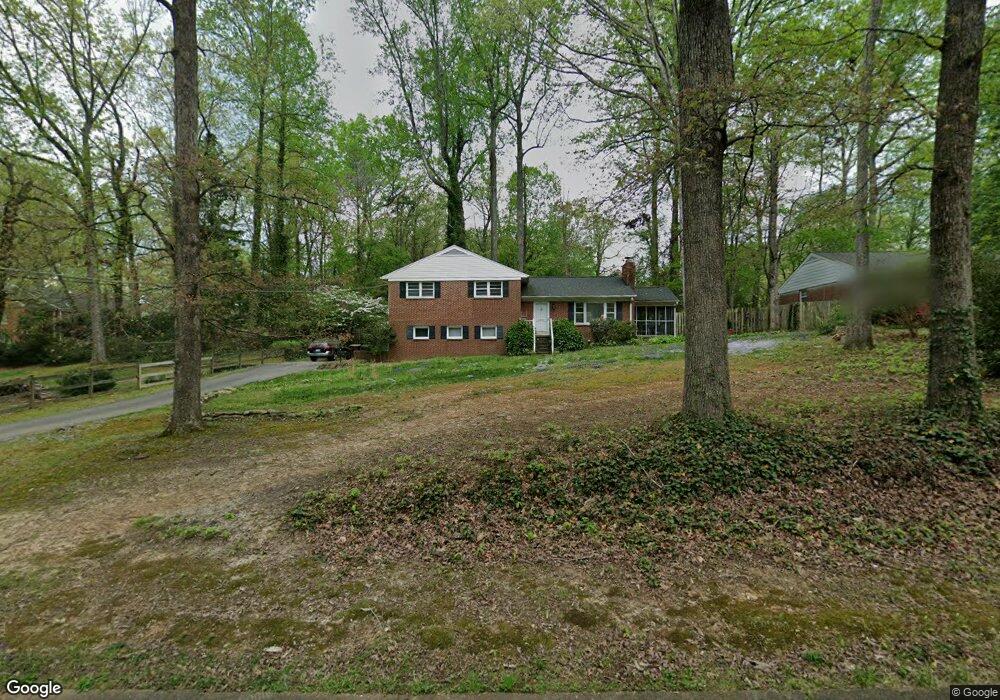
4905 Manning Dr Greensboro, NC 27410
Hamilton Lakes NeighborhoodEstimated Value: $372,980 - $409,000
3
Beds
2
Baths
2,164
Sq Ft
$181/Sq Ft
Est. Value
About This Home
This home is located at 4905 Manning Dr, Greensboro, NC 27410 and is currently estimated at $391,995, approximately $181 per square foot. 4905 Manning Dr is a home located in Guilford County with nearby schools including Morehead Elementary School, Kiser Middle School, and Grimsley High School.
Ownership History
Date
Name
Owned For
Owner Type
Purchase Details
Closed on
Jun 30, 1999
Sold by
Delvecchio Susan Kay
Bought by
Greene Dulaney Charles David and Greene Dulaney Susan
Current Estimated Value
Home Financials for this Owner
Home Financials are based on the most recent Mortgage that was taken out on this home.
Original Mortgage
$140,125
Outstanding Balance
$38,352
Interest Rate
7.27%
Estimated Equity
$353,643
Create a Home Valuation Report for This Property
The Home Valuation Report is an in-depth analysis detailing your home's value as well as a comparison with similar homes in the area
Home Values in the Area
Average Home Value in this Area
Purchase History
| Date | Buyer | Sale Price | Title Company |
|---|---|---|---|
| Greene Dulaney Charles David | $147,500 | -- |
Source: Public Records
Mortgage History
| Date | Status | Borrower | Loan Amount |
|---|---|---|---|
| Open | Greene Dulaney Charles David | $140,125 |
Source: Public Records
Tax History Compared to Growth
Tax History
| Year | Tax Paid | Tax Assessment Tax Assessment Total Assessment is a certain percentage of the fair market value that is determined by local assessors to be the total taxable value of land and additions on the property. | Land | Improvement |
|---|---|---|---|---|
| 2025 | $3,123 | $222,600 | $60,000 | $162,600 |
| 2024 | $3,123 | $222,600 | $60,000 | $162,600 |
| 2023 | $3,123 | $222,600 | $60,000 | $162,600 |
| 2022 | $3,034 | $222,600 | $60,000 | $162,600 |
| 2021 | $2,780 | $199,600 | $50,000 | $149,600 |
| 2020 | $2,780 | $199,600 | $50,000 | $149,600 |
| 2019 | $1,924 | $199,700 | $0 | $0 |
| 2018 | $2,702 | $199,700 | $0 | $0 |
| 2017 | $2,702 | $199,700 | $0 | $0 |
| 2016 | $2,537 | $183,300 | $0 | $0 |
| 2015 | $2,552 | $183,300 | $0 | $0 |
| 2014 | $2,571 | $183,300 | $0 | $0 |
Source: Public Records
Map
Nearby Homes
- 4601 Graham Rd
- 806 Larkwood Dr
- 4604 Starmount Dr
- 817 Jefferson Rd
- 4204- B Henderson Rd
- 4204- A Henderson Rd
- 4812 Gaines Dr
- 4809 Tara Dr
- 705 Muirs Chapel Rd
- 4932 Cannon Crossing Way
- 911 Cannon Crossing Cir
- 4506 Starmount Dr
- 6 Round Tree Ct
- 4605 Tower Rd
- 4228 Starmount Dr
- 210 Kemp Rd E
- 424 Muirs Chapel Rd Unit 7
- 202 Kemp Rd W
- 5414 Dobson Rd
- 4827 Tower Rd Unit D
- 4907 Manning Dr
- 710 Wimberly Dr
- 4011 Henderson Rd
- 1125 Montpelier Dr
- 1123 Montpelier Dr
- 4906 Manning Dr
- 4908 Manning Dr
- 5001 Manning Dr
- 708 Wimberly Dr
- 1121 Montpelier Dr
- 5000 Lancaster Rd
- 5000 Manning Dr
- 5003 Manning Dr
- 4009 Henderson Rd
- 1119 Montpelier Dr
- 5002 Lancaster Rd
- 5005 Manning Dr
- 5001 Lancaster Rd
- 1117 Montpelier Dr
- 1215 Lakewood Dr