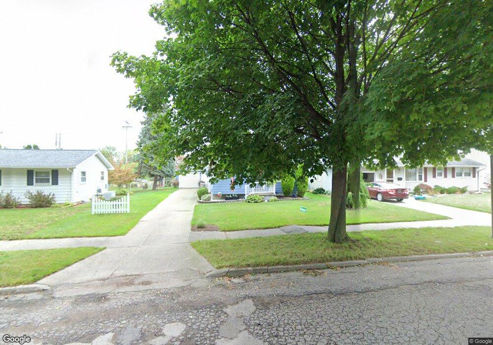
4909 Devonshire Ave Lansing, MI 48910
Old Everett NeighborhoodEstimated Value: $148,482 - $190,000
Studio
--
Bath
975
Sq Ft
$172/Sq Ft
Est. Value
About This Home
This home is located at 4909 Devonshire Ave, Lansing, MI 48910 and is currently estimated at $167,871, approximately $172 per square foot. 4909 Devonshire Ave is a home located in Ingham County with nearby schools including Kendon School, Attwood School, and Everett High School.
Ownership History
Date
Name
Owned For
Owner Type
Purchase Details
Closed on
Sep 14, 2001
Sold by
Garrison Steven P and Garrison Yvonne B
Bought by
Colthorp Mary A
Current Estimated Value
Home Financials for this Owner
Home Financials are based on the most recent Mortgage that was taken out on this home.
Original Mortgage
$93,500
Outstanding Balance
$36,407
Interest Rate
6.97%
Mortgage Type
Purchase Money Mortgage
Estimated Equity
$131,464
Purchase Details
Closed on
Oct 14, 1997
Bought by
Colthorp Mary A
Create a Home Valuation Report for This Property
The Home Valuation Report is an in-depth analysis detailing your home's value as well as a comparison with similar homes in the area
Home Values in the Area
Average Home Value in this Area
Purchase History
| Date | Buyer | Sale Price | Title Company |
|---|---|---|---|
| Colthorp Mary A | $143,000 | First American Title Ins Co | |
| Rodocker Julee M | $110,000 | -- | |
| Colthorp Mary A | $81,500 | -- |
Source: Public Records
Mortgage History
| Date | Status | Borrower | Loan Amount |
|---|---|---|---|
| Open | Rodocker Julee M | $93,500 | |
| Closed | Colthorp Mary A | $110,000 |
Source: Public Records
Tax History
| Year | Tax Paid | Tax Assessment Tax Assessment Total Assessment is a certain percentage of the fair market value that is determined by local assessors to be the total taxable value of land and additions on the property. | Land | Improvement |
|---|---|---|---|---|
| 2025 | $2,884 | $67,100 | $10,000 | $57,100 |
| 2024 | $23 | $65,000 | $10,000 | $55,000 |
| 2023 | $2,705 | $57,900 | $10,000 | $47,900 |
| 2022 | $2,439 | $53,300 | $9,500 | $43,800 |
| 2021 | $2,388 | $50,500 | $5,900 | $44,600 |
| 2020 | $2,373 | $47,000 | $5,900 | $41,100 |
| 2019 | $2,275 | $45,600 | $5,900 | $39,700 |
| 2018 | $2,132 | $39,900 | $5,900 | $34,000 |
| 2017 | $2,041 | $39,900 | $5,900 | $34,000 |
| 2016 | $1,952 | $36,000 | $5,900 | $30,100 |
| 2015 | $1,952 | $35,100 | $11,815 | $23,285 |
| 2014 | $1,952 | $34,500 | $8,622 | $25,878 |
Source: Public Records
Map
Nearby Homes
- 1101 Kendon Dr
- 4815 S Pennsylvania Ave
- 4719 S Pennsylvania Ave
- 1109 Barr Ave
- 4806 Lyncott Dr
- 1115 Shirley St
- 0 Glenwood Ave
- 801 Jessop Ave
- 810 Fenton St
- 817 Jessop Ave
- 629 Emily Ave
- 709 Jessop Ave
- 3907 Glenwood Ave
- 600 E Cavanaugh Rd
- 0 N Aurelius Rd
- 2018 Worden St
- 601 Jessop Ave
- 522 E Cavanaugh Rd
- 705 Hunter Blvd
- 2110 Worden St
- 4915 Devonshire Ave
- 4901 Devonshire Ave
- 4921 Devonshire Ave
- 4825 Devonshire Ave
- 4927 Devonshire Ave
- 4817 Devonshire Ave
- 4908 Devonshire Ave
- 4900 Devonshire Ave
- 4916 Devonshire Ave
- 5001 Devonshire Ave
- 4920 Devonshire Ave
- 4822 Devonshire Ave
- 4926 Devonshire Ave
- 4814 Devonshire Ave
- 4807 Devonshire Ave
- 5000 Devonshire Ave
- 4808 Devonshire Ave
- 4911 Alpha St
- 4905 Alpha St
Your Personal Tour Guide
Ask me questions while you tour the home.