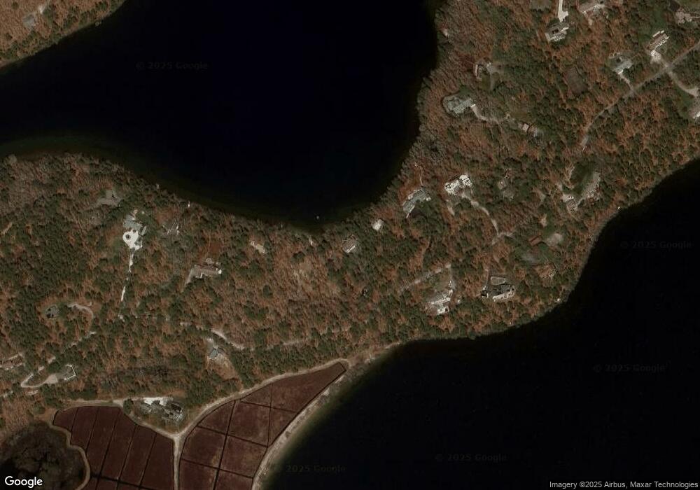
491 Crowells Bog Rd Brewster, MA 02631
Estimated Value: $1,590,000 - $2,693,000
4
Beds
5
Baths
3,261
Sq Ft
$683/Sq Ft
Est. Value
About This Home
This home is located at 491 Crowells Bog Rd, Brewster, MA 02631 and is currently estimated at $2,227,537, approximately $683 per square foot. 491 Crowells Bog Rd is a home located in Barnstable County with nearby schools including Stony Brook Elementary School, Eddy Elementary School, and Nauset Regional Middle School.
Ownership History
Date
Name
Owned For
Owner Type
Purchase Details
Closed on
May 27, 2009
Sold by
Latina Mark A and Latina Sally O
Bought by
Int Latina and Latina Mark A
Current Estimated Value
Purchase Details
Closed on
Mar 17, 2006
Sold by
491 Crowells Bog Road and Sullivan Christine
Bought by
Latina Mark A and Latina Sally O
Purchase Details
Closed on
Oct 21, 2003
Sold by
Grogan Nt and Grogan Wells B
Bought by
491 Crowells Bog Rd Rt and Grogan Helen P
Create a Home Valuation Report for This Property
The Home Valuation Report is an in-depth analysis detailing your home's value as well as a comparison with similar homes in the area
Home Values in the Area
Average Home Value in this Area
Purchase History
| Date | Buyer | Sale Price | Title Company |
|---|---|---|---|
| Int Latina | -- | -- | |
| Latina Mark A | -- | -- | |
| 491 Crowells Bog Rd Rt | $783,000 | -- |
Source: Public Records
Mortgage History
| Date | Status | Borrower | Loan Amount |
|---|---|---|---|
| Open | 491 Crowells Bog Rd Rt | $254,000 | |
| Previous Owner | 491 Crowells Bog Rd Rt | $310,000 |
Source: Public Records
Tax History
| Year | Tax Paid | Tax Assessment Tax Assessment Total Assessment is a certain percentage of the fair market value that is determined by local assessors to be the total taxable value of land and additions on the property. | Land | Improvement |
|---|---|---|---|---|
| 2025 | $14,469 | $2,103,100 | $1,065,200 | $1,037,900 |
| 2024 | $13,523 | $1,985,800 | $1,004,900 | $980,900 |
| 2023 | $12,476 | $1,784,800 | $897,100 | $887,700 |
| 2022 | $12,294 | $1,566,100 | $747,400 | $818,700 |
| 2021 | $11,783 | $1,373,300 | $649,700 | $723,600 |
| 2020 | $11,359 | $1,317,800 | $649,700 | $668,100 |
| 2019 | $10,444 | $1,217,300 | $580,400 | $636,900 |
| 2018 | $9,487 | $1,148,600 | $535,700 | $612,900 |
| 2017 | $8,674 | $1,033,900 | $500,000 | $533,900 |
| 2016 | $8,350 | $990,500 | $490,300 | $500,200 |
| 2015 | $8,046 | $974,100 | $480,600 | $493,500 |
Source: Public Records
Map
Nearby Homes
- 728 Great Fields Rd
- 958 Long Pond Rd
- 14 2nd St
- 3 Stephen Hopkins Rd
- 9 Keldan Way
- 184 Barons Way
- 337 Jonathans Way
- 58 Aunt Molls Ridge Rd
- 16 Long Pond Dr
- 19 Walkerwoods Dr
- 120 Red Maple Rd
- 274 Commons Way
- 26 Walkerwoods Dr
- 737 Thousand Oaks Dr
- 13 Mill Pond Rd
- 52 Eaton Ln Unit (52)
- 127 Eaton Ln Unit 127
- 204 Eaton Ln Unit 204
- 1580 Main St
- 3 Bentley Rd
- 491 Crowell's Bog Rd
- 511 Crowells Bog Rd
- 425 Crowells Bog Rd
- 537 Crowells Bog Rd
- 421 Crowells Bog Rd
- 524 Crowells Bog Rd
- 555 Crowells Bog Rd
- 569 Crowell's Bog
- 397 Crowells Bog Rd
- 577 Crowell's Bog Rd
- 550 Crowells Bog Rd
- 569 Crowells Bog Rd
- 410 Crowells Bog Rd
- 585 Crowell's Bog Rd
- 573 Crowells Bog Rd
- 385 Crowells Bog Rd
- 560 Crowells Bog Rd
- 585 Crowells Bog Rd
- 577 Crowells Bog Rd
- 371 Crowells Bog Rd
