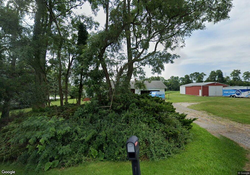
491 State Route 95 Loudonville, OH 44842
Estimated Value: $325,000 - $390,000
3
Beds
3
Baths
1,616
Sq Ft
$218/Sq Ft
Est. Value
About This Home
This home is located at 491 State Route 95, Loudonville, OH 44842 and is currently estimated at $352,056, approximately $217 per square foot. 491 State Route 95 is a home located in Ashland County with nearby schools including McMullen Elementary School, Budd Elementary School, and Loudonville High School.
Ownership History
Date
Name
Owned For
Owner Type
Purchase Details
Closed on
Aug 28, 2002
Sold by
Smith Linda S
Bought by
Garn Michael L
Current Estimated Value
Purchase Details
Closed on
Oct 25, 2000
Sold by
Obrecht G Harold
Bought by
Smith Linda S
Purchase Details
Closed on
Jan 1, 1990
Bought by
Obrecht G Harold
Create a Home Valuation Report for This Property
The Home Valuation Report is an in-depth analysis detailing your home's value as well as a comparison with similar homes in the area
Home Values in the Area
Average Home Value in this Area
Purchase History
| Date | Buyer | Sale Price | Title Company |
|---|---|---|---|
| Garn Michael L | $155,000 | -- | |
| Smith Linda S | $144,000 | -- | |
| Obrecht G Harold | -- | -- |
Source: Public Records
Tax History Compared to Growth
Tax History
| Year | Tax Paid | Tax Assessment Tax Assessment Total Assessment is a certain percentage of the fair market value that is determined by local assessors to be the total taxable value of land and additions on the property. | Land | Improvement |
|---|---|---|---|---|
| 2024 | $2,937 | $75,830 | $20,150 | $55,680 |
| 2023 | $2,937 | $75,830 | $20,150 | $55,680 |
| 2022 | $2,290 | $52,300 | $13,900 | $38,400 |
| 2021 | $2,328 | $52,300 | $13,900 | $38,400 |
| 2020 | $2,191 | $52,300 | $13,900 | $38,400 |
| 2019 | $1,999 | $47,870 | $10,720 | $37,150 |
| 2018 | $2,011 | $47,870 | $10,720 | $37,150 |
| 2017 | $2,004 | $47,870 | $10,720 | $37,150 |
| 2016 | $1,717 | $42,370 | $9,490 | $32,880 |
| 2015 | $1,704 | $42,370 | $9,490 | $32,880 |
| 2013 | $1,768 | $43,200 | $9,280 | $33,920 |
Source: Public Records
Map
Nearby Homes
- 560 Township Road 2402
- 609 Ohio 95
- 0 Ashland County Road 2175
- 0 Ashland County Road 2175
- 2057 State Route 89
- 112 Ohio 95
- 150 E Main St
- 0 Township Road 925
- 2818 Township Road 2812
- 1406 Pearl Dr
- 820 County Road 30a
- 968 Township Road 2506
- 1845 County Road 655
- 500 Stone Meadow Cir
- 723 Pearl Dr
- 524 N Union St
- 518 Snyder Dr
- 333 E Campbell St
- 526 E Campbell St
- 491 Ohio 95
- TBD Township Road 505
- 2350 Township Road 505
- 0 Township Road 505 Unit 223595
- 0 Township Road 505 Unit 219960
- 0 Township Road 505 Unit 9037649
- 0 Township Road 505 Unit 4316568
- 2338 Township Road 505
- 2332 505
- 2332 Township Road 505
- 495 County Road 2302
- 2308 Township Road 505
- 505 Township Road 2402
- 2351 Township Road 457
- 520 State Route 95
- 2308 505
- 2365 Township Road 457
- - County Road 2302
- 2367 Township Road 457
- 530 State Route 95