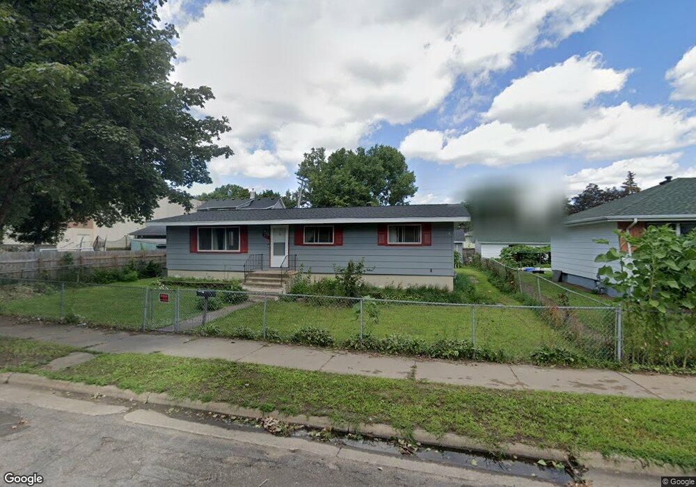
491 Thomas Ave Saint Paul, MN 55103
Frogtown NeighborhoodEstimated Value: $255,000 - $271,143
3
Beds
1
Bath
652
Sq Ft
$402/Sq Ft
Est. Value
About This Home
This home is located at 491 Thomas Ave, Saint Paul, MN 55103 and is currently estimated at $262,286, approximately $402 per square foot. 491 Thomas Ave is a home located in Ramsey County with nearby schools including Jackson Elementary, Hidden River Middle School, and Central Senior High School.
Ownership History
Date
Name
Owned For
Owner Type
Purchase Details
Closed on
Oct 8, 2018
Sold by
Yang Veena and Yang Der
Bought by
Yang Yeng and Lor Ka
Current Estimated Value
Home Financials for this Owner
Home Financials are based on the most recent Mortgage that was taken out on this home.
Original Mortgage
$166,106
Outstanding Balance
$145,163
Interest Rate
4.6%
Mortgage Type
FHA
Estimated Equity
$117,123
Purchase Details
Closed on
Jun 10, 2016
Sold by
Thao Mee and Vang Nhia Kao
Bought by
Yang Yeng and Yang Der
Home Financials for this Owner
Home Financials are based on the most recent Mortgage that was taken out on this home.
Original Mortgage
$164,733
Interest Rate
3.61%
Mortgage Type
FHA
Purchase Details
Closed on
Aug 31, 2006
Sold by
Yang Wameng and Vang Tong
Bought by
Thao Mee and Vang Nhia Kao
Purchase Details
Closed on
Jan 29, 1996
Sold by
Vang Yee
Bought by
Yang Wameng
Create a Home Valuation Report for This Property
The Home Valuation Report is an in-depth analysis detailing your home's value as well as a comparison with similar homes in the area
Home Values in the Area
Average Home Value in this Area
Purchase History
| Date | Buyer | Sale Price | Title Company |
|---|---|---|---|
| Yang Yeng | -- | Titlesmart Inc | |
| Yang Yeng | $168,000 | Executive Title Services Inc | |
| Thao Mee | $160,000 | -- | |
| Yang Wameng | $65,000 | -- |
Source: Public Records
Mortgage History
| Date | Status | Borrower | Loan Amount |
|---|---|---|---|
| Open | Yang Yeng | $166,106 | |
| Previous Owner | Yang Yeng | $164,733 |
Source: Public Records
Tax History Compared to Growth
Tax History
| Year | Tax Paid | Tax Assessment Tax Assessment Total Assessment is a certain percentage of the fair market value that is determined by local assessors to be the total taxable value of land and additions on the property. | Land | Improvement |
|---|---|---|---|---|
| 2025 | $4,166 | $276,400 | $25,000 | $251,400 |
| 2023 | $4,166 | $276,600 | $20,000 | $256,600 |
| 2022 | $3,836 | $251,200 | $20,000 | $231,200 |
| 2021 | $3,052 | $234,600 | $20,000 | $214,600 |
| 2020 | $3,238 | $208,900 | $15,300 | $193,600 |
| 2019 | $2,720 | $206,700 | $15,300 | $191,400 |
| 2018 | $1,912 | $175,600 | $15,300 | $160,300 |
| 2017 | $1,270 | $135,100 | $15,300 | $119,800 |
| 2016 | $1,090 | $0 | $0 | $0 |
| 2015 | $1,340 | $89,700 | $15,300 | $74,400 |
| 2014 | $1,662 | $0 | $0 | $0 |
Source: Public Records
Map
Nearby Homes
- 481 Edmund Ave
- 465 Edmund Ave
- 482 Edmund Ave
- 534 Thomas Ave
- 547 Blair Ave
- 553 Charles Ave
- 553 Blair Ave
- 538 Charles Ave
- 511 Van Buren Ave
- 566 Edmund Ave
- 395 Thomas Ave
- 601 Western Ave N
- 429 Sherburne Ave
- 644 Dale St N
- 594 Charles Ave
- 597 Virginia St
- 627 Virginia St
- 610 Charles Ave
- 371 Sherburne Ave
- 632 Blair Ave
- 481 Thomas Ave
- 614 MacKubin St
- 477 Thomas Ave
- 488 Lafond Ave
- 494 Lafond Ave
- 482 Lafond Ave
- 490 Thomas Ave
- 494 Thomas Ave
- 486 Thomas Ave
- 469 Thomas Ave
- 496 Thomas Ave
- 482 Thomas Ave
- 472 Lafond Ave
- 478 Thomas Ave
- 474 Thomas Ave
- 463 Thomas Ave
- 468 Lafond Ave
- 466 Thomas Ave W
- 506 Thomas Ave
- 468 Thomas Ave