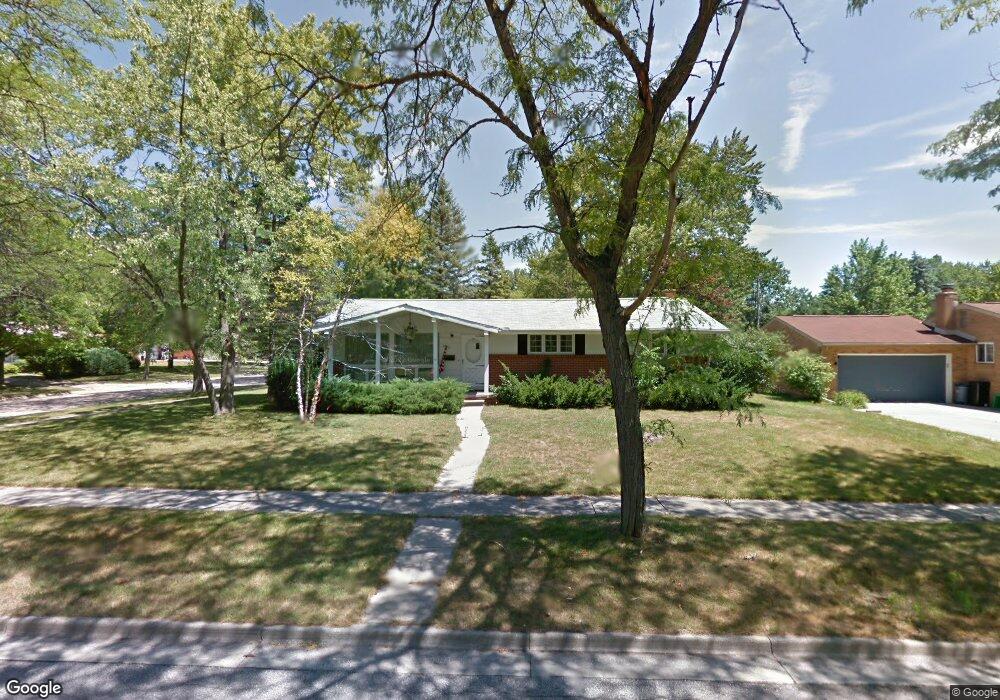
4910 Harding St Midland, MI 48642
Estimated Value: $247,308 - $277,000
--
Bed
1
Bath
1,714
Sq Ft
$153/Sq Ft
Est. Value
About This Home
This home is located at 4910 Harding St, Midland, MI 48642 and is currently estimated at $263,077, approximately $153 per square foot. 4910 Harding St is a home located in Midland County with nearby schools including Adams Elementary School, Jefferson Middle School, and H.H. Dow High School.
Ownership History
Date
Name
Owned For
Owner Type
Purchase Details
Closed on
Aug 6, 2020
Sold by
Harvey Brian and Harvey Jamie
Bought by
Wiese Kelley S
Current Estimated Value
Home Financials for this Owner
Home Financials are based on the most recent Mortgage that was taken out on this home.
Original Mortgage
$170,000
Outstanding Balance
$150,802
Interest Rate
3%
Mortgage Type
New Conventional
Estimated Equity
$112,275
Purchase Details
Closed on
Oct 29, 2013
Sold by
Douglas Lawrence Douglas Lawrence
Bought by
Harvey Brian and Harvey Jamie
Create a Home Valuation Report for This Property
The Home Valuation Report is an in-depth analysis detailing your home's value as well as a comparison with similar homes in the area
Home Values in the Area
Average Home Value in this Area
Purchase History
| Date | Buyer | Sale Price | Title Company |
|---|---|---|---|
| Wiese Kelley S | $183,000 | None Available | |
| Harvey Brian | $85,000 | -- |
Source: Public Records
Mortgage History
| Date | Status | Borrower | Loan Amount |
|---|---|---|---|
| Open | Wiese Kelley S | $170,000 | |
| Previous Owner | Harvey Brian | $400,000 |
Source: Public Records
Tax History Compared to Growth
Tax History
| Year | Tax Paid | Tax Assessment Tax Assessment Total Assessment is a certain percentage of the fair market value that is determined by local assessors to be the total taxable value of land and additions on the property. | Land | Improvement |
|---|---|---|---|---|
| 2025 | $3,462 | $110,500 | $0 | $0 |
| 2024 | $2,691 | $101,700 | $0 | $0 |
| 2023 | $2,565 | $92,900 | $0 | $0 |
| 2022 | $3,149 | $78,800 | $0 | $0 |
| 2021 | $3,036 | $74,700 | $0 | $0 |
| 2020 | $2,962 | $68,600 | $0 | $0 |
| 2019 | $3,367 | $59,000 | $15,000 | $44,000 |
| 2018 | $3,276 | $73,900 | $15,000 | $58,900 |
| 2017 | $0 | $56,500 | $15,000 | $41,500 |
| 2016 | $3,156 | $56,700 | $15,000 | $41,700 |
| 2012 | -- | $67,600 | $15,000 | $52,600 |
Source: Public Records
Map
Nearby Homes
- 4808 Washington St
- 704 E Meadowbrook Dr
- 107 Buchanan Dr
- 605 Chatham Dr
- 205 E Meadowbrook Dr
- 4712 Jefferson Ave
- 1107 Whispering Oak Dr
- 315 E Chapel Ln
- 708 Chapel Lane Cir
- 108 W Chapel Ln
- 313 W Chapel Ln
- 310 E Sugnet Rd
- 1101 Timber Dr
- 705 Shorefront Cir
- 001 E Monroe Rd
- 5019 Cortland Ct
- 1120 E Sugnet Rd
- 701 W Meadowbrook Dr
- 3710 Cambridge St
- 1315 Timber Dr
- 4910 Harding St
- 4906 Harding St
- 604 Buchanan Dr
- 601 Buchanan Dr
- 4900 Harding St
- 513 Buchanan Dr
- 603 Wilson Dr
- 4911 Harding St
- 609 Buchanan Dr
- 4907 Harding St
- 608 Buchanan Dr
- 509 Buchanan Dr
- 4901 Harding St
- 607 Wilson Dr
- 602 Capitol Dr
- 505 Buchanan Dr
- 701 Buchanan Dr
- 608 Capitol Dr
- 4806 Harding St
- 612 Buchanan Dr