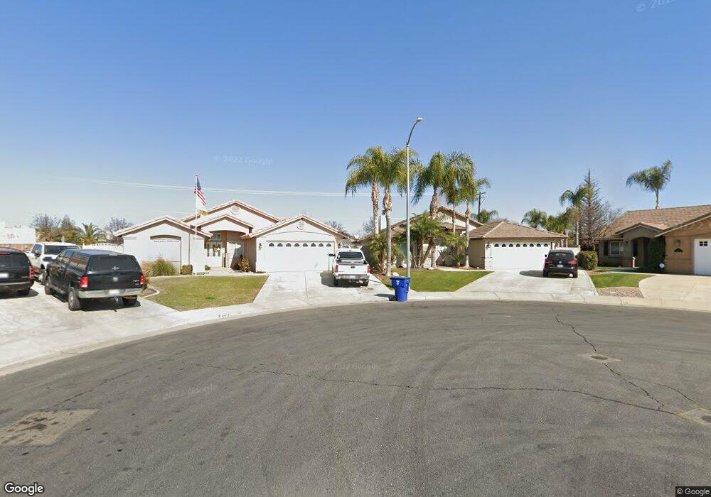
4912 Rushmore Dr Bakersfield, CA 93312
Emerald Estates NeighborhoodEstimated Value: $431,000 - $455,000
4
Beds
3
Baths
2,233
Sq Ft
$200/Sq Ft
Est. Value
About This Home
This home is located at 4912 Rushmore Dr, Bakersfield, CA 93312 and is currently estimated at $447,392, approximately $200 per square foot. 4912 Rushmore Dr is a home located in Kern County with nearby schools including Patriot Elementary School, Freedom Middle School, and Frontier High School.
Ownership History
Date
Name
Owned For
Owner Type
Purchase Details
Closed on
Jun 5, 2002
Sold by
Mahan Homes Inc
Bought by
Zamodio Marisol
Current Estimated Value
Home Financials for this Owner
Home Financials are based on the most recent Mortgage that was taken out on this home.
Original Mortgage
$50,000
Interest Rate
7.5%
Create a Home Valuation Report for This Property
The Home Valuation Report is an in-depth analysis detailing your home's value as well as a comparison with similar homes in the area
Home Values in the Area
Average Home Value in this Area
Purchase History
| Date | Buyer | Sale Price | Title Company |
|---|---|---|---|
| Zamodio Marisol | $166,000 | Fidelity Title |
Source: Public Records
Mortgage History
| Date | Status | Borrower | Loan Amount |
|---|---|---|---|
| Previous Owner | Zamodio Marisol | $50,000 |
Source: Public Records
Tax History
| Year | Tax Paid | Tax Assessment Tax Assessment Total Assessment is a certain percentage of the fair market value that is determined by local assessors to be the total taxable value of land and additions on the property. | Land | Improvement |
|---|---|---|---|---|
| 2025 | $3,805 | $224,468 | $36,196 | $188,272 |
| 2024 | $3,719 | $220,068 | $35,487 | $184,581 |
| 2023 | $3,719 | $215,754 | $34,792 | $180,962 |
| 2022 | $3,642 | $211,524 | $34,110 | $177,414 |
| 2021 | $3,513 | $207,378 | $33,442 | $173,936 |
| 2020 | $3,485 | $205,253 | $33,100 | $172,153 |
| 2019 | $3,360 | $205,253 | $33,100 | $172,153 |
| 2018 | $3,318 | $197,284 | $31,815 | $165,469 |
| 2017 | $3,269 | $193,417 | $31,192 | $162,225 |
| 2016 | $3,104 | $189,626 | $30,581 | $159,045 |
| 2015 | $3,060 | $186,778 | $30,122 | $156,656 |
| 2014 | $2,992 | $183,120 | $29,532 | $153,588 |
Source: Public Records
Map
Nearby Homes
- 4813 Smokey Mountain Way
- 12614 Grand Teton Dr
- 5310 Sweitzer Lake St Unit 3
- 5415 Cherry Creek Ln
- 12211 Flat Iron Ct
- 12309 Childress St
- 0 Rosedale Unit 202511650
- 13212 Jackson Lake Dr Unit 3
- 13404 Cheyenne Mountain Dr
- 12420 Paddock Place
- 55 Allen Rd
- 13421 Cheyenne Mountain Dr
- 12709 Montbatten Place
- 11613 Presidential Rd
- 11703 Revolution Rd
- 11708 Valley Forge Way
- 11919 Hannah Denise Ave
- 4303 Bareback Ln
- 11604 Revolution Rd
- 12809 Trafalgar Square Dr
- 4908 Rushmore Dr
- 4917 Rushmore Dr
- 4904 Rushmore Dr
- 4919 Smokey Mountain Way
- 4915 Smokey Mountain Way
- 4911 Smokey Mountain Way
- 4913 Rushmore Dr
- 4907 Smokey Mountain Way
- 12511 Lanai Ave
- 12601 Lanai Ave
- 4905 Rushmore Dr
- 12507 Lanai Ave
- 4818 Rushmore Dr
- 12605 Lanai Ave
- 4903 Smokey Mountain Way
- 4901 Rushmore Dr
- 12503 Lanai Ave
- 4814 Rushmore Dr
- 12609 Lanai Ave
- 4819 Rushmore Dr
Your Personal Tour Guide
Ask me questions while you tour the home.