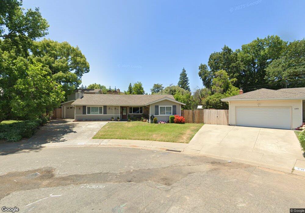
4913 Cronin Ct Fair Oaks, CA 95628
Estimated Value: $499,000 - $946,000
5
Beds
3
Baths
3,378
Sq Ft
$215/Sq Ft
Est. Value
About This Home
This home is located at 4913 Cronin Ct, Fair Oaks, CA 95628 and is currently estimated at $725,302, approximately $214 per square foot. 4913 Cronin Ct is a home located in Sacramento County with nearby schools including Earl Legette Elementary School, Andrew Carnegie Middle School, and Bella Vista High School.
Ownership History
Date
Name
Owned For
Owner Type
Purchase Details
Closed on
Oct 9, 1997
Sold by
Miller Barbara E
Bought by
Benton Thomas and Benton Kimberly
Current Estimated Value
Home Financials for this Owner
Home Financials are based on the most recent Mortgage that was taken out on this home.
Original Mortgage
$140,100
Outstanding Balance
$22,588
Interest Rate
7.49%
Estimated Equity
$702,714
Create a Home Valuation Report for This Property
The Home Valuation Report is an in-depth analysis detailing your home's value as well as a comparison with similar homes in the area
Home Values in the Area
Average Home Value in this Area
Purchase History
| Date | Buyer | Sale Price | Title Company |
|---|---|---|---|
| Benton Thomas | $147,500 | Sacramento Title Company |
Source: Public Records
Mortgage History
| Date | Status | Borrower | Loan Amount |
|---|---|---|---|
| Open | Benton Thomas | $140,100 |
Source: Public Records
Tax History Compared to Growth
Tax History
| Year | Tax Paid | Tax Assessment Tax Assessment Total Assessment is a certain percentage of the fair market value that is determined by local assessors to be the total taxable value of land and additions on the property. | Land | Improvement |
|---|---|---|---|---|
| 2025 | $2,788 | $235,492 | $103,774 | $131,718 |
| 2024 | $2,788 | $230,876 | $101,740 | $129,136 |
| 2023 | $2,705 | $226,350 | $99,746 | $126,604 |
| 2022 | $2,693 | $221,913 | $97,791 | $124,122 |
| 2021 | $2,653 | $217,563 | $95,874 | $121,689 |
| 2020 | $2,614 | $215,333 | $94,891 | $120,442 |
| 2019 | $2,546 | $211,112 | $93,031 | $118,081 |
| 2018 | $2,488 | $206,973 | $91,207 | $115,766 |
| 2017 | $2,461 | $202,916 | $89,419 | $113,497 |
| 2016 | $2,299 | $198,938 | $87,666 | $111,272 |
| 2015 | $2,259 | $195,951 | $86,350 | $109,601 |
| 2014 | $2,210 | $192,114 | $84,659 | $107,455 |
Source: Public Records
Map
Nearby Homes
- 4820 Sanford St
- 8801 Villa Campo Way
- 0 Illinois Ave Unit 225121990
- 8879 Sunset Ave
- 5210 Nugget Rd
- 5302 Illinois Ave
- 8676 Gunner Way
- 8830 Barrister Ln
- 8593 Sunset Ave
- 8514 Bordeaux Way
- 5340 Nelle Place
- 8909 Ramstad Ave
- 5221 Tucson Cir
- 5112 Rabeneck Way
- 8654 Fairmont Way
- 4824 Skyway Dr
- 8890 N Winding Way
- 8954 Phoenix Ave
- 5312 Cabodi Ct
- 8909 La Serena Dr
- 4915 Cronin Ct
- 4911 Cronin Ct
- 8747 Shelborn Ct
- 8748 Shelborn Ct
- 8730 Palmias Ct
- 4917 Cronin Ct
- 4909 Kenroy Way
- 8736 Palmias Ct
- 4907 Kenroy Way
- 4921 Cronin Ct
- 4919 Cronin Ct
- 8739 Shelborn Ct
- 8742 Shelborn Ct
- 8724 Palmias Ct
- 5000 Havelok St
- 8742 Palmias Ct
- 4905 Kenroy Way
- 4925 Kenroy Way
- 8754 Ingrid Way
- 5010 Havelok St