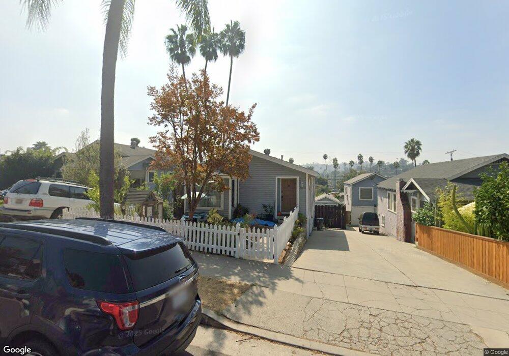
4918 Range View Ave Los Angeles, CA 90042
Highland Park NeighborhoodEstimated Value: $988,000 - $1,279,000
About This Home
This home is located at 4918 Range View Ave, Los Angeles, CA 90042 and is currently estimated at $1,185,604, approximately $923 per square foot. 4918 Range View Ave is a home located in Los Angeles County with nearby schools including Buchanan Street Elementary and Franklin Middle School & High School.
Ownership History
We collect this data history from publicly available records. To have your information removed, we recommend requesting removal directly through your county’s website.
Purchase Details
Home Financials for this Owner
Home Financials are based on the most recent Mortgage that was taken out on this home.Home Values in the Area
Average Home Value in this Area
Purchase History
We collect this data history from publicly available records. To have your information removed, we recommend requesting removal directly through your county’s website.
| Date | Buyer | Sale Price | Title Company |
|---|---|---|---|
| $434,000 | Equity Title Company |
Mortgage History
We collect this data history from publicly available records. To have your information removed, we recommend requesting removal directly through your county’s website.
| Date | Status | Borrower | Loan Amount |
|---|---|---|---|
| Open | $426,382 |
Tax History
We collect this data history from publicly available records. To have your information removed, we recommend requesting removal directly through your county’s website.
| Year | Tax Paid | Tax Assessment Tax Assessment Total Assessment is a certain percentage of the fair market value that is determined by local assessors to be the total taxable value of land and additions on the property. | Land | Improvement |
|---|---|---|---|---|
| 2025 | $6,888 | $556,019 | $416,378 | $139,641 |
| 2024 | $6,791 | $545,117 | $408,214 | $136,903 |
| 2023 | $6,661 | $534,429 | $400,210 | $134,219 |
| 2022 | $6,353 | $523,951 | $392,363 | $131,588 |
| 2021 | $6,273 | $513,678 | $384,670 | $129,008 |
| 2019 | $6,086 | $498,444 | $373,261 | $125,183 |
| 2018 | $5,996 | $488,672 | $365,943 | $122,729 |
| 2016 | $5,726 | $469,698 | $351,734 | $117,964 |
| 2015 | $5,643 | $462,644 | $346,451 | $116,193 |
| 2014 | $5,666 | $453,582 | $339,665 | $113,917 |
Map
- 5015 Almaden Dr
- 1361 Armadale Ave
- 1045 Farnam St
- 1048 Dexter St
- 4666 York Blvd
- 1856 N Avenue 52
- 1036 N Avenue 50
- 5144 Buchanan St
- 5116 Baltimore St
- 4780 Hub St
- 1842 Phillips Way
- 1012 Dexter St
- 1004 Dexter St
- 1533 N Avenue 46
- 5240 Barker Dr
- 5218 Barker Dr
- 5118 Hub St
- 1942 Phillips Way
- 1938 Phillips Way
- 4558 Paulhan Ave
- 4917 Stratford Rd
- 4923 Stratford Rd
- 4913 Stratford Rd
- 4921 Stratford Rd
- 4909 Stratford Rd
- 4925 Stratford Rd
- 4929 Stratford Rd
- 4905 Stratford Rd
- 4914 4914 1/2 Range View Ave
- 4922 Range View Ave
- 4914 Range View Ave
- 1508 North Avenue 49
- 4926 Range View Ave
- 4910 Range View Ave
- 4933 Stratford Rd
- 4901 Stratford Rd
- 1512 North Avenue 49
- 4930 Range View Ave
- 1522 North Avenue 49
- 4916 Stratford Rd
Ask me questions while you tour the home.