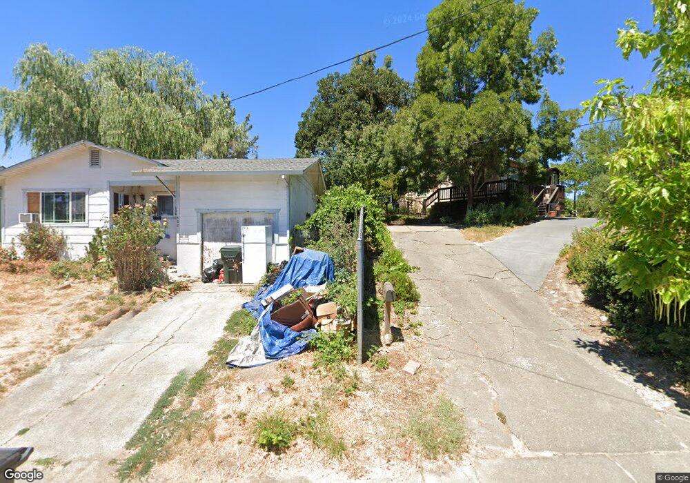
492 Coast St Willits, CA 95490
Estimated Value: $254,000 - $323,000
2
Beds
1
Bath
914
Sq Ft
$321/Sq Ft
Est. Value
About This Home
This home is located at 492 Coast St, Willits, CA 95490 and is currently estimated at $293,333, approximately $320 per square foot. 492 Coast St is a home located in Mendocino County with nearby schools including Blosser Lane Elementary School, Brookside Elementary School, and Baechtel Grove Middle School.
Ownership History
Date
Name
Owned For
Owner Type
Purchase Details
Closed on
Apr 24, 2007
Sold by
Edwards Anita R
Bought by
Edwards Anita R
Current Estimated Value
Home Financials for this Owner
Home Financials are based on the most recent Mortgage that was taken out on this home.
Original Mortgage
$506,250
Outstanding Balance
$302,372
Interest Rate
5.93%
Mortgage Type
Reverse Mortgage Home Equity Conversion Mortgage
Estimated Equity
-$9,039
Purchase Details
Closed on
May 9, 2003
Sold by
Edwards Anita
Bought by
Edwards Anita R
Purchase Details
Closed on
Jun 22, 2001
Sold by
Schmid Mark
Bought by
Edwards Anita
Create a Home Valuation Report for This Property
The Home Valuation Report is an in-depth analysis detailing your home's value as well as a comparison with similar homes in the area
Home Values in the Area
Average Home Value in this Area
Purchase History
| Date | Buyer | Sale Price | Title Company |
|---|---|---|---|
| Edwards Anita R | -- | First American Title Co | |
| Edwards Anita R | -- | -- | |
| Edwards Anita | $60,000 | -- |
Source: Public Records
Mortgage History
| Date | Status | Borrower | Loan Amount |
|---|---|---|---|
| Open | Edwards Anita R | $506,250 |
Source: Public Records
Tax History
| Year | Tax Paid | Tax Assessment Tax Assessment Total Assessment is a certain percentage of the fair market value that is determined by local assessors to be the total taxable value of land and additions on the property. | Land | Improvement |
|---|---|---|---|---|
| 2025 | $2,099 | $90,378 | $52,724 | $37,654 |
| 2023 | $2,099 | $86,871 | $50,678 | $36,193 |
| 2022 | $1,924 | $85,169 | $49,685 | $35,484 |
| 2021 | $1,916 | $83,500 | $48,711 | $34,789 |
| 2020 | $1,893 | $82,666 | $48,222 | $34,444 |
| 2019 | $1,891 | $81,045 | $47,276 | $33,769 |
| 2018 | $1,740 | $79,456 | $46,349 | $33,107 |
| 2017 | $1,666 | $77,899 | $45,441 | $32,458 |
| 2016 | $1,607 | $76,372 | $44,550 | $31,822 |
| 2015 | $1,592 | $75,225 | $43,881 | $31,344 |
| 2014 | $1,581 | $73,752 | $43,022 | $30,730 |
Source: Public Records
Map
Nearby Homes
- 308 Coast St
- 316 S Main St
- 80 Fort Bragg Rd
- 0 Catherine Ln
- 84 School St
- 755 Central Ave
- 372 S Lenore Ave
- 36 Hillside Dr
- 350 Creekside Dr
- 0 Poplar Ave Unit 324037613
- 611 Hawthorne Ln
- 1242 Poplar Ave
- 454 Della Ave
- 21552 Eva Clair St
- 490 Della Ave
- 21441 Pineview Dr
- 26600 Sherwood Rd
- 25331 Sherwood Rd
- 25201 Sherwood Rd
- 1407 Brothers Ln
Your Personal Tour Guide
Ask me questions while you tour the home.