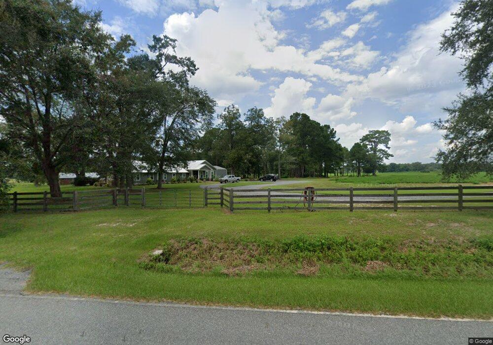
4921 Grooverville Rd Quitman, GA 31643
Estimated Value: $272,000 - $998,046
--
Bed
--
Bath
2,972
Sq Ft
$174/Sq Ft
Est. Value
About This Home
This home is located at 4921 Grooverville Rd, Quitman, GA 31643 and is currently estimated at $516,349, approximately $173 per square foot. 4921 Grooverville Rd is a home with nearby schools including Quitman Elementary School and Westbrook School.
Ownership History
Date
Name
Owned For
Owner Type
Purchase Details
Closed on
Oct 23, 2015
Sold by
Campagna James H
Bought by
Campagna Harrison Mixson
Current Estimated Value
Purchase Details
Closed on
Jun 1, 2015
Sold by
Campagna Katherine Mixson
Bought by
Campagna James Henry
Purchase Details
Closed on
Apr 22, 2014
Sold by
Campagna Kay Mixson
Bought by
Conservation Use Covenant Recording
Purchase Details
Closed on
Jan 21, 2014
Sold by
Campagna Kay Mixson
Bought by
Everette Mary and Everette James
Purchase Details
Closed on
May 7, 1996
Sold by
Mixon Harry
Bought by
Campagna Kay Mixson
Create a Home Valuation Report for This Property
The Home Valuation Report is an in-depth analysis detailing your home's value as well as a comparison with similar homes in the area
Home Values in the Area
Average Home Value in this Area
Purchase History
| Date | Buyer | Sale Price | Title Company |
|---|---|---|---|
| Campagna Harrison Mixson | -- | -- | |
| Campagna James Henry | -- | -- | |
| Conservation Use Covenant Recording | -- | -- | |
| Everette Mary | -- | -- | |
| Campagna Kay Mixson | -- | -- |
Source: Public Records
Tax History Compared to Growth
Tax History
| Year | Tax Paid | Tax Assessment Tax Assessment Total Assessment is a certain percentage of the fair market value that is determined by local assessors to be the total taxable value of land and additions on the property. | Land | Improvement |
|---|---|---|---|---|
| 2024 | $4,863 | $300,880 | $177,800 | $123,080 |
| 2023 | $4,772 | $261,640 | $154,600 | $107,040 |
| 2022 | $3,924 | $229,760 | $147,240 | $82,520 |
| 2021 | $2,591 | $155,880 | $117,360 | $38,520 |
| 2020 | $4,341 | $156,320 | $117,360 | $38,960 |
| 2019 | $2,449 | $140,000 | $102,560 | $37,440 |
| 2018 | $3,907 | $133,760 | $106,400 | $27,360 |
| 2017 | $2,038 | $132,560 | $106,400 | $26,160 |
| 2016 | $2,095 | $133,040 | $106,400 | $26,640 |
| 2015 | -- | $127,140 | $101,600 | $25,540 |
| 2014 | -- | $128,140 | $101,600 | $26,540 |
| 2013 | -- | $134,660 | $105,840 | $28,820 |
Source: Public Records
Map
Nearby Homes
- 8820 Grooverville Rd
- 2156 County Road 78
- 5199 U S 84
- 0000 Hamlin Rd
- 1540 Dunn Rd
- 5036 Hamlin Rd
- 7747 Empress Rd
- 2434 Dunn Rd
- 309 Eastlake Dr
- 1103 W Railroad St
- 5616 Empress Rd
- 802 W Lafayette St
- 602 N Webster St
- 2818 Dry Lake Rd
- 304 W Rountree St
- 606 N Court St
- 503 N Culpepper St
- 621 N Court St
- 000 E Gordon St
- 1002 N Madison St
- 1693 Grooverville Rd
- 00 Grooverville Rd
- 2.92ac Grooverville Rd
- 2.92ac Grooverville Rd
- 7.3 ac Grooverville Rd
- RT. 4 Grooverville Rd
- 5007 Grooverville Rd
- 1282 Johnson Rd
- 5205 Grooverville Rd
- 4424 Grooverville Rd
- 1190 Johnson Rd
- 5314 Grooverville Rd
- 4929 Grooverville Rd
- 100 Maxwell Dr
- 5425 Grooverville Rd
- 5461 Hickory Head Rd
- 4291 Grooverville Rd
- 4252 Grooverville Rd
- 5468 Grooverville Rd
- 7 Maxwell Dr