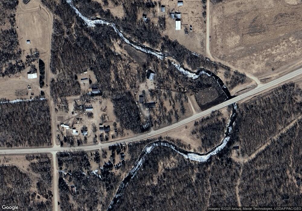
4922 State Highway 11 Karlstad, MN 56732
Estimated Value: $170,965 - $191,000
2
Beds
--
Bath
1,344
Sq Ft
$133/Sq Ft
Est. Value
About This Home
This home is located at 4922 State Highway 11, Karlstad, MN 56732 and is currently estimated at $178,988, approximately $133 per square foot. 4922 State Highway 11 is a home located in Kittson County with nearby schools including Karlstad Elementary School and Tri-County Secondary School.
Create a Home Valuation Report for This Property
The Home Valuation Report is an in-depth analysis detailing your home's value as well as a comparison with similar homes in the area
Home Values in the Area
Average Home Value in this Area
Tax History Compared to Growth
Tax History
| Year | Tax Paid | Tax Assessment Tax Assessment Total Assessment is a certain percentage of the fair market value that is determined by local assessors to be the total taxable value of land and additions on the property. | Land | Improvement |
|---|---|---|---|---|
| 2024 | $1,198 | $154,700 | $0 | $0 |
| 2023 | $18 | $163,600 | $0 | $0 |
| 2022 | $1,812 | $163,600 | $0 | $0 |
| 2021 | $1,626 | $145,600 | $0 | $0 |
| 2020 | $1,716 | $145,600 | $0 | $0 |
| 2019 | $496 | $145,600 | $5,600 | $140,000 |
| 2018 | $1,288 | $127,400 | $5,600 | $121,800 |
| 2017 | $1,352 | $127,400 | $5,600 | $121,800 |
| 2016 | $1,414 | $127,400 | $5,600 | $121,800 |
| 2015 | $581 | $0 | $0 | $0 |
| 2014 | $553 | $0 | $0 | $0 |
Source: Public Records
Map
Nearby Homes
- 102 Colony Dr S
- 504 Main St
- 803 Main St S
- 19749 190th Ave
- 213 Iowa Ave
- 921 Old Ridge Rd
- TBD State Highway 11
- 546 6th St S
- 536 Park Ave W
- 337 Main St N
- 561 Main St N
- 424 2nd St N
- 537 2nd St N
- 2499 405th Ave
- 121 S State Ave
- Tbd 380th Ave NW
- TBD 380th St NW
- Tbd 380th St NW
- TBD County Road 114
- 3796 300th St