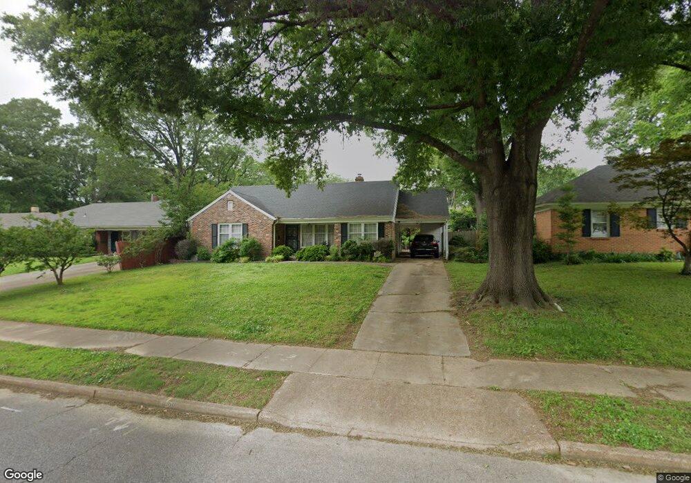
4928 Dee Rd Memphis, TN 38117
Colonial Acres NeighborhoodEstimated Value: $253,639 - $285,000
3
Beds
2
Baths
1,944
Sq Ft
$140/Sq Ft
Est. Value
About This Home
This home is located at 4928 Dee Rd, Memphis, TN 38117 and is currently estimated at $272,410, approximately $140 per square foot. 4928 Dee Rd is a home located in Shelby County with nearby schools including Sea Isle Elementary School, Colonial Middle, and Overton High.
Ownership History
Date
Name
Owned For
Owner Type
Purchase Details
Closed on
Feb 26, 2004
Sold by
The Juanita T Acree Revocable Trust
Bought by
Hanissian Silva H
Current Estimated Value
Home Financials for this Owner
Home Financials are based on the most recent Mortgage that was taken out on this home.
Original Mortgage
$153,289
Interest Rate
5.35%
Mortgage Type
FHA
Purchase Details
Closed on
Feb 11, 1999
Sold by
Thomas Acree Juanita
Bought by
Acree Juanita Thomas and Acree Robert Edwin
Create a Home Valuation Report for This Property
The Home Valuation Report is an in-depth analysis detailing your home's value as well as a comparison with similar homes in the area
Home Values in the Area
Average Home Value in this Area
Purchase History
| Date | Buyer | Sale Price | Title Company |
|---|---|---|---|
| Hanissian Silva H | $154,500 | Realty Title | |
| Acree Juanita Thomas | -- | -- | |
| Acree Juanita Thomas | -- | -- | |
| Acree Juanita Thomas | -- | -- | |
| Acree Juanita Thomas | -- | -- |
Source: Public Records
Mortgage History
| Date | Status | Borrower | Loan Amount |
|---|---|---|---|
| Previous Owner | Hanissian Silva H | $153,289 |
Source: Public Records
Tax History
| Year | Tax Paid | Tax Assessment Tax Assessment Total Assessment is a certain percentage of the fair market value that is determined by local assessors to be the total taxable value of land and additions on the property. | Land | Improvement |
|---|---|---|---|---|
| 2025 | $1,933 | $66,650 | $11,250 | $55,400 |
| 2024 | $1,933 | $57,025 | $9,050 | $47,975 |
| 2023 | $3,474 | $57,025 | $9,050 | $47,975 |
| 2022 | $3,474 | $57,025 | $9,050 | $47,975 |
| 2021 | $3,514 | $57,025 | $9,050 | $47,975 |
| 2020 | $2,918 | $40,275 | $9,050 | $31,225 |
| 2019 | $2,918 | $40,275 | $9,050 | $31,225 |
| 2018 | $2,918 | $40,275 | $9,050 | $31,225 |
| 2017 | $1,655 | $40,275 | $9,050 | $31,225 |
| 2016 | $1,677 | $38,375 | $0 | $0 |
| 2014 | $1,677 | $38,375 | $0 | $0 |
Source: Public Records
Map
Nearby Homes
- 4927 Hampshire Ave
- 4977 Essexshire Ave
- 4908 Mockingbird Ln
- 4944 Mockingbird Ln
- 4949 Welchshire Ave
- 4958 Welchshire Ave
- 5030 Wingdale Rd
- 5037 Dee Rd
- 4856 Kaye Rd
- 4921 Alrose Ave
- 4803 Hummingbird Ln
- 4933 Flamingo Rd
- 5076 Dee Rd
- 5059 Welchshire Ave
- 5010 Kaye Rd
- 1027 Colonial Rd
- 4915 Amboy Rd
- 932 Ivy Rd
- 4780 Amboy Rd
- 5055 Alrose Ave
- 4936 Dee Rd
- 4922 Dee Rd
- 4927 Essexshire Ave
- 4935 Essexshire Ave
- 4942 Dee Rd
- 4914 Dee Rd
- 4919 Essexshire Ave
- 4941 Essexshire Ave
- 4927 Dee Rd
- 4911 Essexshire Ave
- 4950 Dee Rd
- 4911 Dee Rd
- 4937 Dee Rd
- 4906 Dee Rd
- 4949 Essexshire Ave
- 4905 Essexshire Ave
- 4947 Dee Rd
- 4905 Dee Rd
- 4958 Dee Rd
- 4955 Essexshire Ave
Your Personal Tour Guide
Ask me questions while you tour the home.