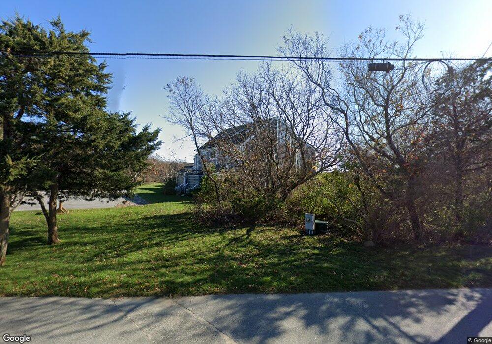
493 Katama Rd Unit E Edgartown, MA 02539
Edgartown NeighborhoodEstimated Value: $1,447,306 - $2,291,000
3
Beds
3
Baths
1,241
Sq Ft
$1,408/Sq Ft
Est. Value
About This Home
This home is located at 493 Katama Rd Unit E, Edgartown, MA 02539 and is currently estimated at $1,746,827, approximately $1,407 per square foot. 493 Katama Rd Unit E is a home located in Dukes County with nearby schools including Edgartown Elementary School and Martha's Vineyard Regional High School.
Ownership History
Date
Name
Owned For
Owner Type
Purchase Details
Closed on
Jun 18, 2025
Sold by
Rubin Robert F and Neis Nancy R
Bought by
Etown Partners Llc
Current Estimated Value
Purchase Details
Closed on
Sep 10, 2019
Sold by
Dubin Richard S
Bought by
Rubin Robert F and Neis Nancy R
Purchase Details
Closed on
Jun 23, 2017
Sold by
Bernstein Michael and Bernstein Sara
Bought by
Fullin Robert F and Neis Nancy R
Purchase Details
Closed on
Dec 21, 2012
Sold by
Kalpan Eugene A and Kalpan Sandra E
Bought by
Bernstein Michael and Bernstein Sara
Create a Home Valuation Report for This Property
The Home Valuation Report is an in-depth analysis detailing your home's value as well as a comparison with similar homes in the area
Home Values in the Area
Average Home Value in this Area
Purchase History
| Date | Buyer | Sale Price | Title Company |
|---|---|---|---|
| Etown Partners Llc | $1,970,000 | -- | |
| Rubin Robert F | -- | -- | |
| Dubin Richard S | -- | -- | |
| Fullin Robert F | $840,000 | -- | |
| Bernstein Michael | $584,000 | -- | |
| Bernstein Michael | $584,000 | -- | |
| Bernstein Michael | $584,000 | -- |
Source: Public Records
Tax History
| Year | Tax Paid | Tax Assessment Tax Assessment Total Assessment is a certain percentage of the fair market value that is determined by local assessors to be the total taxable value of land and additions on the property. | Land | Improvement |
|---|---|---|---|---|
| 2025 | $3,197 | $1,206,600 | $0 | $1,206,600 |
| 2024 | $3,077 | $1,206,600 | $0 | $1,206,600 |
| 2023 | $2,857 | $1,133,900 | $0 | $1,133,900 |
| 2022 | $2,479 | $818,200 | $0 | $818,200 |
| 2021 | $2,684 | $818,200 | $0 | $818,200 |
| 2020 | $2,516 | $750,900 | $0 | $750,900 |
| 2019 | $2,632 | $680,000 | $0 | $680,000 |
| 2018 | $2,257 | $623,300 | $0 | $623,300 |
| 2017 | $2,170 | $611,400 | $0 | $611,400 |
| 2016 | $2,047 | $565,600 | $0 | $565,600 |
| 2015 | $1,963 | $565,600 | $0 | $565,600 |
Source: Public Records
Map
Nearby Homes
- 5 Atlantic Dr Unit 5.2
- 24 Katama Bay View Rd
- 23 Thaxter Ln
- 1 Field Club Dr
- 39 Slough Cove Rd Unit 12.2 (part of)
- 39 Slough Cove Rd
- 7 Martha's Way
- 31 Butlers Cove Rd
- 11A Duarte Cir
- 58 Road To the Plains
- 42 Road To the Plains
- 19 Kitts Field Cir
- 48 Turkeyland Cove Rd
- 72 Chappaquiddick Ave
- 9 Maqua Way
- 9 Maqua Way Unit 107.13
- 114 Meeting House Way
- 114 Meeting House Way
- 0 Pocha Rd
- 76 Washque Ave
- 493 Katama Rd Unit C
- 493 Katama Rd Unit F
- 493 Katama Rd Unit D
- 493 Katama Rd Unit B
- 493 Katama Rd Unit A
- 493 Katama Rd
- 493 Katama Rd Unit E-1
- 491 Katama Rd Unit A
- 491 Katama Rd Unit F
- 491 Katama Rd Unit E
- 491 Katama Rd Unit D
- 491 Katama Rd Unit C
- 491 Katama Rd Unit B
- 491 Katama Rd Unit D2
- 491 Katama Rd Unit D6
- 491 Katama Rd Unit D5
- 491 Katama Rd
- 495 Katama Rd Unit H
- 495 Katama Rd Unit G
- 495 Katama Rd Unit F
Your Personal Tour Guide
Ask me questions while you tour the home.