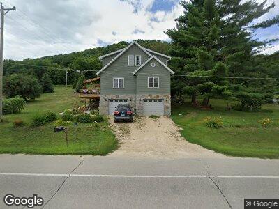
493 Railroad Ave SW New Albin, IA 52160
Estimated Value: $202,000 - $434,000
--
Bed
--
Bath
2,963
Sq Ft
$102/Sq Ft
Est. Value
About This Home
This home is located at 493 Railroad Ave SW, New Albin, IA 52160 and is currently estimated at $301,000, approximately $101 per square foot. 493 Railroad Ave SW is a home located in Allamakee County with nearby schools including New Albin Elementary School, Lansing Middle School, and Kee High School.
Ownership History
Date
Name
Owned For
Owner Type
Purchase Details
Closed on
Aug 2, 2008
Sold by
Thimmesch John and Thimmesch Harold
Bought by
Herbst Christopher A
Current Estimated Value
Home Financials for this Owner
Home Financials are based on the most recent Mortgage that was taken out on this home.
Original Mortgage
$40,000
Interest Rate
6.39%
Mortgage Type
New Conventional
Create a Home Valuation Report for This Property
The Home Valuation Report is an in-depth analysis detailing your home's value as well as a comparison with similar homes in the area
Home Values in the Area
Average Home Value in this Area
Purchase History
| Date | Buyer | Sale Price | Title Company |
|---|---|---|---|
| Herbst Christopher A | $42,500 | None Available |
Source: Public Records
Mortgage History
| Date | Status | Borrower | Loan Amount |
|---|---|---|---|
| Open | Herbst Christopher A | $60,000 | |
| Closed | Herbst Christopher A | $40,000 | |
| Closed | Herbst Christopher A | $138,000 | |
| Closed | Herbst Christopher A | $60,000 | |
| Closed | Herbst Christopher A | $10,000 | |
| Closed | Herbst Christopher A | $50,000 | |
| Closed | Herbst Christopher A | $40,000 |
Source: Public Records
Tax History Compared to Growth
Tax History
| Year | Tax Paid | Tax Assessment Tax Assessment Total Assessment is a certain percentage of the fair market value that is determined by local assessors to be the total taxable value of land and additions on the property. | Land | Improvement |
|---|---|---|---|---|
| 2024 | $3,018 | $261,400 | $34,200 | $227,200 |
| 2023 | $3,018 | $261,400 | $34,200 | $227,200 |
| 2022 | $2,308 | $185,800 | $16,800 | $169,000 |
| 2021 | $2,434 | $178,700 | $16,800 | $161,900 |
| 2020 | $2,434 | $178,800 | $15,300 | $163,500 |
| 2019 | $2,254 | $163,600 | $0 | $0 |
| 2018 | $592 | $43,700 | $0 | $0 |
| 2017 | $592 | $39,600 | $0 | $0 |
| 2016 | $514 | $39,600 | $0 | $0 |
| 2015 | $514 | $39,600 | $0 | $0 |
| 2014 | $500 | $39,600 | $0 | $0 |
Source: Public Records
Map
Nearby Homes
- 461 Railroad Ave SW
- 354 1st St SE
- 205 1st St NE
- 174 Main St NE
- 271 Main St NW
- 0 Cemetery Rd
- 1667 Singing Bird Ln
- S6698A Washington St
- S6820 Terhune St
- S7248 Bluff Rd
- E884 Stevens Rd
- E1202 Stevens Rd
- E1223 S Bad Axe Rd
- S4936 Mundsack Rd
- 1767 Views End Ln
- lot 7 American Heritage Rd
- 14.2 Acres Will Kumlin Rd
- 115 American Heritage
- 1742 Point Vista Ln
- 712 Water St