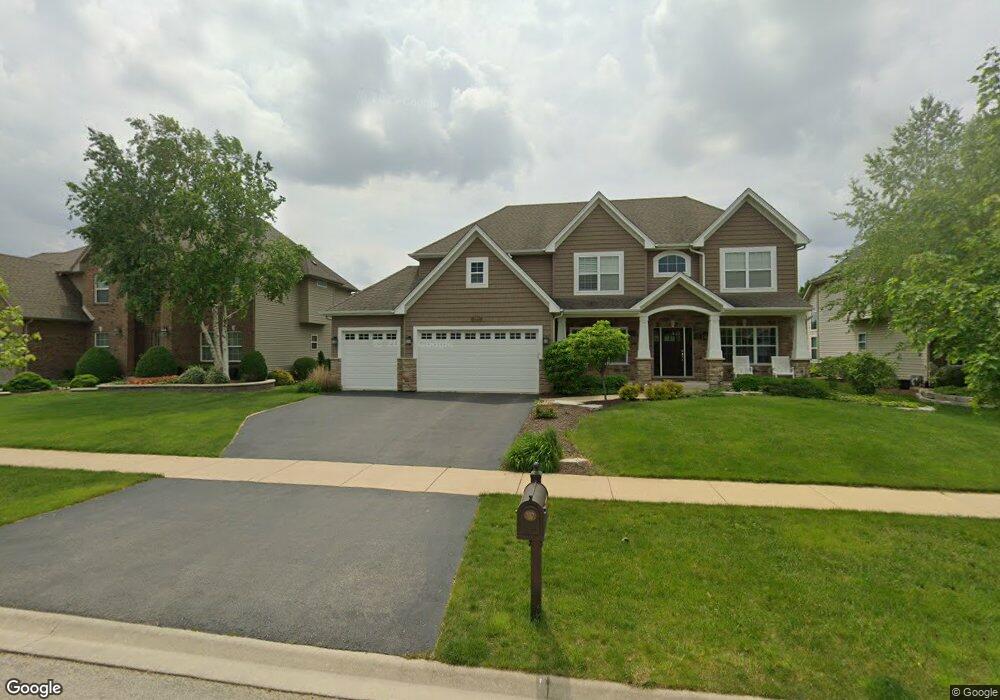
494 Bloomfield Cir W Oswego, IL 60543
South Oswego NeighborhoodEstimated Value: $580,000 - $657,000
4
Beds
3
Baths
2,980
Sq Ft
$203/Sq Ft
Est. Value
About This Home
This home is located at 494 Bloomfield Cir W, Oswego, IL 60543 and is currently estimated at $604,544, approximately $202 per square foot. 494 Bloomfield Cir W is a home with nearby schools including Southbury Elementary School, Traughber Junior High School, and Oswego High School.
Ownership History
Date
Name
Owned For
Owner Type
Purchase Details
Closed on
Jul 30, 2014
Sold by
Mccue Builders Inc
Bought by
Wiertel Jason M and Wiertel Sarah J
Current Estimated Value
Home Financials for this Owner
Home Financials are based on the most recent Mortgage that was taken out on this home.
Original Mortgage
$342,000
Outstanding Balance
$266,402
Interest Rate
4.7%
Mortgage Type
New Conventional
Estimated Equity
$338,142
Purchase Details
Closed on
Oct 25, 2010
Sold by
Tlcb Llc
Bought by
Mccue Builders Inc
Create a Home Valuation Report for This Property
The Home Valuation Report is an in-depth analysis detailing your home's value as well as a comparison with similar homes in the area
Home Values in the Area
Average Home Value in this Area
Purchase History
| Date | Buyer | Sale Price | Title Company |
|---|---|---|---|
| Wiertel Jason M | $360,000 | Wheatland Title Guaranty | |
| Mccue Builders Inc | $420,000 | None Available |
Source: Public Records
Mortgage History
| Date | Status | Borrower | Loan Amount |
|---|---|---|---|
| Open | Wiertel Jason M | $342,000 |
Source: Public Records
Tax History
| Year | Tax Paid | Tax Assessment Tax Assessment Total Assessment is a certain percentage of the fair market value that is determined by local assessors to be the total taxable value of land and additions on the property. | Land | Improvement |
|---|---|---|---|---|
| 2024 | $13,318 | $171,502 | $30,192 | $141,310 |
| 2023 | $12,497 | $154,506 | $27,200 | $127,306 |
| 2022 | $12,497 | $144,399 | $25,421 | $118,978 |
| 2021 | $12,066 | $134,952 | $23,758 | $111,194 |
| 2020 | $11,463 | $127,313 | $22,413 | $104,900 |
| 2019 | $11,446 | $125,246 | $22,413 | $102,833 |
| 2018 | $11,447 | $120,267 | $21,522 | $98,745 |
| 2017 | $11,472 | $117,909 | $21,100 | $96,809 |
| 2016 | $11,758 | $119,047 | $27,095 | $91,952 |
| 2015 | $11,370 | $110,229 | $25,088 | $85,141 |
| 2014 | -- | $16 | $16 | $0 |
| 2013 | -- | $16 | $16 | $0 |
Source: Public Records
Map
Nearby Homes
- 200 Redding Ct
- 94 Templeton Dr
- 204 Dorset Ave
- 1444 Vintage Dr
- 102 Piper Glen Ave
- 202 Piper Glen Ave
- 228 Piper Glen Ave
- 226 Piper Glen Ave
- 748 Juniper St
- 739 Juniper St
- 739 Alberta Ave
- 2268 Barbera Rd
- 2249 Riesling Rd
- 612 Murdock Place
- 2319 Hirsch Dr
- 6115 Rt 34
- 747 Fairfield Dr
- 731 Fairfield Dr
- 230 Piper Glen Ave
- 382 Hemlock Ln
- 492 Bloomfield Cir W
- 496 Bloomfield Cir W
- 498 Bloomfield Cir W
- 490 Bloomfield Cir W
- 495 Bloomfield Cir W
- 493 Bloomfield Cir W
- 497 Bloomfield Cir W
- 205 Redding Ct
- 207 Redding Ct
- 589 Colchester Dr
- 488 Bloomfield Cir W
- 209 Redding Ct
- 500 Bloomfield Cir W
- 203 Redding Ct
- 595 Colchester Dr
- 489 Bloomfield Cir W
- 486 Bloomfield Cir W
- 201 Redding Ct
- 211 Redding Ct
- 487 Bloomfield Cir W
Your Personal Tour Guide
Ask me questions while you tour the home.