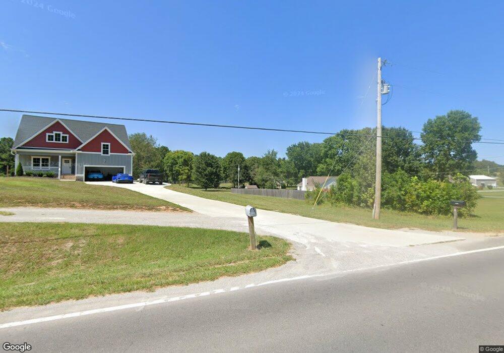
4940 Highway 49 W Springfield, TN 37172
Estimated Value: $592,000 - $1,081,987
--
Bed
2
Baths
2,432
Sq Ft
$344/Sq Ft
Est. Value
About This Home
This home is located at 4940 Highway 49 W, Springfield, TN 37172 and is currently estimated at $836,994, approximately $344 per square foot. 4940 Highway 49 W is a home located in Robertson County with nearby schools including Westside Elementary School, Cheatham Park Elementary School, and Coopertown Middle School.
Ownership History
Date
Name
Owned For
Owner Type
Purchase Details
Closed on
Jan 31, 2024
Sold by
Hieber Steven A and Hieber Gina L
Bought by
Hieber Steven A and Head-Hieber Gina L
Current Estimated Value
Purchase Details
Closed on
Oct 1, 2012
Sold by
Apple Buford T
Bought by
Hieber Steven A and Head Gina L
Purchase Details
Closed on
Jun 12, 1979
Bought by
Apple Buford T
Create a Home Valuation Report for This Property
The Home Valuation Report is an in-depth analysis detailing your home's value as well as a comparison with similar homes in the area
Home Values in the Area
Average Home Value in this Area
Purchase History
| Date | Buyer | Sale Price | Title Company |
|---|---|---|---|
| Hieber Steven A | -- | None Listed On Document | |
| Hieber Steven A | $227,000 | -- | |
| Apple Buford T | -- | -- |
Source: Public Records
Tax History Compared to Growth
Tax History
| Year | Tax Paid | Tax Assessment Tax Assessment Total Assessment is a certain percentage of the fair market value that is determined by local assessors to be the total taxable value of land and additions on the property. | Land | Improvement |
|---|---|---|---|---|
| 2024 | $2,729 | $151,625 | $47,425 | $104,200 |
| 2023 | $2,696 | $149,750 | $47,425 | $102,325 |
| 2022 | $2,649 | $102,825 | $27,700 | $75,125 |
| 2021 | $589 | $102,825 | $27,700 | $75,125 |
| 2020 | $589 | $22,875 | $20,675 | $2,200 |
| 2019 | $621 | $24,125 | $20,675 | $3,450 |
| 2018 | $621 | $24,125 | $20,675 | $3,450 |
| 2017 | $875 | $28,350 | $21,725 | $6,625 |
| 2016 | $875 | $28,350 | $21,725 | $6,625 |
| 2015 | $839 | $28,350 | $21,725 | $6,625 |
| 2014 | $839 | $28,350 | $21,725 | $6,625 |
Source: Public Records
Map
Nearby Homes
- 0 Forest Park Rd Unit RTC3002403
- 0 Forest Park Rd Unit RTC3002406
- 0 Forest Park Rd Unit RTC3002408
- 3508 Forest Park Rd
- 3545 Jim Gower Rd
- 2060 Beverly Ct
- 1100 Goose Dr
- 1137 Goose Dr
- 1161 Goose Dr
- 1203 Goose Dr
- 5106 High Oaks Place
- 5148 Highway 49 W
- 1421 Lawrence Ln
- 7373 New Chapel Rd
- 1503 5th Ave W
- 4552 Highway 49 W
- 5058 New Chapel Rd
- 8049 New Chapel Rd
- 3318 Burr Rd
- 3294 Burr Rd
- 3574 Raymond Head Rd
- 3582 Raymond Head Rd
- 325 Clearview Dr
- 319 Clearview Dr
- 3610 Raymond Head Rd
- 3568 Raymond Head Rd
- 315 Clearview Dr
- 316 Clearview Dr
- 1015 Mohawk Trail
- 311 Clearview Dr
- 312 Clearview Dr
- 3569 Raymond Head Rd
- 307 Clearview Dr
- 3609 Raymond Head Rd
- 3562 Raymond Head Rd
- 308 Clearview Dr
- 4926 Highway 49 W
- 301 Clearview Dr
- 3558 Raymond Head Rd
- 3561 Raymond Head Rd