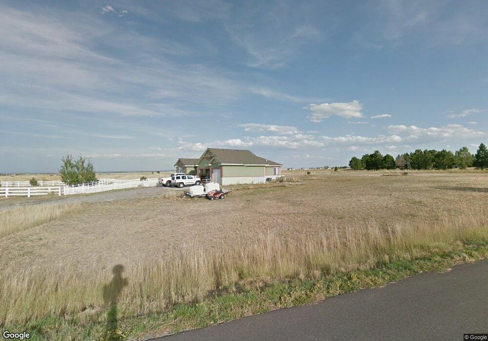
4940 Shoshoni Trail Billings, MT 59106
Estimated Value: $530,000 - $670,000
4
Beds
4
Baths
1,962
Sq Ft
$312/Sq Ft
Est. Value
About This Home
This home is located at 4940 Shoshoni Trail, Billings, MT 59106 and is currently estimated at $611,178, approximately $311 per square foot. 4940 Shoshoni Trail is a home located in Yellowstone County with nearby schools including Alkali Creek School, Castle Rock Junior High School, and Skyview High School.
Ownership History
Date
Name
Owned For
Owner Type
Purchase Details
Closed on
Mar 5, 2007
Sold by
Johnson Brett M and Johnson Loren G
Bought by
Gaub Michael Jay and Robertson Misti Lei
Current Estimated Value
Home Financials for this Owner
Home Financials are based on the most recent Mortgage that was taken out on this home.
Original Mortgage
$275,000
Outstanding Balance
$165,998
Interest Rate
6.21%
Mortgage Type
Purchase Money Mortgage
Estimated Equity
$445,180
Create a Home Valuation Report for This Property
The Home Valuation Report is an in-depth analysis detailing your home's value as well as a comparison with similar homes in the area
Home Values in the Area
Average Home Value in this Area
Purchase History
| Date | Buyer | Sale Price | Title Company |
|---|---|---|---|
| Gaub Michael Jay | -- | None Available |
Source: Public Records
Mortgage History
| Date | Status | Borrower | Loan Amount |
|---|---|---|---|
| Open | Gaub Michael Jay | $275,000 |
Source: Public Records
Tax History Compared to Growth
Tax History
| Year | Tax Paid | Tax Assessment Tax Assessment Total Assessment is a certain percentage of the fair market value that is determined by local assessors to be the total taxable value of land and additions on the property. | Land | Improvement |
|---|---|---|---|---|
| 2025 | $4,859 | $560,300 | $71,005 | $489,295 |
| 2024 | $4,859 | $458,800 | $61,452 | $397,348 |
| 2023 | $4,765 | $458,800 | $61,452 | $397,348 |
| 2022 | $4,544 | $390,400 | $0 | $0 |
| 2021 | $4,527 | $390,400 | $0 | $0 |
| 2020 | $4,421 | $381,900 | $0 | $0 |
| 2019 | $4,355 | $381,900 | $0 | $0 |
| 2018 | $4,268 | $364,000 | $0 | $0 |
| 2017 | $2,794 | $364,000 | $0 | $0 |
| 2016 | $3,928 | $340,400 | $0 | $0 |
| 2015 | $3,859 | $340,400 | $0 | $0 |
| 2014 | $3,424 | $151,739 | $0 | $0 |
Source: Public Records
Map
Nearby Homes
- 3706 Iroquois Trail
- TBD Arapaho Trail
- 3485 Stone Mountain Cir
- 5432 Billy Casper Dr
- 4699 Palisades Park
- 5404 Gene Sarazen Dr
- 4984 Whisper Way Unit 5
- 4960 Whisper Way
- 5625 Walter Hagen Dr
- 5650 Canyonwoods Dr
- 3043 Lloyd Mangrum Ln
- 3230 Ben Hogan Ln
- 2711 Tulane Dr
- 4448 Toyon Dr
- 4265 Laredo Place
- 5212 Chapel Hill Dr
- 5810 Sam Snead Trail
- 2526 Buffalo Ridge Trail
- 5045 Audubon Way
- 5073 Audubon Way
- 3725 Iroquois Trail
- 5006 Cherokee Trail
- 3636 Kiowa Trail
- 5011 Cherokee Trail
- 3737 Iroquois Trail
- 3640 Mescalero Trail
- 3656 Mescalero Trail
- - Mescalero Trail
- 0 Mescalero Trail
- 5020 Cherokee Trail
- 3739 Chippewa Trail
- 3626 Mescalero Trail
- 3620 Kiowa Trail
- 00 Cherokee Trail
- 0 Cherokee Trail
- 3713 Chippewa Trail
- 5025 Cherokee Trail
- 3616 Mescalero Trail
- 3611 Kiowa Trail
- 5038 Cherokee Trail