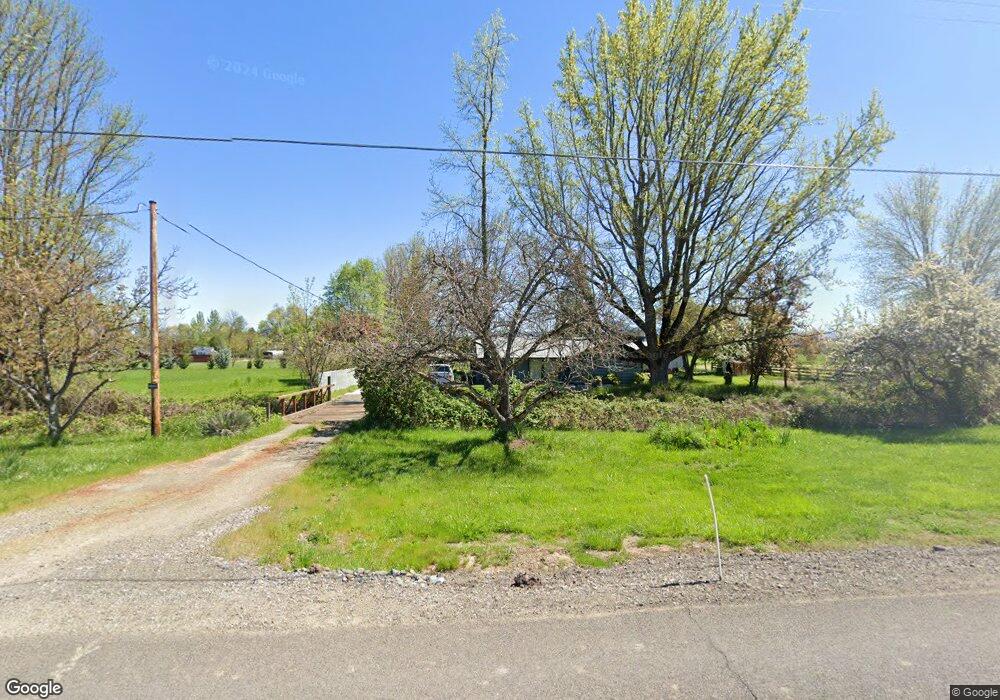
4946 Grant Rd Central Point, OR 97502
Estimated Value: $363,019 - $383,000
4
Beds
2
Baths
2,136
Sq Ft
$173/Sq Ft
Est. Value
About This Home
This home is located at 4946 Grant Rd, Central Point, OR 97502 and is currently estimated at $370,006, approximately $173 per square foot. 4946 Grant Rd is a home located in Jackson County with nearby schools including Richardson Elementary School, Scenic Middle School, and Crater High School.
Ownership History
Date
Name
Owned For
Owner Type
Purchase Details
Closed on
Feb 24, 1998
Sold by
Mckeehan Rodger W and Mckeehan Janet K
Bought by
Mckeehan Rodger and Mckeehan Janet K
Current Estimated Value
Create a Home Valuation Report for This Property
The Home Valuation Report is an in-depth analysis detailing your home's value as well as a comparison with similar homes in the area
Purchase History
| Date | Buyer | Sale Price | Title Company |
|---|---|---|---|
| Mckeehan Rodger | -- | -- |
Source: Public Records
Tax History
| Year | Tax Paid | Tax Assessment Tax Assessment Total Assessment is a certain percentage of the fair market value that is determined by local assessors to be the total taxable value of land and additions on the property. | Land | Improvement |
|---|---|---|---|---|
| 2026 | $3,234 | $240,420 | $128,400 | $112,020 |
| 2025 | $3,160 | $257,200 | $88,500 | $168,700 |
| 2024 | $3,160 | $249,710 | $109,280 | $140,430 |
| 2023 | $3,055 | $242,440 | $106,100 | $136,340 |
| 2022 | $2,990 | $242,440 | $106,100 | $136,340 |
| 2021 | $2,905 | $235,380 | $103,010 | $132,370 |
| 2020 | $2,820 | $228,530 | $100,010 | $128,520 |
| 2019 | $2,755 | $215,420 | $94,270 | $121,150 |
| 2018 | $2,670 | $209,150 | $91,520 | $117,630 |
| 2017 | $2,606 | $209,150 | $91,520 | $117,630 |
| 2016 | $2,530 | $197,150 | $86,260 | $110,890 |
| 2015 | $2,413 | $197,150 | $86,260 | $110,890 |
| 2014 | $2,355 | $185,840 | $81,310 | $104,530 |
Source: Public Records
Map
Nearby Homes
- 1317 River Run St
- 545 Bridge Creek Dr
- 335 Applewood Dr
- 1860 Cottonwood Dr
- 356 Marian Ave Unit 40
- 366 Marian Ave Unit 39
- 348 Cascade Dr
- 1167 Boulder Ridge St
- 1855 Nancy Ave
- 0 Boulder Ridge St
- 4626 N Pacific Hwy
- 5030 Del Mar Dr
- 4269 Grant Rd
- 1134 Steamboat Dr
- 626 Griffin Oaks Dr
- 407 Silver Creek Dr
- 55 Crater Ln
- 342 Hazel St
- 833 Hazel St
- 348 N 6th St
- 4919 Grant Rd
- 4975 Grant Rd
- 4872 Grant Rd
- 4987 Grant Rd
- 2551 Scenic Ave
- 2525 Scenic Ave
- 4877 Grant Rd
- 2641 Scenic Ave
- 1725 River Run St
- 2541 Scenic Ave
- 2489 Scenic Ave
- 1717 River Run St
- 1733 River Run St
- 4866 Grant Rd
- 1625 River Run St
- 1726 River Run St
- 1617 River Run St
- 2510 Scenic Ave
- 2653 Scenic Ave
- 1734 River Run St
Your Personal Tour Guide
Ask me questions while you tour the home.