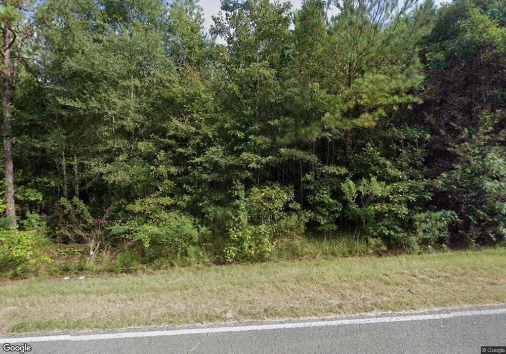
4955 Lagrange Rd Mathiston, MS 39752
Estimated Value: $233,947 - $317,000
Studio
--
Bath
2,374
Sq Ft
$116/Sq Ft
Est. Value
About This Home
This home is located at 4955 Lagrange Rd, Mathiston, MS 39752 and is currently estimated at $275,474, approximately $116 per square foot. 4955 Lagrange Rd is a home with nearby schools including Ackerman Elementary School.
Ownership History
Date
Name
Owned For
Owner Type
Purchase Details
Closed on
Jan 24, 2019
Sold by
Halford Will and Halford Michael A
Bought by
Halford Michael A and Halford Myra
Current Estimated Value
Purchase Details
Closed on
Aug 15, 2011
Sold by
Jones Sammy W and Jones Rita R
Bought by
Shurden Clifton and Frazier Olivia T
Home Financials for this Owner
Home Financials are based on the most recent Mortgage that was taken out on this home.
Original Mortgage
$59,387
Interest Rate
4.54%
Create a Home Valuation Report for This Property
The Home Valuation Report is an in-depth analysis detailing your home's value as well as a comparison with similar homes in the area
Purchase History
| Date | Buyer | Sale Price | Title Company |
|---|---|---|---|
| Halford Michael A | -- | -- | |
| Shurden Clifton | -- | -- |
Source: Public Records
Mortgage History
| Date | Status | Borrower | Loan Amount |
|---|---|---|---|
| Previous Owner | Shurden Clifton | $59,387 |
Source: Public Records
Tax History
| Year | Tax Paid | Tax Assessment Tax Assessment Total Assessment is a certain percentage of the fair market value that is determined by local assessors to be the total taxable value of land and additions on the property. | Land | Improvement |
|---|---|---|---|---|
| 2024 | $427 | $12,544 | $1,367 | $11,177 |
| 2023 | $410 | $12,570 | $1,393 | $11,177 |
| 2022 | $415 | $12,629 | $1,452 | $11,177 |
| 2021 | $492 | $13,586 | $1,452 | $12,134 |
| 2020 | $418 | $12,673 | $1,507 | $11,166 |
| 2019 | $134 | $1,641 | $1,282 | $359 |
| 2018 | $135 | $1,655 | $1,296 | $359 |
| 2017 | $140 | $1,712 | $1,282 | $430 |
| 2016 | -- | $1,690 | $1,284 | $406 |
| 2015 | -- | $4,775 | $986 | $3,789 |
| 2013 | -- | $4,163 | $917 | $3,246 |
Source: Public Records
Map
Nearby Homes
- 4679 Lagrange Rd
- 0 Highway 82 W Unit 25-2325
- 0 Highway 82 W Unit 25-532
- 314 Natchez Trace Rd
- TBD Mississippi 15
- 218 College St
- 1326 E Old Highway 82
- 195 Ticky Bend Rd
- 14549 U S 82
- 673 Mississippi 403
- 1363 Spring Valley Rd
- 0 N County Line Rd
- Lot 2 Mississippi 15
- Lot 3 Mississippi 15
- 1582 Maben Starkville Rd
- 000 Ms-9
- 000 Hwy 9
- 4011 Mississippi 182
- 0 Maben-Bell Schoolhouse Rd
- 199 Jeff Peay Rd
