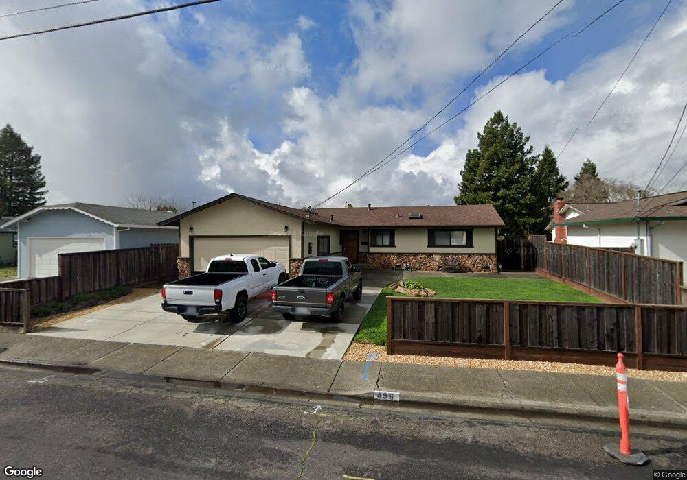
496 Anson Ave Rohnert Park, CA 94928
Estimated Value: $644,000 - $679,000
4
Beds
2
Baths
1,300
Sq Ft
$508/Sq Ft
Est. Value
About This Home
This home is located at 496 Anson Ave, Rohnert Park, CA 94928 and is currently estimated at $660,699, approximately $508 per square foot. 496 Anson Ave is a home located in Sonoma County with nearby schools including Rancho Cotate High School, Cross & Crown Lutheran School, and Bridghaven.
Ownership History
Date
Name
Owned For
Owner Type
Purchase Details
Closed on
Dec 20, 2016
Sold by
White Anna
Bought by
White Richard L
Current Estimated Value
Home Financials for this Owner
Home Financials are based on the most recent Mortgage that was taken out on this home.
Original Mortgage
$204,200
Outstanding Balance
$167,431
Interest Rate
4.03%
Mortgage Type
New Conventional
Estimated Equity
$493,268
Purchase Details
Closed on
Dec 30, 1997
Sold by
White Tammy L
Bought by
White Richard L
Purchase Details
Closed on
Dec 4, 1992
Bought by
White Richard L
Create a Home Valuation Report for This Property
The Home Valuation Report is an in-depth analysis detailing your home's value as well as a comparison with similar homes in the area
Home Values in the Area
Average Home Value in this Area
Purchase History
| Date | Buyer | Sale Price | Title Company |
|---|---|---|---|
| White Richard L | -- | Fidelity National Title Co | |
| White Richard L | -- | -- | |
| White Richard L | $168,000 | -- |
Source: Public Records
Mortgage History
| Date | Status | Borrower | Loan Amount |
|---|---|---|---|
| Open | White Richard L | $204,200 |
Source: Public Records
Tax History Compared to Growth
Tax History
| Year | Tax Paid | Tax Assessment Tax Assessment Total Assessment is a certain percentage of the fair market value that is determined by local assessors to be the total taxable value of land and additions on the property. | Land | Improvement |
|---|---|---|---|---|
| 2025 | $3,396 | $291,671 | $147,572 | $144,099 |
| 2024 | $3,396 | $285,953 | $144,679 | $141,274 |
| 2023 | $3,396 | $280,347 | $141,843 | $138,504 |
| 2022 | $3,330 | $274,851 | $139,062 | $135,789 |
| 2021 | $3,303 | $269,463 | $136,336 | $133,127 |
| 2020 | $3,350 | $266,701 | $134,939 | $131,762 |
| 2019 | $3,307 | $261,473 | $132,294 | $129,179 |
| 2018 | $3,244 | $256,347 | $129,700 | $126,647 |
| 2017 | $3,190 | $251,321 | $127,157 | $124,164 |
| 2016 | $3,056 | $246,394 | $124,664 | $121,730 |
| 2015 | $2,982 | $242,694 | $122,792 | $119,902 |
| 2014 | $2,961 | $237,941 | $120,387 | $117,554 |
Source: Public Records
Map
Nearby Homes
- 530 Anson Ct
- 566 Santa Alicia Dr
- 478 Santa Alicia Dr
- 7301 Willlowglen Dr
- 7316 Willowglen Dr
- 77 Walnut Cir
- 138 Walnut Cir
- 229 Arlen Dr
- 950 Santa Alicia Dr
- 746 Bernadette Ave
- 7530 Bernice Ave
- 21 Avram Ave
- 211 Apple Ln
- 7449 Adrian Dr
- 6440 Country Club Dr
- 11 Avram Ave
- 219 College View Dr
- 6469 Meadow Pines Ave
- 641 Racquet Club Cir
- 928 Civic Center Dr