496 Dry Creek Rd Cedartown, GA 30125
Estimated Value: $200,302 - $255,000
2
Beds
1
Bath
1,254
Sq Ft
$186/Sq Ft
Est. Value
About This Home
This home is located at 496 Dry Creek Rd, Cedartown, GA 30125 and is currently estimated at $233,576, approximately $186 per square foot. 496 Dry Creek Rd is a home located in Polk County with nearby schools including Cedar Christian School.
Ownership History
Date
Name
Owned For
Owner Type
Purchase Details
Closed on
Jan 19, 2024
Sold by
Johnson Hubert F
Bought by
Johnson Hubert Franklin
Current Estimated Value
Purchase Details
Closed on
Jan 6, 1977
Sold by
Wood Mary E and Wood Duane
Bought by
Johnson Hubert F
Purchase Details
Closed on
Sep 4, 1976
Sold by
Russell Mary E Smith
Bought by
Wood Mary E and Wood Duane
Purchase Details
Closed on
Jan 19, 1972
Sold by
Russell Chester
Bought by
Russell Mary E Smith
Purchase Details
Closed on
Aug 29, 1970
Sold by
Carter Claude
Bought by
Russell Chester
Purchase Details
Closed on
Nov 7, 1938
Bought by
Carter Claude
Create a Home Valuation Report for This Property
The Home Valuation Report is an in-depth analysis detailing your home's value as well as a comparison with similar homes in the area
Home Values in the Area
Average Home Value in this Area
Purchase History
| Date | Buyer | Sale Price | Title Company |
|---|---|---|---|
| Johnson Hubert Franklin | -- | -- | |
| Johnson Hubert F | -- | -- | |
| Wood Mary E | -- | -- | |
| Russell Mary E Smith | -- | -- | |
| Russell Chester | -- | -- | |
| Carter Claude | -- | -- |
Source: Public Records
Tax History Compared to Growth
Tax History
| Year | Tax Paid | Tax Assessment Tax Assessment Total Assessment is a certain percentage of the fair market value that is determined by local assessors to be the total taxable value of land and additions on the property. | Land | Improvement |
|---|---|---|---|---|
| 2024 | $1,182 | $56,550 | $29,210 | $27,340 |
| 2023 | $1,111 | $46,834 | $29,210 | $17,624 |
| 2022 | $820 | $34,550 | $19,474 | $15,076 |
| 2021 | $831 | $34,550 | $19,474 | $15,076 |
| 2020 | $832 | $34,550 | $19,474 | $15,076 |
| 2019 | $726 | $27,021 | $19,474 | $7,547 |
| 2018 | $739 | $26,811 | $19,474 | $7,337 |
| 2017 | $730 | $26,811 | $19,474 | $7,337 |
| 2016 | $762 | $28,019 | $20,682 | $7,337 |
| 2015 | $765 | $28,019 | $20,682 | $7,337 |
| 2014 | $770 | $28,019 | $20,682 | $7,337 |
Source: Public Records
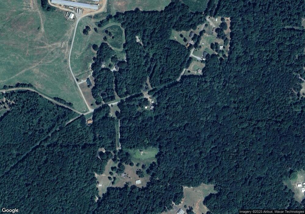
Map
Nearby Homes
- 148 Persons Rd
- 1849 Prior Station Rd Unit 77.57 ACRES
- 1849 Prior Station Rd
- 323 Mountain Home Rd
- 0 Mountain Home Rd Unit 1020-B 10351940
- 0 Mountain Home Rd Unit 1020-C 10351948
- 0 Mountain Home Rd Unit 1020-A 10351930
- 35 Harris Loop
- 0 Old Potash Rd Unit 7675402
- 0 Old Potash Rd Unit 10636176
- 382 5th St
- 293 4th St
- 39 Summerwind Dr
- 1200 N Cave Spring St
- 00 Cornelius Rd
- 119 Jackson St
- 0 Cave Spring Rd Unit 10631588
- 0 Cave Spring Rd Unit 7671027
- 208 Silverthorn Way
- 309 Walnut St
- 499 Dry Creek Rd
- 552 Dry Creek Rd
- 456 Dry Creek Rd
- 430 Dry Creek Rd
- 477 Dry Creek Rd
- 449 Dry Creek Rd
- 596 Dry Creek Rd
- 73 Edwards Rd
- 100 Edwards Rd
- 185 Edwards Rd
- 0 Sanders Cemetery Rd
- 0 Sanders Cemetery Rd Unit 8178630
- 0 Sanders Cemetery Rd Unit 8365348
- 307 Persons Rd
- 311 Persons Rd
- 347 Persons Rd
- 273 Persons Rd
- 357 Persons Rd
- 377 Persons Rd
- 437 Dry Creek Rd