Estimated Value: $1,228,000 - $1,684,000
4
Beds
4
Baths
3,226
Sq Ft
$458/Sq Ft
Est. Value
About This Home
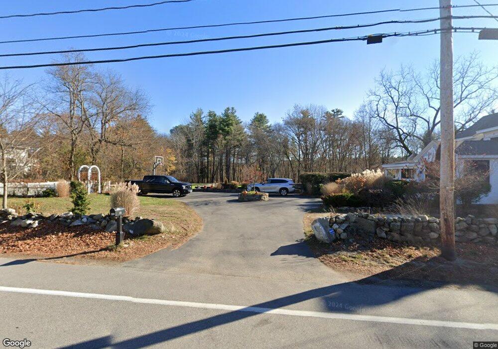
This home is located at 496 Wallis Rd, Rye, NH 03870 and is currently estimated at $1,478,659, approximately $458 per square foot. 496 Wallis Rd is a home located in Rockingham County with nearby schools including Rye Elementary School, Rye Junior High School, and Rye Country Day School.
Ownership History
Date
Name
Owned For
Owner Type
Purchase Details
Closed on
May 24, 2005
Sold by
Sharon R Ruse T
Bought by
Murphy Brian J and Murphy Lindsay
Current Estimated Value
Home Financials for this Owner
Home Financials are based on the most recent Mortgage that was taken out on this home.
Original Mortgage
$359,650
Outstanding Balance
$68,773
Interest Rate
5.95%
Estimated Equity
$1,409,886
Create a Home Valuation Report for This Property
The Home Valuation Report is an in-depth analysis detailing your home's value as well as a comparison with similar homes in the area
Home Values in the Area
Average Home Value in this Area
Purchase History
| Date | Buyer | Sale Price | Title Company |
|---|---|---|---|
| Murphy Brian J | $471,500 | -- |
Source: Public Records
Mortgage History
| Date | Status | Borrower | Loan Amount |
|---|---|---|---|
| Open | Murphy Brian J | $359,650 |
Source: Public Records
Tax History
| Year | Tax Paid | Tax Assessment Tax Assessment Total Assessment is a certain percentage of the fair market value that is determined by local assessors to be the total taxable value of land and additions on the property. | Land | Improvement |
|---|---|---|---|---|
| 2024 | $7,602 | $877,800 | $467,700 | $410,100 |
| 2023 | $7,385 | $919,700 | $467,700 | $452,000 |
| 2022 | $6,420 | $919,700 | $467,700 | $452,000 |
| 2021 | $6,859 | $671,100 | $321,300 | $349,800 |
| 2020 | $7,221 | $671,100 | $321,300 | $349,800 |
| 2019 | $6,859 | $671,100 | $321,300 | $349,800 |
| 2018 | $7,352 | $671,100 | $321,300 | $349,800 |
| 2017 | $6,745 | $667,200 | $321,300 | $345,900 |
| 2016 | $6,146 | $575,500 | $235,900 | $339,600 |
| 2013 | $5,478 | $499,400 | $235,900 | $263,500 |
Source: Public Records
Map
Nearby Homes
- 665 Wallis Rd Unit 2
- 389 Sagamore Rd
- 397 Lang Rd
- 137 Clark Rd
- 414 Springbrook Cir
- 1 Pheasant Ln
- 110 Brackett Rd
- 2075 Lafayette Rd Unit 18
- 2075 Lafayette Rd Unit A23
- 236 Sagamore Rd
- 1515 Ocean Blvd Unit 4
- 1703 White Cedar Blvd
- 1591 Ocean Blvd
- 1643 Ocean Blvd
- 1215 Ocean Blvd Unit 5
- 80 Constitution Ave Unit 225
- 80 Constitution Ave Unit 317
- 80 Constitution Ave Unit 231
- 80 Constitution Ave Unit 408
- 80 Constitution Ave Unit 331
- 500 Wallis Rd
- 503 Wallis Rd
- 503 Wallis Rd Unit B
- 485 Wallis Rd
- 480 Wallis Rd
- 510 Wallis Rd
- 476 Wallis Rd
- 475 Wallis Rd
- 24 Sea Glass Ln
- 24 Sea Glass Ln Unit 18
- 472 Wallis Rd
- 516 Wallis Rd
- 28 Sea Glass Ln
- 30 Sea Glass Ln
- 32 Sea Glass Ln
- 34 Sea Glass Ln
- 14 Sea Glass Ln
- 20 Sea Glass Ln
- 471 Wallis Rd
- 524 Wallis Rd
Your Personal Tour Guide
Ask me questions while you tour the home.