497 C Dees Rd Deridder, LA 70634
Estimated Value: $250,000 - $265,000
3
Beds
2
Baths
3,343
Sq Ft
$76/Sq Ft
Est. Value
About This Home
This home is located at 497 C Dees Rd, Deridder, LA 70634 and is currently estimated at $255,414, approximately $76 per square foot. 497 C Dees Rd is a home located in Vernon Parish.
Ownership History
Date
Name
Owned For
Owner Type
Purchase Details
Closed on
May 9, 2017
Sold by
Sherman Chad Aaron and Sherman Roberta
Bought by
Truitt Ronald S and Truitt Brenda G
Current Estimated Value
Purchase Details
Closed on
May 12, 2010
Sold by
Berrett Mark Christopher and Berrett Veronika Pakozdy
Bought by
Sherman Chad Aaron
Home Financials for this Owner
Home Financials are based on the most recent Mortgage that was taken out on this home.
Original Mortgage
$193,982
Interest Rate
5%
Mortgage Type
VA
Purchase Details
Closed on
May 5, 2008
Sold by
Hamm Olen Jamie and Hamm Monica Lynn Miller
Bought by
Berrett Mark Christopher and Pakozdy Veronika
Home Financials for this Owner
Home Financials are based on the most recent Mortgage that was taken out on this home.
Original Mortgage
$151,900
Interest Rate
5.89%
Mortgage Type
Stand Alone First
Create a Home Valuation Report for This Property
The Home Valuation Report is an in-depth analysis detailing your home's value as well as a comparison with similar homes in the area
Purchase History
| Date | Buyer | Sale Price | Title Company |
|---|---|---|---|
| Truitt Ronald S | $208,000 | None Available | |
| Sherman Chad Aaron | $189,900 | -- | |
| Berrett Mark Christopher | $189,890 | -- |
Source: Public Records
Mortgage History
| Date | Status | Borrower | Loan Amount |
|---|---|---|---|
| Previous Owner | Sherman Chad Aaron | $193,982 | |
| Previous Owner | Berrett Mark Christopher | $151,900 |
Source: Public Records
Tax History
| Year | Tax Paid | Tax Assessment Tax Assessment Total Assessment is a certain percentage of the fair market value that is determined by local assessors to be the total taxable value of land and additions on the property. | Land | Improvement |
|---|---|---|---|---|
| 2025 | $2,632 | $20,390 | $440 | $19,950 |
| 2024 | $2,622 | $20,390 | $440 | $19,950 |
| 2023 | $2,455 | $20,440 | $440 | $20,000 |
| 2022 | $2,705 | $20,440 | $440 | $20,000 |
| 2021 | $2,789 | $20,440 | $440 | $20,000 |
| 2020 | $2,768 | $20,440 | $440 | $20,000 |
| 2019 | $2,803 | $20,440 | $440 | $20,000 |
| 2018 | $2,825 | $20,800 | $800 | $20,000 |
| 2017 | $2,827 | $20,800 | $800 | $20,000 |
| 2015 | $2,231 | $16,250 | $1,250 | $15,000 |
| 2014 | $2,170 | $16,250 | $1,250 | $15,000 |
| 2013 | $2,206 | $16,250 | $1,250 | $15,000 |
Source: Public Records
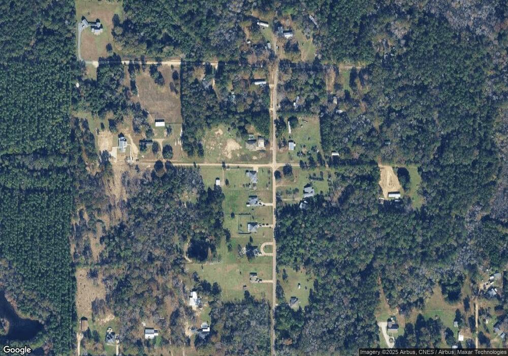
Map
Nearby Homes
- 178
- 1931 Charlotte St
- 8983 Main St
- 2108 Pear St
- 2107 Peach St
- 7197 Evans St
- 0 Johnnie B Hall Memorial Hwy
- 1016 Meadowbrook St
- 119 Barbara Dr
- 6093 Fagan Cir
- 6106 Fagan Cir
- 1844 Woodlawn St
- 810 Greenbriar St
- 903 Greenbriar St
- 205 Barbara Dr
- 243 Cornwell Rd
- 6628 Bailey Rd
- 6616 Bailey Rd
- 2721 Liliedahl Rd
- 0 Lake Charles Hwy Unit SWL24003728
- 189 C Dees Rd
- 583 C Dees Rd
- 522 C Dees Rd
- 547 C Dees Rd
- 135 C Dees Rd
- 579 C Dees Rd
- 178 B C Doyle Rd
- 194 B C Doyle Rd
- 140 H Roberts Rd Unit Rd
- 140 H Roberts Rd
- 180 H Roberts Rd
- 250 C Dees Rd
- 177 B C Doyle Rd
- 175 B C Doyle Rd
- 261 C Dees Rd
- 193 B C Doyle Rd
- 246 B C Doyle Rd
- 203 B C Doyle Rd
- 221 B C Doyle Rd
- 324 B C Doyle Rd
Your Personal Tour Guide
Ask me questions while you tour the home.