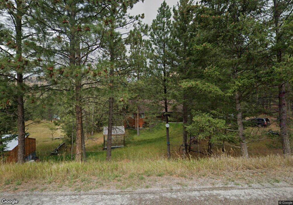
4970 Huckleberry Rd Missoula, MT 59803
Estimated Value: $935,000 - $1,152,000
5
Beds
4
Baths
1,970
Sq Ft
$518/Sq Ft
Est. Value
About This Home
This home is located at 4970 Huckleberry Rd, Missoula, MT 59803 and is currently estimated at $1,020,860, approximately $518 per square foot. 4970 Huckleberry Rd is a home located in Missoula County with nearby schools including Lewis & Clark School, Washington Middle School, and Sentinel High School.
Ownership History
Date
Name
Owned For
Owner Type
Purchase Details
Closed on
Sep 6, 2002
Sold by
Carmody Raymond F and Carmody Susan P
Bought by
Truett Dale Harrison and Truett Susan Renae
Current Estimated Value
Home Financials for this Owner
Home Financials are based on the most recent Mortgage that was taken out on this home.
Original Mortgage
$109,000
Interest Rate
6.29%
Create a Home Valuation Report for This Property
The Home Valuation Report is an in-depth analysis detailing your home's value as well as a comparison with similar homes in the area
Home Values in the Area
Average Home Value in this Area
Purchase History
| Date | Buyer | Sale Price | Title Company |
|---|---|---|---|
| Truett Dale Harrison | -- | -- |
Source: Public Records
Mortgage History
| Date | Status | Borrower | Loan Amount |
|---|---|---|---|
| Closed | Truett Dale Harrison | $109,000 |
Source: Public Records
Tax History Compared to Growth
Tax History
| Year | Tax Paid | Tax Assessment Tax Assessment Total Assessment is a certain percentage of the fair market value that is determined by local assessors to be the total taxable value of land and additions on the property. | Land | Improvement |
|---|---|---|---|---|
| 2025 | $7,123 | $907,900 | $228,148 | $679,752 |
| 2024 | $7,826 | $740,500 | $173,709 | $566,791 |
| 2023 | $6,912 | $740,500 | $173,709 | $566,791 |
| 2022 | $6,342 | $583,800 | $0 | $0 |
| 2021 | $6,355 | $583,800 | $0 | $0 |
| 2020 | $5,900 | $527,100 | $0 | $0 |
| 2019 | $5,887 | $527,100 | $0 | $0 |
| 2018 | $5,582 | $503,900 | $0 | $0 |
| 2017 | $5,041 | $503,900 | $0 | $0 |
| 2016 | $5,541 | $535,324 | $0 | $0 |
| 2015 | $5,098 | $535,324 | $0 | $0 |
| 2014 | $4,885 | $284,080 | $0 | $0 |
Source: Public Records
Map
Nearby Homes
- Parcel 3B Snowshoe Ln
- 4830 Arnica Rd
- 1133 Pacific Dr
- 901 Ben Hogan Dr
- 524 Spanish Peaks Dr
- 716 Spanish Peaks Dr
- 410 Ben Hogan Dr
- 230 Dean Stone Dr
- 110 Hillcrest Loop
- 140 Fairway Dr
- 100 Pattee Canyon Dr
- 500 Westview Dr
- 200 Northview Dr
- 1023 Whitaker Dr Unit A
- 925 Parkview Way
- 675 E Central Ave
- 217 Dixon Ave
- 203 High Park Way
- 2711 S Higgins Ave
- 217 Benton Ave
- 5075 Lupine Rd
- 4700 Lupine Rd
- 4855 Lupine Rd
- 4648 Lupine Rd
- 5050 Huckleberry Rd
- 4755 Lupine Rd
- 4705 Lupine Rd
- 5055 Huckleberry Rd
- 4920 Burning Tree Dr
- 5100 Huckleberry Rd
- 5155 Lupine Rd
- 5195 Lupine Rd
- 4655 Lupine Rd
- 4900 Burning Tree Dr
- 3125 Pattee Canyon Rd
- 5130 Huckleberry Rd
- 3175 Pattee Canyon Rd
- 5225 Lupine Rd
- 5120 Huckleberry Rd
- 3130 Pattee Canyon Rd