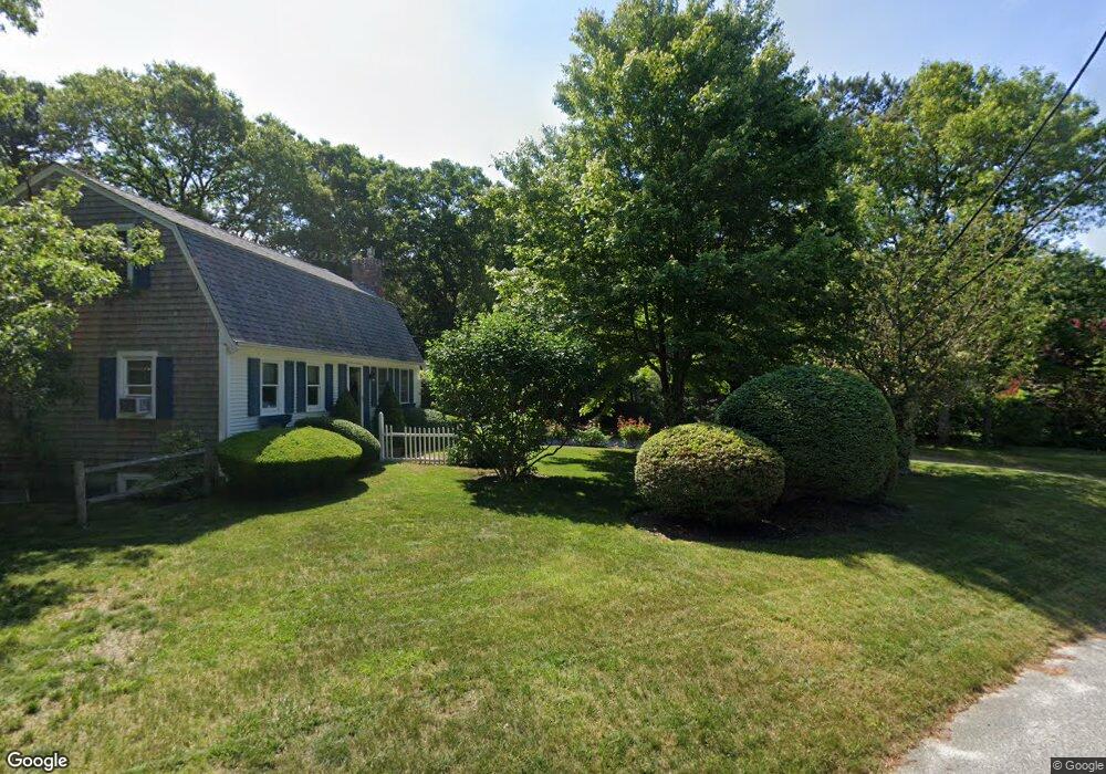
498 Skunknet Rd Centerville, MA 02632
Centerville NeighborhoodEstimated Value: $528,000 - $665,000
4
Beds
2
Baths
1,346
Sq Ft
$450/Sq Ft
Est. Value
About This Home
This home is located at 498 Skunknet Rd, Centerville, MA 02632 and is currently estimated at $606,068, approximately $450 per square foot. 498 Skunknet Rd is a home located in Barnstable County with nearby schools including Barnstable United Elementary School, Centerville Elementary School, and Barnstable Intermediate School.
Ownership History
Date
Name
Owned For
Owner Type
Purchase Details
Closed on
Dec 28, 2023
Sold by
Legeyt Steven G
Bought by
Steven G Legeyt Ret and Legeyt
Current Estimated Value
Purchase Details
Closed on
Aug 26, 1991
Sold by
Kilroy Bernard T
Bought by
Legeyt Steven G and Legeyt Andrea
Home Financials for this Owner
Home Financials are based on the most recent Mortgage that was taken out on this home.
Original Mortgage
$15,530
Interest Rate
9.55%
Mortgage Type
Purchase Money Mortgage
Create a Home Valuation Report for This Property
The Home Valuation Report is an in-depth analysis detailing your home's value as well as a comparison with similar homes in the area
Home Values in the Area
Average Home Value in this Area
Purchase History
| Date | Buyer | Sale Price | Title Company |
|---|---|---|---|
| Steven G Legeyt Ret | -- | None Available | |
| Legeyt Steven G | $115,100 | -- |
Source: Public Records
Mortgage History
| Date | Status | Borrower | Loan Amount |
|---|---|---|---|
| Previous Owner | Legeyt Steven G | $15,530 |
Source: Public Records
Tax History
| Year | Tax Paid | Tax Assessment Tax Assessment Total Assessment is a certain percentage of the fair market value that is determined by local assessors to be the total taxable value of land and additions on the property. | Land | Improvement |
|---|---|---|---|---|
| 2025 | $4,060 | $501,900 | $168,100 | $333,800 |
| 2024 | $3,754 | $480,700 | $168,100 | $312,600 |
| 2023 | $3,484 | $417,800 | $152,800 | $265,000 |
| 2022 | $3,213 | $333,300 | $113,200 | $220,100 |
| 2021 | $3,362 | $320,500 | $113,200 | $207,300 |
| 2020 | $3,266 | $298,000 | $113,200 | $184,800 |
| 2019 | $3,319 | $294,200 | $113,200 | $181,000 |
| 2018 | $2,988 | $266,300 | $119,200 | $147,100 |
| 2017 | $2,857 | $265,500 | $119,200 | $146,300 |
| 2016 | $2,865 | $262,800 | $116,500 | $146,300 |
| 2015 | $2,765 | $254,800 | $118,000 | $136,800 |
Source: Public Records
Map
Nearby Homes
- 51 Larch Ln
- 27 Lietrim Cir
- 315 Prince Hinckley Rd
- 172 Skunknet Rd
- 1309 Shootflying Hill Rd
- 1309 Shootflying Hill Rd
- 200 Lumbert Mill Rd
- 117 Elijah Childs Ln
- 22 Longfellow Dr
- 53 Meadow Farm Rd
- 1115 Shootflying Hill Rd
- 52 Meadow Farm Rd
- 352 Nye Rd
- 38 White Oak Trail
- 436 Nye Rd
- 97 Yacht Club Rd
- 82 Yacht Club Rd
- 37 Ansel Howland Rd
- 169 Cedric Rd
- 7 Ebenezer
Your Personal Tour Guide
Ask me questions while you tour the home.