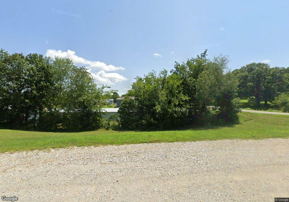
4985 State Route Cc Unit Rt Cc West Plains, MO 65775
Estimated Value: $74,004
--
Bed
--
Bath
768
Sq Ft
$96/Sq Ft
Est. Value
About This Home
This home is located at 4985 State Route Cc Unit Rt Cc, West Plains, MO 65775 and is currently estimated at $74,004, approximately $96 per square foot. 4985 State Route Cc Unit Rt Cc is a home located in Howell County with nearby schools including Faith Assembly Christian School.
Ownership History
Date
Name
Owned For
Owner Type
Purchase Details
Closed on
Apr 22, 2022
Sold by
Revocable Living Trust
Bought by
Destination Outdoors Rv Llc
Current Estimated Value
Home Financials for this Owner
Home Financials are based on the most recent Mortgage that was taken out on this home.
Original Mortgage
$52,000
Outstanding Balance
$17,712
Interest Rate
4.38%
Mortgage Type
New Conventional
Estimated Equity
$56,292
Purchase Details
Closed on
Apr 7, 2022
Sold by
Maxine Linthicum
Bought by
Revocable Living Trust
Home Financials for this Owner
Home Financials are based on the most recent Mortgage that was taken out on this home.
Original Mortgage
$52,000
Outstanding Balance
$17,712
Interest Rate
4.38%
Mortgage Type
New Conventional
Estimated Equity
$56,292
Purchase Details
Closed on
Apr 21, 2011
Sold by
Baxter Norma Ann and Baxter Dale Wallace
Bought by
Baxter Dale Wallace and Baxter Norma Ann
Create a Home Valuation Report for This Property
The Home Valuation Report is an in-depth analysis detailing your home's value as well as a comparison with similar homes in the area
Home Values in the Area
Average Home Value in this Area
Purchase History
| Date | Buyer | Sale Price | Title Company |
|---|---|---|---|
| Destination Outdoors Rv Llc | -- | None Listed On Document | |
| Revocable Living Trust | -- | New Title Company Name | |
| Baxter Dale Wallace | -- | None Available |
Source: Public Records
Mortgage History
| Date | Status | Borrower | Loan Amount |
|---|---|---|---|
| Open | Destination Outdoors Rv Llc | $52,000 |
Source: Public Records
Tax History Compared to Growth
Tax History
| Year | Tax Paid | Tax Assessment Tax Assessment Total Assessment is a certain percentage of the fair market value that is determined by local assessors to be the total taxable value of land and additions on the property. | Land | Improvement |
|---|---|---|---|---|
| 2025 | $449 | $10,810 | $9,220 | $1,590 |
| 2024 | $184 | $10,810 | -- | -- |
| 2023 | $184 | $5,470 | $0 | $0 |
| 2022 | $184 | $5,470 | $0 | $0 |
| 2021 | $185 | $5,470 | $0 | $0 |
| 2020 | $185 | $5,470 | $0 | $0 |
| 2019 | $196 | $5,470 | $0 | $0 |
| 2018 | $196 | $5,470 | $0 | $0 |
| 2017 | $196 | $5,470 | $0 | $0 |
| 2015 | -- | $6,000 | $0 | $0 |
| 2014 | -- | $6,000 | $0 | $0 |
| 2013 | -- | $6,000 | $0 | $0 |
Source: Public Records
Map
Nearby Homes
- 4949 State Route Cc
- 1916 Meadowbrook Dr
- 4811 State Route Cc
- 2416 Gleghorn St
- 1402 Stoney Dr
- 1945 Debra Dr
- 1933 Lynn Dr
- 1165 Susan Dr
- 000 Woodridge Subdivision
- 1931 Kay Dr
- 000 County Road 4100
- 1908 Timber Ln
- 000 Gleghorn St
- 1938 Debra Dr
- 000 Millwood Subdivision
- 1219 County Road 6170
- 2035 Roberta Ave
- 2204 Gleghorn St
- 1157 Chateau Dr
- 2321 Alley Springs Dr
- 4985 State Route Cc
- 4985 Hwy Cc
- 1560 State Route Cc
- 1810 Katherine Dr
- 8125 State Route Cc
- 7867 State Route Cc
- 1818 Katherine Dr
- 1806 Katherine Dr
- 3153 Cedar Ln
- 1822 Katherine Dr
- 1807 Christopher Dr
- 1805 Christopher St
- 1809 Christopher Dr
- 1803 Christopher St
- 1811 Christopher Dr
- 5014 State Route Cc
- 1801 Christopher Dr
- 1813 Christopher Dr
- 1808 Christopher St
- 1808 Christopher St
