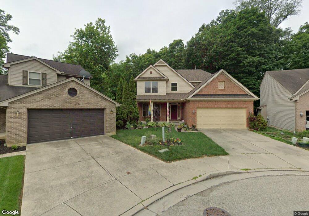
4986 High Hollow Ln Cincinnati, OH 45223
Northside NeighborhoodEstimated Value: $354,448 - $410,000
3
Beds
3
Baths
2,229
Sq Ft
$174/Sq Ft
Est. Value
About This Home
This home is located at 4986 High Hollow Ln, Cincinnati, OH 45223 and is currently estimated at $386,862, approximately $173 per square foot. 4986 High Hollow Ln is a home located in Hamilton County with nearby schools including Chase Elementary School, Robert A. Taft Information Technology High School, and Western Hills High School.
Ownership History
Date
Name
Owned For
Owner Type
Purchase Details
Closed on
May 29, 2002
Sold by
Vineyard Homes Inc
Bought by
Newman J Michael and Smith Michael J
Current Estimated Value
Home Financials for this Owner
Home Financials are based on the most recent Mortgage that was taken out on this home.
Original Mortgage
$110,000
Interest Rate
6.95%
Purchase Details
Closed on
Nov 30, 2001
Sold by
Ehhv Llc
Bought by
Vineyard Homes Inc
Create a Home Valuation Report for This Property
The Home Valuation Report is an in-depth analysis detailing your home's value as well as a comparison with similar homes in the area
Home Values in the Area
Average Home Value in this Area
Purchase History
| Date | Buyer | Sale Price | Title Company |
|---|---|---|---|
| Newman J Michael | $194,200 | Classic Title Agency Inc | |
| Vineyard Homes Inc | $29,000 | -- |
Source: Public Records
Mortgage History
| Date | Status | Borrower | Loan Amount |
|---|---|---|---|
| Previous Owner | Newman J Michael | $110,000 |
Source: Public Records
Tax History
| Year | Tax Paid | Tax Assessment Tax Assessment Total Assessment is a certain percentage of the fair market value that is determined by local assessors to be the total taxable value of land and additions on the property. | Land | Improvement |
|---|---|---|---|---|
| 2025 | $5,617 | $91,277 | $14,350 | $76,927 |
| 2023 | $5,569 | $91,277 | $14,350 | $76,927 |
| 2022 | $4,999 | $73,476 | $11,939 | $61,537 |
| 2021 | $4,812 | $73,476 | $11,939 | $61,537 |
| 2020 | $4,953 | $73,476 | $11,939 | $61,537 |
| 2019 | $5,205 | $70,651 | $11,480 | $59,171 |
| 2018 | $5,213 | $70,651 | $11,480 | $59,171 |
| 2017 | $809 | $70,651 | $11,480 | $59,171 |
| 2016 | $823 | $66,248 | $11,592 | $54,656 |
| 2015 | $742 | $66,248 | $11,592 | $54,656 |
| 2014 | $747 | $66,248 | $11,592 | $54,656 |
| 2013 | $827 | $72,009 | $12,600 | $59,409 |
Source: Public Records
Map
Nearby Homes
- 4706 Hassman Ct
- 1493 Spring Lawn Ave
- 4719 Hamilton Ave
- 2637 Firtree Ct
- 4568 Hamilton Ave
- 4556 Hamilton Ave
- 1610 Glen Parker Ave
- 1650 Philomena Ave
- 4553 Anthony Ave
- 1641 Frederick Ave
- 1649 Glen Parker Ave
- 4392 Hamilton Ave
- 5441 Lanius Ln
- 2088 Raeburn Dr
- 4373 Virginia Ave
- 5425 Kirby Ave
- 4361 Virginia Ave
- 4326 Hamilton Ave
- 5510 Hamilton Ave
- 4262 Langland St
- 4989 High Hollow Ln
- 4990 High Hollow Ln
- 1563 Rockford Place
- 4994 High Hollow Ln
- 1567 Rockford Place
- 4998 High Hollow Ln
- 4719 Hassman Ct
- 1571 Rockford Place
- 4717 Hassman Ct
- 4721 Hassman Ct
- 1575 Rockford Place
- 4723 Hassman Ct
- 4715 Hassman Ct
- 4725 Hassman Ct
- 4727 Hassman Ct
- 1560 Rockford Place
- 4729 Hassman Ct
- 4713 Hassman Ct
- 1556 Rockford Place
- 1550 Rockford Place
Your Personal Tour Guide
Ask me questions while you tour the home.