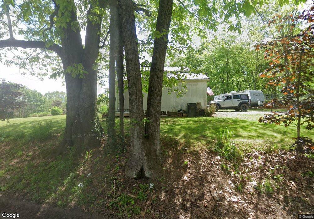
4995 Taylor Rd New Concord, OH 43762
Estimated Value: $345,000 - $431,000
3
Beds
3
Baths
2,080
Sq Ft
$189/Sq Ft
Est. Value
About This Home
This home is located at 4995 Taylor Rd, New Concord, OH 43762 and is currently estimated at $392,209, approximately $188 per square foot. 4995 Taylor Rd is a home located in Muskingum County with nearby schools including New Concord Elementary School, East Muskingum Middle School, and Larry Miller Intermediate Elementary School.
Ownership History
Date
Name
Owned For
Owner Type
Purchase Details
Closed on
Jul 23, 2010
Sold by
Neff Larry and Neff Melonie
Bought by
Wells Christopher R and Wells Brooke L
Current Estimated Value
Home Financials for this Owner
Home Financials are based on the most recent Mortgage that was taken out on this home.
Original Mortgage
$145,000
Interest Rate
4.81%
Mortgage Type
Future Advance Clause Open End Mortgage
Purchase Details
Closed on
Jul 2, 1999
Sold by
Dreibelbiss Jeanette L
Bought by
Neff Larry N and Neff Melanie A
Home Financials for this Owner
Home Financials are based on the most recent Mortgage that was taken out on this home.
Original Mortgage
$41,636
Interest Rate
7.29%
Mortgage Type
New Conventional
Create a Home Valuation Report for This Property
The Home Valuation Report is an in-depth analysis detailing your home's value as well as a comparison with similar homes in the area
Home Values in the Area
Average Home Value in this Area
Purchase History
| Date | Buyer | Sale Price | Title Company |
|---|---|---|---|
| Wells Christopher R | $149,000 | None Available | |
| Neff Larry N | $44,000 | -- |
Source: Public Records
Mortgage History
| Date | Status | Borrower | Loan Amount |
|---|---|---|---|
| Closed | Wells Christopher R | $145,000 | |
| Previous Owner | Neff Larry N | $41,636 |
Source: Public Records
Tax History Compared to Growth
Tax History
| Year | Tax Paid | Tax Assessment Tax Assessment Total Assessment is a certain percentage of the fair market value that is determined by local assessors to be the total taxable value of land and additions on the property. | Land | Improvement |
|---|---|---|---|---|
| 2024 | $3,310 | $101,045 | $9,660 | $91,385 |
| 2023 | $2,792 | $79,765 | $5,110 | $74,655 |
| 2022 | $2,731 | $79,765 | $5,110 | $74,655 |
| 2021 | $2,698 | $79,765 | $5,110 | $74,655 |
| 2020 | $2,417 | $69,370 | $4,445 | $64,925 |
| 2019 | $2,405 | $69,370 | $4,445 | $64,925 |
| 2018 | $2,389 | $67,515 | $4,445 | $63,070 |
| 2017 | $1,962 | $53,725 | $4,340 | $49,385 |
| 2016 | $1,965 | $53,730 | $4,340 | $49,390 |
| 2015 | $2,014 | $53,730 | $4,340 | $49,390 |
| 2013 | $2,158 | $53,730 | $4,340 | $49,390 |
Source: Public Records
Map
Nearby Homes
- 5580 Friendship Dr
- 0 Norfield Unit 5124761
- 64895 Lovers Lane Rd
- 12985 John Glenn School Rd
- 1165 Friendship Dr
- 53 Paden Rd
- 930 Friendship Dr
- 760 Friendship Dr
- 154 Montgomery Blvd
- 112 Thompson Ave
- 2895 N Moose Eye Rd
- 8 E Main St
- 0 Haught Rd Unit LOTWP001 24504411
- 0 Haught Rd
- 67 E Main St
- 1420 Glenn Hwy
- 6825 Barr Rd
- 2250 Indian Camp Run Rd
- 60936 Patch Rd
- Lot 18 & 19 Greenbriar Dr