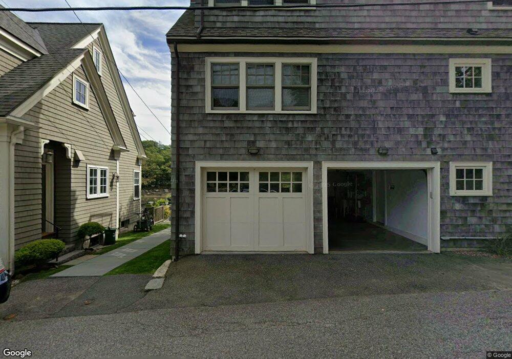
49R Leonard St Gloucester, MA 01930
Annisquam NeighborhoodEstimated Value: $947,000 - $1,480,607
2
Beds
1
Bath
1,139
Sq Ft
$1,082/Sq Ft
Est. Value
About This Home
This home is located at 49R Leonard St, Gloucester, MA 01930 and is currently estimated at $1,232,152, approximately $1,081 per square foot. 49R Leonard St is a home located in Essex County with nearby schools including Plum Cove School, Ralph B O'maley Middle School, and Gloucester High School.
Ownership History
Date
Name
Owned For
Owner Type
Purchase Details
Closed on
Mar 25, 2004
Sold by
Pasley Diana E
Bought by
Meyer Anne
Current Estimated Value
Purchase Details
Closed on
Dec 9, 1996
Sold by
Soshnick Julian and Soshnick Martha
Bought by
Pasley Diane E
Create a Home Valuation Report for This Property
The Home Valuation Report is an in-depth analysis detailing your home's value as well as a comparison with similar homes in the area
Home Values in the Area
Average Home Value in this Area
Purchase History
| Date | Buyer | Sale Price | Title Company |
|---|---|---|---|
| Meyer Anne | $701,500 | -- | |
| Pasley Diane E | $297,800 | -- |
Source: Public Records
Mortgage History
| Date | Status | Borrower | Loan Amount |
|---|---|---|---|
| Previous Owner | Pasley Diane E | $356,900 | |
| Previous Owner | Pasley Diane E | $147,000 | |
| Previous Owner | Pasley Diane E | $100,000 |
Source: Public Records
Tax History
| Year | Tax Paid | Tax Assessment Tax Assessment Total Assessment is a certain percentage of the fair market value that is determined by local assessors to be the total taxable value of land and additions on the property. | Land | Improvement |
|---|---|---|---|---|
| 2025 | $13,923 | $1,432,400 | $1,096,700 | $335,700 |
| 2024 | $11,310 | $1,162,400 | $826,700 | $335,700 |
| 2023 | $10,573 | $998,400 | $705,300 | $293,100 |
| 2022 | $10,206 | $870,100 | $613,400 | $256,700 |
| 2021 | $9,843 | $791,200 | $557,600 | $233,600 |
| 2020 | $9,659 | $783,400 | $557,600 | $225,800 |
| 2019 | $9,245 | $728,500 | $531,700 | $196,800 |
| 2018 | $8,975 | $694,100 | $518,700 | $175,400 |
| 2017 | $8,709 | $660,300 | $494,000 | $166,300 |
| 2016 | $8,376 | $615,400 | $472,600 | $142,800 |
| 2015 | $8,105 | $593,800 | $461,900 | $131,900 |
Source: Public Records
Map
Nearby Homes
- 136 Leonard St
- 672 Washington St
- 4 Ciaramitaro Ct
- 226 Atlantic St
- 2 Breezy Point Rd
- 178 Atlantic St
- 167 Atlantic St
- 3 Deacon Farm Ln
- 13 Honeysuckle Rd
- 9 Hickory St
- 1030 Washington St
- 31 Echo Ave
- 43 High St Unit B
- 10 Emerald St
- 13 Mystic Ave
- 8 Mystic Ave
- 3 Rockland St
- 6 Monroe Ct
- 98 Maplewood Ave
- 33 Quarry Ridge Ln Unit 33
Your Personal Tour Guide
Ask me questions while you tour the home.