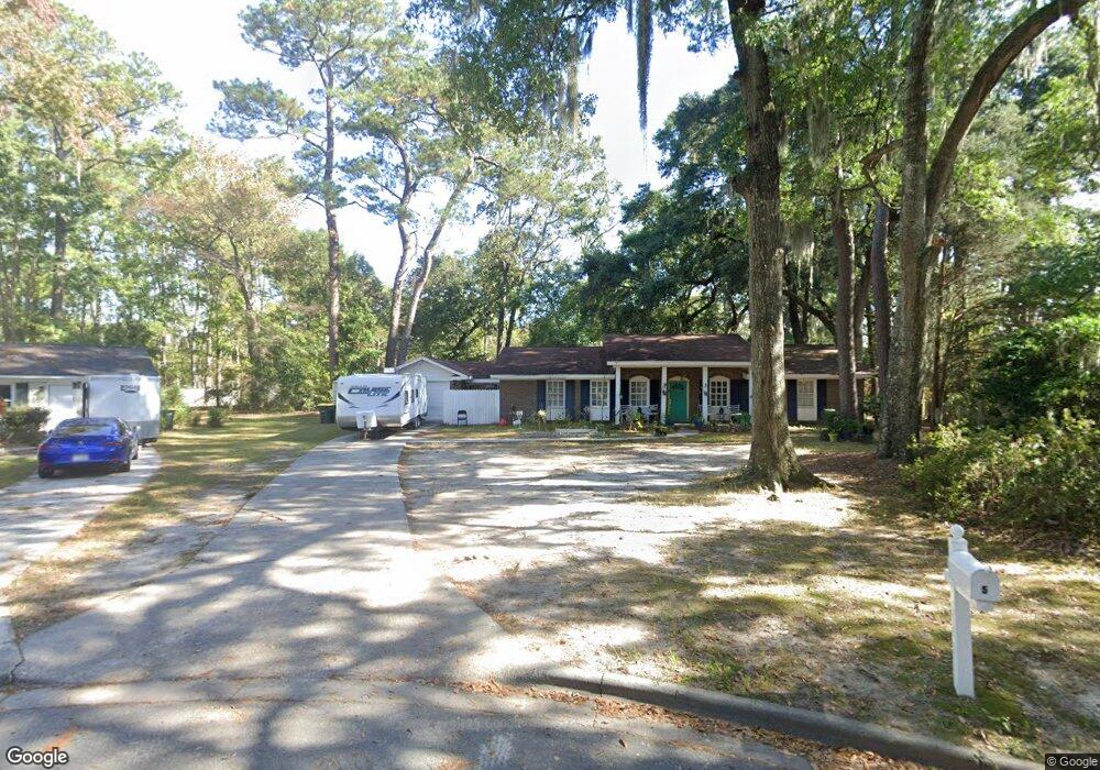
5 Acorn Ct Savannah, GA 31419
Windsor Forest NeighborhoodEstimated Value: $332,417 - $366,000
4
Beds
2
Baths
2,134
Sq Ft
$167/Sq Ft
Est. Value
About This Home
This home is located at 5 Acorn Ct, Savannah, GA 31419 and is currently estimated at $355,854, approximately $166 per square foot. 5 Acorn Ct is a home located in Chatham County with nearby schools including Windsor Forest Elementary School, Windsor Forest High School, and Southwest Middle School.
Ownership History
Date
Name
Owned For
Owner Type
Purchase Details
Closed on
Dec 26, 2020
Sold by
Derby Jeffrey S
Bought by
Deerwood Point Llc
Current Estimated Value
Purchase Details
Closed on
Aug 22, 2008
Sold by
Not Provided
Bought by
Derby Jeffrey S
Home Financials for this Owner
Home Financials are based on the most recent Mortgage that was taken out on this home.
Original Mortgage
$178,200
Interest Rate
6.61%
Mortgage Type
New Conventional
Create a Home Valuation Report for This Property
The Home Valuation Report is an in-depth analysis detailing your home's value as well as a comparison with similar homes in the area
Home Values in the Area
Average Home Value in this Area
Purchase History
| Date | Buyer | Sale Price | Title Company |
|---|---|---|---|
| Deerwood Point Llc | -- | -- | |
| Derby Jeffrey S | $198,000 | -- |
Source: Public Records
Mortgage History
| Date | Status | Borrower | Loan Amount |
|---|---|---|---|
| Previous Owner | Derby Jeffrey S | $178,200 |
Source: Public Records
Tax History Compared to Growth
Tax History
| Year | Tax Paid | Tax Assessment Tax Assessment Total Assessment is a certain percentage of the fair market value that is determined by local assessors to be the total taxable value of land and additions on the property. | Land | Improvement |
|---|---|---|---|---|
| 2025 | $2,234 | $87,680 | $26,000 | $61,680 |
| 2024 | $2,234 | $80,280 | $26,000 | $54,280 |
| 2023 | $1,016 | $83,240 | $22,000 | $61,240 |
| 2022 | $788 | $64,560 | $14,400 | $50,160 |
| 2021 | $2,396 | $55,240 | $9,600 | $45,640 |
| 2020 | $1,724 | $54,600 | $9,600 | $45,000 |
| 2019 | $2,426 | $54,600 | $9,600 | $45,000 |
| 2018 | $2,173 | $48,320 | $9,600 | $38,720 |
| 2017 | $2,061 | $49,640 | $9,600 | $40,040 |
| 2016 | $1,441 | $49,400 | $9,600 | $39,800 |
| 2015 | $2,125 | $50,960 | $9,600 | $41,360 |
| 2014 | $3,208 | $57,760 | $0 | $0 |
Source: Public Records
Map
Nearby Homes
- 708 Windsor Rd
- 12300 Apache Ave Unit 312
- 12300 Apache Ave Unit 1406
- 12300 Apache Ave Unit 1106
- 12300 Apache Ave Unit 1122
- 12300 Apache Ave Unit 213
- 12300 Apache Ave Unit 804
- 12300 Apache Ave Unit 913
- 12300 Apache Ave Unit 307
- 12300 Apache Ave Unit 605
- 12300 Apache Ave Unit 224
- 12300 Apache Ave Unit 1712
- 12300 Apache Ave Unit 704
- 12502 Apache Ave Unit 38
- 12502 Apache Ave Unit 18
- 5 Birchwood Cove
- 627 Northbrook Rd
- 121 Hopeland Dr
- 12608 Largo Dr
- 2 Lauren Ct
- 4 Acorn Ct
- 1806 Stillwood Dr
- 25 Burnt Tree Ct
- 1804 Stillwood Dr
- 24 Burnt Tree Ct
- 26 Burnt Tree Ct
- 3 Acorn Ct
- 1802 Stillwood Dr
- 2 Acorn Ct
- 24 Burnt Tree Rd
- 1808 Stillwood Dr
- 23 Burnt Tree Rd
- 19 Burnt Tree Ct
- 10 Mistletoe Ct
- 17 Burnt Tree Ct
- 1803 Stillwood Dr
- 1810 Stillwood Dr
- 12803 Sunnybrook Rd
- 1807 Stillwood Dr
- 12801 Sunnybrook Rd