5 Acorn Way Tuftonboro, NH 03816
Estimated Value: $987,000 - $1,592,000
2
Beds
2
Baths
2,150
Sq Ft
$553/Sq Ft
Est. Value
About This Home
This home is located at 5 Acorn Way, Tuftonboro, NH 03816 and is currently estimated at $1,189,122, approximately $553 per square foot. 5 Acorn Way is a home located in Carroll County with nearby schools including Tuftonboro Central School, Kingswood Regional Middle School, and Kingswood Regional High School.
Ownership History
Date
Name
Owned For
Owner Type
Purchase Details
Closed on
Mar 24, 2008
Sold by
Donald A Mcdonnell T
Bought by
Odonoghue Frances P and Salot Amy E
Current Estimated Value
Home Financials for this Owner
Home Financials are based on the most recent Mortgage that was taken out on this home.
Original Mortgage
$631,000
Outstanding Balance
$393,314
Interest Rate
5.75%
Mortgage Type
Purchase Money Mortgage
Estimated Equity
$795,808
Create a Home Valuation Report for This Property
The Home Valuation Report is an in-depth analysis detailing your home's value as well as a comparison with similar homes in the area
Home Values in the Area
Average Home Value in this Area
Purchase History
| Date | Buyer | Sale Price | Title Company |
|---|---|---|---|
| Odonoghue Frances P | $620,000 | -- |
Source: Public Records
Mortgage History
| Date | Status | Borrower | Loan Amount |
|---|---|---|---|
| Open | Odonoghue Frances P | $389,000 | |
| Closed | Odonoghue Frances P | $393,000 | |
| Closed | Odonoghue Frances P | $408,000 | |
| Open | Odonoghue Frances P | $631,000 |
Source: Public Records
Tax History Compared to Growth
Tax History
| Year | Tax Paid | Tax Assessment Tax Assessment Total Assessment is a certain percentage of the fair market value that is determined by local assessors to be the total taxable value of land and additions on the property. | Land | Improvement |
|---|---|---|---|---|
| 2024 | $6,162 | $808,700 | $371,500 | $437,200 |
| 2023 | $5,879 | $808,700 | $371,500 | $437,200 |
| 2022 | $5,208 | $808,700 | $371,500 | $437,200 |
| 2021 | $5,637 | $559,200 | $270,800 | $288,400 |
| 2020 | $5,065 | $529,800 | $270,800 | $259,000 |
| 2019 | $5,356 | $529,800 | $270,800 | $259,000 |
| 2018 | $4,139 | $378,000 | $211,200 | $166,800 |
| 2017 | $4,071 | $378,000 | $211,200 | $166,800 |
| 2016 | $3,943 | $378,000 | $211,200 | $166,800 |
| 2015 | $3,927 | $378,000 | $211,200 | $166,800 |
| 2014 | $3,615 | $361,900 | $211,200 | $150,700 |
| 2012 | $3,846 | $420,800 | $259,400 | $161,400 |
Source: Public Records
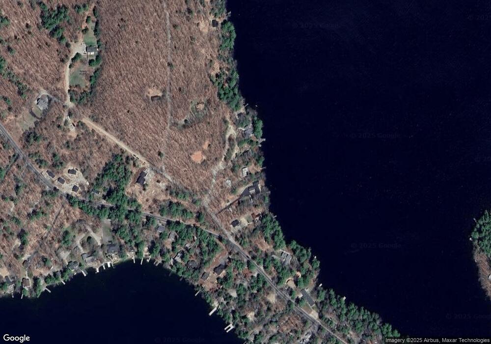
Map
Nearby Homes
- 2 Jordan Way
- 1 Museum Shores Rd
- 7 Loon St
- 5 Bennett Farm Rd
- 101 Tuftonboro Neck Rd
- 34 Harbor Way Unit 27
- 17 Waumbeck Rd
- 427 N Main St
- 185 Ambrose Way
- 88 Ambrose Way
- 165 Ambrose Way
- 3 Cedar Dr
- 290 Pine Hill Rd
- 0 Parker Island Rd Unit 10
- 17 Federal Corner Rd
- 00 Beach Pond Rd Unit 35
- 127 Forest Rd
- 222 N Main St
- Map 20 Lot 13 Beach Pond Rd
- 208 Forest Rd
- 7 Acorn Way
- 1 Acorn Way
- 3 Acorn Way
- 3 Oak Hill Rd
- 3 Oak Hill Rd Unit 1
- 39 Gov Wentworth Hwy
- 1 Oak Hill Rd
- 7 Oak Hill Rd
- 31 Governor Wentworth Hwy
- 36 Governor Wentworth Hwy
- 38 Governor Wentworth Hwy
- 44 Governor Wentworth Hwy
- 32 Governor Wentworth Hwy Unit 1
- 32 Governor Wentworth Hwy
- 32 Governor Wentworth Hwy Unit 6
- 00 Jordan Way
- 45 Governor Wentworth Hwy
- 62 Governor Wentworth Hwy
- 31 Governor Wentworth Hwy
- 46 Governor Wentworth Hwy