5 Bailey Shore Rd Hampstead, NH 03841
Estimated Value: $660,000 - $766,000
1
Bed
2
Baths
1,161
Sq Ft
$605/Sq Ft
Est. Value
About This Home
This home is located at 5 Bailey Shore Rd, Hampstead, NH 03841 and is currently estimated at $702,108, approximately $604 per square foot. 5 Bailey Shore Rd is a home located in Rockingham County with nearby schools including Hampstead Central School, Hampstead Middle School, and Pinkerton Academy.
Ownership History
Date
Name
Owned For
Owner Type
Purchase Details
Closed on
Nov 17, 2023
Sold by
Waterman Axelrod T and Waterman W
Bought by
Kobd Living Ret and Auger
Current Estimated Value
Purchase Details
Closed on
Aug 15, 2017
Sold by
Waterman Mark L and Axelrod Sandra A
Bought by
Wateraman Axelrod 2017 and Wateraman
Purchase Details
Closed on
Jan 22, 1998
Sold by
Kusiak Paul M and Kusiak Cheryl A
Bought by
Waterman Mark L
Home Financials for this Owner
Home Financials are based on the most recent Mortgage that was taken out on this home.
Original Mortgage
$165,300
Interest Rate
7.11%
Mortgage Type
Purchase Money Mortgage
Create a Home Valuation Report for This Property
The Home Valuation Report is an in-depth analysis detailing your home's value as well as a comparison with similar homes in the area
Home Values in the Area
Average Home Value in this Area
Purchase History
| Date | Buyer | Sale Price | Title Company |
|---|---|---|---|
| Kobd Living Ret | $594,333 | None Available | |
| Wateraman Axelrod 2017 | -- | -- | |
| Waterman Mark L | $206,800 | -- |
Source: Public Records
Mortgage History
| Date | Status | Borrower | Loan Amount |
|---|---|---|---|
| Previous Owner | Waterman Mark L | $165,300 |
Source: Public Records
Tax History Compared to Growth
Tax History
| Year | Tax Paid | Tax Assessment Tax Assessment Total Assessment is a certain percentage of the fair market value that is determined by local assessors to be the total taxable value of land and additions on the property. | Land | Improvement |
|---|---|---|---|---|
| 2024 | $10,894 | $587,600 | $357,700 | $229,900 |
| 2023 | $10,051 | $395,100 | $255,500 | $139,600 |
| 2022 | $9,356 | $395,100 | $255,500 | $139,600 |
| 2021 | $8,989 | $395,100 | $255,500 | $139,600 |
| 2020 | $8,514 | $395,100 | $255,500 | $139,600 |
| 2016 | $6,672 | $275,700 | $147,600 | $128,100 |
| 2015 | $6,184 | $275,700 | $147,600 | $128,100 |
| 2014 | $6,184 | $275,700 | $147,600 | $128,100 |
| 2006 | $6,010 | $331,700 | $170,000 | $161,700 |
Source: Public Records
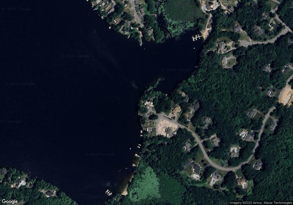
Map
Nearby Homes
- 3 Bailey Shore Rd
- 9 Bailey Shore Rd
- 11 Bailey Shore Rd
- 79 Bonnies Way
- 15 Bailey Shore Rd
- 17 Bailey Shore Rd
- 77 Bonnies Way
- 80 Bonnies Way
- 21 Bailey Shore Rd
- 75 Bonnies Way
- 42 Bonnie's Way
- 25 Duston Ridge Rd
- 70 Bonnies Way
- 25 Blue Heron Ave
- 71 Bonnies Way
- 23 Duston Ridge Rd
- 21 Duston Ridge Rd
- 60 Bonnies Way
- 21 Blue Heron Ave
- 19 Duston Ridge Rd