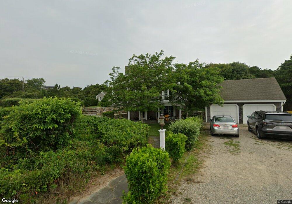
5 Bowline Ln Eastham, MA 02642
Estimated Value: $1,019,000 - $1,994,000
4
Beds
3
Baths
1,746
Sq Ft
$971/Sq Ft
Est. Value
About This Home
This home is located at 5 Bowline Ln, Eastham, MA 02642 and is currently estimated at $1,695,261, approximately $970 per square foot. 5 Bowline Ln is a home located in Barnstable County with nearby schools including Eastham Elementary School, Nauset Regional Middle School, and Nauset Regional High School.
Ownership History
Date
Name
Owned For
Owner Type
Purchase Details
Closed on
Oct 19, 2001
Sold by
Klier Dorothea A and Klier Paul J
Bought by
Troy John J and Troy Wendy G
Current Estimated Value
Home Financials for this Owner
Home Financials are based on the most recent Mortgage that was taken out on this home.
Original Mortgage
$595,000
Outstanding Balance
$233,415
Interest Rate
6.92%
Mortgage Type
Purchase Money Mortgage
Estimated Equity
$1,461,846
Create a Home Valuation Report for This Property
The Home Valuation Report is an in-depth analysis detailing your home's value as well as a comparison with similar homes in the area
Home Values in the Area
Average Home Value in this Area
Purchase History
| Date | Buyer | Sale Price | Title Company |
|---|---|---|---|
| Troy John J | $850,000 | -- |
Source: Public Records
Mortgage History
| Date | Status | Borrower | Loan Amount |
|---|---|---|---|
| Open | Troy John J | $595,000 |
Source: Public Records
Tax History Compared to Growth
Tax History
| Year | Tax Paid | Tax Assessment Tax Assessment Total Assessment is a certain percentage of the fair market value that is determined by local assessors to be the total taxable value of land and additions on the property. | Land | Improvement |
|---|---|---|---|---|
| 2025 | $14,249 | $1,848,100 | $1,073,800 | $774,300 |
| 2024 | $12,566 | $1,792,600 | $1,042,400 | $750,200 |
| 2023 | $11,796 | $1,629,300 | $965,300 | $664,000 |
| 2022 | $12,776 | $1,489,100 | $1,010,800 | $478,300 |
| 2021 | $3,025 | $1,354,900 | $918,700 | $436,200 |
| 2020 | $11,786 | $1,351,600 | $937,700 | $413,900 |
| 2019 | $4,156 | $1,312,700 | $910,400 | $402,300 |
| 2018 | $10,647 | $1,275,100 | $884,000 | $391,100 |
| 2017 | $2,384 | $1,254,800 | $866,600 | $388,200 |
| 2016 | $9,158 | $1,230,900 | $866,600 | $364,300 |
| 2015 | $8,548 | $1,203,900 | $849,600 | $354,300 |
Source: Public Records
Map
Nearby Homes
- 1295 Herring Brook Rd
- 45 Cranberry Cir
- 645 Samoset Rd
- 4 Wood Duck Ln
- 10 Cartway N
- 10 Field Rd
- 60 Briggs Field Rd
- 85 Huckleberry Ln
- 45 Starlight Ln
- 10 Alston Ct
- 255 Massasoit Rd
- 180 Country Ln
- 125 Bay Rd
- 20 Boat Meadow Way
- 20 Redberry Ln
- 1975 State Hwy Unit 3
- 1975 State Hwy Unit 5
- 10 Surrey Dr
- 100 Orchard Dr
- 1875 State Hwy
- 75 Bridge Pond Dr
- 15 Bowline Ln
- 15 Bay View Dr
- 5 Bay View Dr
- 65 Bridge Pond Dr
- 40 Cranberry Ln
- 25 Bowline Ln
- 145 Cole Rd
- 43 Cranberry Ln
- 55 Bridge Pond Dr
- 41 Cranberry Ln
- 25 Bay View Dr
- 70 Bridge Pond Dr
- 15 Patrician Ln
- 35 Patrician Ln
- 60 Bridge Pond Dr
- 39 Cranberry Ln
- 35 Bay View Dr
- 35 Bowline Ln
- 37 Patrician Ln