5 Brookhurst Ln W Meredith, NH 03253
Estimated Value: $582,000 - $837,056
3
Beds
1
Bath
1,490
Sq Ft
$489/Sq Ft
Est. Value
About This Home
This home is located at 5 Brookhurst Ln W, Meredith, NH 03253 and is currently estimated at $729,014, approximately $489 per square foot. 5 Brookhurst Ln W is a home located in Belknap County with nearby schools including Inter-Lakes Elementary School and Immaculate Conception Apostolic School.
Ownership History
Date
Name
Owned For
Owner Type
Purchase Details
Closed on
Jun 8, 2020
Sold by
Mcdonald Stephenie D
Bought by
Stephenie D Mcdonald Ret
Current Estimated Value
Purchase Details
Closed on
Nov 16, 2004
Sold by
Coleman James P and Coleman Anna
Bought by
Mcdonald Edward A and Mcdonald Stephanie D
Home Financials for this Owner
Home Financials are based on the most recent Mortgage that was taken out on this home.
Original Mortgage
$317,000
Interest Rate
5.75%
Mortgage Type
Purchase Money Mortgage
Create a Home Valuation Report for This Property
The Home Valuation Report is an in-depth analysis detailing your home's value as well as a comparison with similar homes in the area
Home Values in the Area
Average Home Value in this Area
Purchase History
| Date | Buyer | Sale Price | Title Company |
|---|---|---|---|
| Stephenie D Mcdonald Ret | -- | None Available | |
| Mcdonald Edward A | $417,000 | -- |
Source: Public Records
Mortgage History
| Date | Status | Borrower | Loan Amount |
|---|---|---|---|
| Previous Owner | Mcdonald Edward A | $220,000 | |
| Previous Owner | Mcdonald Edward A | $287,733 | |
| Previous Owner | Mcdonald Edward A | $317,000 |
Source: Public Records
Tax History Compared to Growth
Tax History
| Year | Tax Paid | Tax Assessment Tax Assessment Total Assessment is a certain percentage of the fair market value that is determined by local assessors to be the total taxable value of land and additions on the property. | Land | Improvement |
|---|---|---|---|---|
| 2024 | $8,050 | $784,600 | $540,000 | $244,600 |
| 2023 | $7,760 | $784,600 | $540,000 | $244,600 |
| 2022 | $6,119 | $438,000 | $251,700 | $186,300 |
| 2021 | $5,882 | $438,000 | $251,700 | $186,300 |
| 2020 | $6,141 | $438,000 | $251,700 | $186,300 |
| 2019 | $5,938 | $373,700 | $203,400 | $170,300 |
| 2018 | $5,837 | $373,700 | $203,400 | $170,300 |
| 2016 | $5,357 | $343,600 | $187,900 | $155,700 |
| 2015 | $5,166 | $339,900 | $187,900 | $152,000 |
| 2014 | $5,041 | $339,900 | $187,900 | $152,000 |
| 2013 | $4,898 | $339,900 | $187,900 | $152,000 |
Source: Public Records
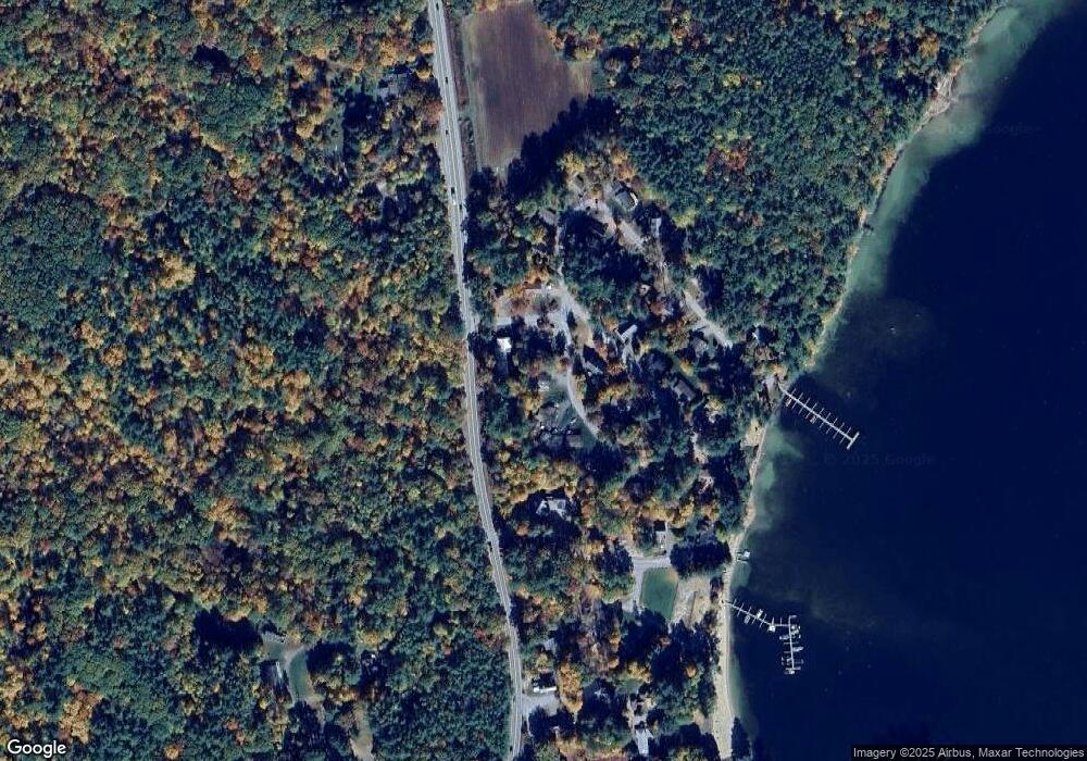
Map
Nearby Homes
- 24 Dew Point Ln
- 320 Redding Ln
- 00 Gilman Hill Rd Unit 1
- 1 Little Beaver Island
- 52 Chase Cir
- 38 Lake Shore Dr Unit 12
- 38 Lake Shore Dr Unit 10
- 00 Whittier Hwy Unit 8
- 22 Tiger Trail
- 30 Leopards Leap
- 142 Nh Route 25
- 20 True Rd Unit 85
- 20 True Rd Unit 101
- 20 True Rd Unit 63
- 203 Krainewood Dr
- 85 Blueberry Hill Rd
- 111 Nh Route 25
- 8 Kelly Ln
- 32 Boynton Rd
- 99 Pleasant St
- Lot 22 Brookhurst Ln W
- 24 Patrician Shores Cir
- 7 Brookhurst Ln W
- 3 Brookhurst Ln W
- 1 Brookhurst Ln E
- 357 Nh Route 25
- 3 Beach Club Ln
- 9 Brookhurst Ln W
- 5 Beach Club Ln
- 4 Brookhurst Ln E
- 11 Brookhurst Ln W
- 4 Beach Club Ln
- 4 Anderson Rd
- 2 Brookhurst Ln E
- 6 Beach Club Ln
- 7 Beach Club Ln
- 15 Brookhurst Ln E
- 17 Brookhurst Ln E
- 15 Brookhurst Ln W
- 15 Brookhurst West + Dock