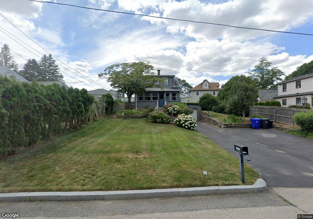
5 Carolina Ave Riverside, RI 02915
Boyden Heights NeighborhoodEstimated Value: $458,924 - $548,000
2
Beds
2
Baths
1,684
Sq Ft
$296/Sq Ft
Est. Value
About This Home
This home is located at 5 Carolina Ave, Riverside, RI 02915 and is currently estimated at $497,981, approximately $295 per square foot. 5 Carolina Ave is a home located in Providence County with nearby schools including East Providence High School, St Mary Academy-Bay View, and The Gordon School.
Ownership History
Date
Name
Owned For
Owner Type
Purchase Details
Closed on
Jul 24, 2025
Sold by
Stoddard Maria L
Bought by
Stoddard Leah R and Stoddard Maria L
Current Estimated Value
Purchase Details
Closed on
Jul 8, 2025
Sold by
Stoddard Maria L
Bought by
Stoddard Leah R and Stoddard Maria L
Purchase Details
Closed on
Aug 1, 1991
Sold by
Studley Michael J
Bought by
Stoddard Kevin W
Purchase Details
Closed on
Feb 11, 1991
Sold by
Skelly Deborah L
Bought by
Studley Michael J
Create a Home Valuation Report for This Property
The Home Valuation Report is an in-depth analysis detailing your home's value as well as a comparison with similar homes in the area
Home Values in the Area
Average Home Value in this Area
Purchase History
| Date | Buyer | Sale Price | Title Company |
|---|---|---|---|
| Stoddard Leah R | -- | -- | |
| Stoddard Leah R | -- | -- | |
| Stoddard Leah R | -- | -- | |
| Stoddard Kevin W | $123,000 | -- | |
| Stoddard Kevin W | $123,000 | -- | |
| Studley Michael J | $46,000 | -- | |
| Studley Michael J | $46,000 | -- |
Source: Public Records
Mortgage History
| Date | Status | Borrower | Loan Amount |
|---|---|---|---|
| Previous Owner | Studley Michael J | $138,300 | |
| Previous Owner | Studley Michael J | $25,000 |
Source: Public Records
Tax History Compared to Growth
Tax History
| Year | Tax Paid | Tax Assessment Tax Assessment Total Assessment is a certain percentage of the fair market value that is determined by local assessors to be the total taxable value of land and additions on the property. | Land | Improvement |
|---|---|---|---|---|
| 2025 | $5,582 | $427,100 | $142,600 | $284,500 |
| 2024 | $5,355 | $349,300 | $118,900 | $230,400 |
| 2023 | $5,156 | $349,300 | $118,900 | $230,400 |
| 2022 | $4,925 | $225,300 | $67,500 | $157,800 |
| 2021 | $4,844 | $225,300 | $67,400 | $157,900 |
| 2020 | $4,639 | $225,300 | $67,400 | $157,900 |
| 2019 | $4,511 | $225,300 | $67,400 | $157,900 |
| 2018 | $4,132 | $180,600 | $55,000 | $125,600 |
| 2017 | $4,040 | $180,600 | $55,000 | $125,600 |
| 2016 | $4,020 | $180,600 | $55,000 | $125,600 |
| 2015 | $3,918 | $170,700 | $50,900 | $119,800 |
| 2014 | $3,918 | $170,700 | $50,900 | $119,800 |
Source: Public Records
Map
Nearby Homes
- 14 Waterview Ave Unit 16
- 59 Merritt Rd
- 50 Kettle Point Ave Unit 50
- 10 Fairfield Ave
- 3421 Pawtucket Ave
- 6 Fuller Ave
- 36 Gerald St
- 108 Ivan Ave
- 53 Wampanoag Trail
- 740 Veterans Memorial Pkwy
- 31 Bullocks Point Ave Unit 2A
- 25 Bullocks Point Ave Unit 5C
- 43 Bullocks Point Ave Unit 4C
- 87 Vincent Ave
- 1 Fales St
- 1463 S Broadway
- 180 Grassmere Ave
- 151 Willett Ave Unit 2
- 151 Willett Ave Unit 5
- 74 Brookhaven Dr