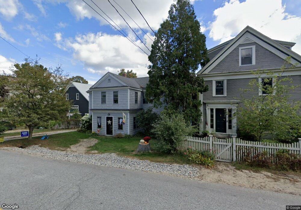
5 Cobbs Bridge Rd New Gloucester, ME 04260
Estimated Value: $369,887 - $566,000
3
Beds
2
Baths
2,408
Sq Ft
$188/Sq Ft
Est. Value
About This Home
This home is located at 5 Cobbs Bridge Rd, New Gloucester, ME 04260 and is currently estimated at $453,472, approximately $188 per square foot. 5 Cobbs Bridge Rd is a home located in Cumberland County with nearby schools including Gray-New Gloucester High School.
Ownership History
Date
Name
Owned For
Owner Type
Purchase Details
Closed on
Jan 13, 2023
Sold by
Summer Catriona and Summer John B
Bought by
Bass Rosalie K and Bass Michelle N
Current Estimated Value
Home Financials for this Owner
Home Financials are based on the most recent Mortgage that was taken out on this home.
Original Mortgage
$268,802
Outstanding Balance
$259,741
Interest Rate
6.49%
Mortgage Type
Purchase Money Mortgage
Estimated Equity
$193,731
Create a Home Valuation Report for This Property
The Home Valuation Report is an in-depth analysis detailing your home's value as well as a comparison with similar homes in the area
Home Values in the Area
Average Home Value in this Area
Purchase History
| Date | Buyer | Sale Price | Title Company |
|---|---|---|---|
| Bass Rosalie K | $282,950 | None Available |
Source: Public Records
Mortgage History
| Date | Status | Borrower | Loan Amount |
|---|---|---|---|
| Open | Bass Rosalie K | $268,802 |
Source: Public Records
Tax History Compared to Growth
Tax History
| Year | Tax Paid | Tax Assessment Tax Assessment Total Assessment is a certain percentage of the fair market value that is determined by local assessors to be the total taxable value of land and additions on the property. | Land | Improvement |
|---|---|---|---|---|
| 2025 | $3,116 | $201,425 | $67,948 | $133,477 |
| 2024 | $3,375 | $226,677 | $67,948 | $158,729 |
| 2023 | $3,239 | $226,677 | $67,948 | $158,729 |
| 2022 | $3,128 | $226,677 | $67,948 | $158,729 |
| 2021 | $3,128 | $226,677 | $67,948 | $158,729 |
| 2020 | $2,242 | $226,677 | $67,948 | $158,729 |
| 2019 | $2,710 | $192,800 | $51,900 | $140,900 |
| 2018 | $3,046 | $192,800 | $51,900 | $140,900 |
| 2017 | $3,008 | $192,800 | $51,900 | $140,900 |
| 2016 | $2,834 | $192,800 | $51,900 | $140,900 |
| 2015 | $2,825 | $192,800 | $51,900 | $140,900 |
| 2014 | $2,796 | $192,800 | $51,900 | $140,900 |
| 2013 | $2,593 | $192,800 | $51,900 | $140,900 |
Source: Public Records
Map
Nearby Homes
- 10 Cobbs Bridge Rd
- 160 Gloucester Hill Rd
- 155 & 151 Gloucester Hill Rd
- 0018-C Gloucester Hill Rd
- 164 Intervale Rd
- 200 Woodman Rd
- 22 Shaw Rd
- 271 Bennett Rd
- 29 Rockwood Dr
- 12 Country Charm Ln
- TBD Targett Rd
- 24 Swamp Rd
- 10-56 C&E Bowdoin Way
- 65 Blueberry Ln
- 14 Golden Way
- 423 Sabbathday Rd
- 0 Mayall
- 161 Beaver Dam Dr
- 343 Shaker Rd
- 284 Allen Rd
- 5 Cobb's Bridge Rd
- 400 Intervale Rd
- 9 Cobbs Bridge Rd
- 0 Cobb's Bridge
- 0 Cobbs Bridge
- 0 Gloucester Hill
- 405 Intervale Rd
- 388 Intervale Rd
- 410 Intervale Rd
- 14 Cobbs Bridge Rd
- 4 Gloucester Hill Rd
- 391 Intervale Rd
- 17 Cobbs Bridge Rd
- 384 Intervale Rd
- 8 Gloucester Hill Rd
- 5 Gloucester Hill Rd
- 16 Cobbs Bridge Rd
- 417 Intervale Rd
- 0 Taylors Trail Unit 1568467
- 0 Taylors Trail Unit 1326647