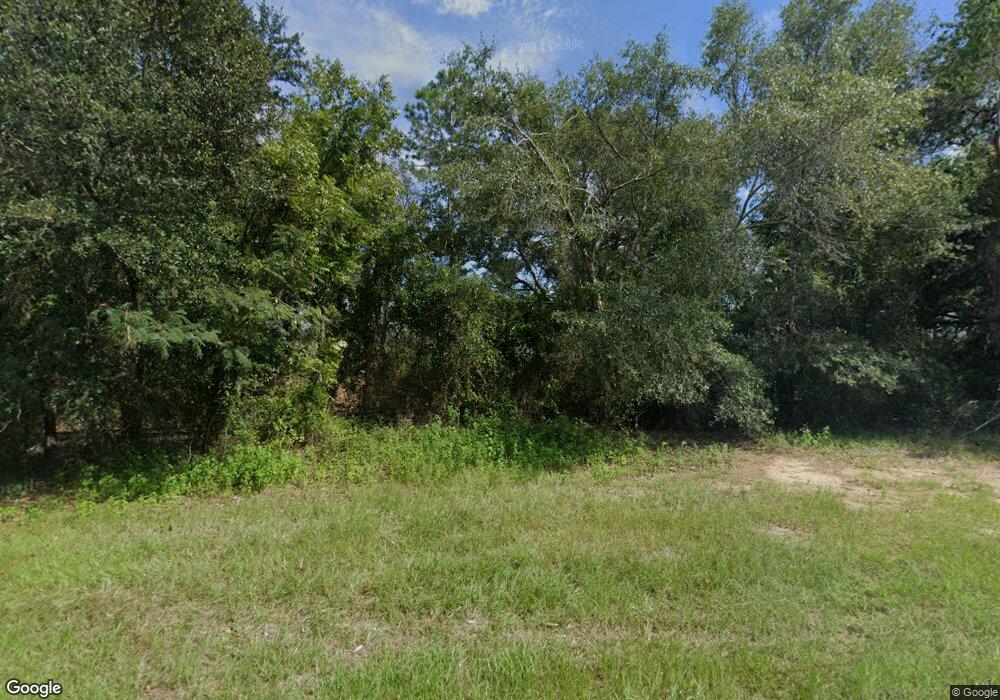
5 Empress Rd Quitman, GA 31643
Estimated Value: $86,000 - $5,884,000
--
Bed
--
Bath
1,644
Sq Ft
$1,258/Sq Ft
Est. Value
About This Home
This home is located at 5 Empress Rd, Quitman, GA 31643 and is currently estimated at $2,067,667, approximately $1,257 per square foot. 5 Empress Rd is a home with nearby schools including Quitman Elementary School.
Ownership History
Date
Name
Owned For
Owner Type
Purchase Details
Closed on
Dec 31, 2024
Sold by
Sims Enterprises Ltd
Bought by
Mays Island Land Holdings Llc
Current Estimated Value
Purchase Details
Closed on
Oct 11, 2007
Sold by
Mcgriff Farm Inc
Bought by
Sims Enterprises Ltd
Purchase Details
Closed on
Jul 17, 2007
Sold by
Petway Farms Inc
Bought by
Mcgriff Farm Inc
Purchase Details
Closed on
Sep 19, 1994
Sold by
Mcgriff Farm Inc
Bought by
Mcgriff Farm Inc & Petway Farms Inc
Purchase Details
Closed on
Dec 28, 1987
Sold by
Edmondson James M
Bought by
Mcgriff Farm Inc
Purchase Details
Closed on
Jan 20, 1983
Sold by
Blair W O
Bought by
Edmondson James M
Create a Home Valuation Report for This Property
The Home Valuation Report is an in-depth analysis detailing your home's value as well as a comparison with similar homes in the area
Home Values in the Area
Average Home Value in this Area
Purchase History
| Date | Buyer | Sale Price | Title Company |
|---|---|---|---|
| Mays Island Land Holdings Llc | $4,978,799 | -- | |
| Sims Enterprises Ltd | $4,012,200 | -- | |
| Mcgriff Farm Inc | -- | -- | |
| Mcgriff Farm Inc & Petway Farms Inc | -- | -- | |
| Mcgriff Farm Inc | $221,000 | -- | |
| Edmondson James M | $278,500 | -- |
Source: Public Records
Tax History Compared to Growth
Tax History
| Year | Tax Paid | Tax Assessment Tax Assessment Total Assessment is a certain percentage of the fair market value that is determined by local assessors to be the total taxable value of land and additions on the property. | Land | Improvement |
|---|---|---|---|---|
| 2025 | $7,461 | $1,189,532 | $1,159,240 | $30,292 |
| 2024 | $7,461 | $1,189,532 | $1,159,240 | $30,292 |
| 2023 | $7,078 | $1,063,024 | $1,035,600 | $27,424 |
| 2022 | $8,002 | $1,014,216 | $986,320 | $27,896 |
| 2021 | $15,035 | $520,880 | $520,280 | $600 |
| 2020 | $14,613 | $526,160 | $525,560 | $600 |
| 2019 | $14,452 | $502,240 | $501,640 | $600 |
| 2018 | $12,918 | $442,320 | $441,720 | $600 |
| 2017 | $13,083 | $442,320 | $441,720 | $600 |
| 2016 | $739 | $442,320 | $441,720 | $600 |
| 2015 | -- | $442,320 | $441,720 | $600 |
| 2014 | -- | $442,320 | $441,720 | $600 |
| 2013 | -- | $0 | $0 | $0 |
Source: Public Records
Map
Nearby Homes
- 916 NW Brooks County Line Rd
- 1706 NW Radford Denson Rd
- 639 Saint Phillips Church Rd
- 1259 NW Hawk's Ave Ave
- 5036 Hamlin Rd
- TBD NW Hawks Ave
- NW Hawks Ave
- NW Co Rd 253
- 0 NW Co Road 253 Unit Lot 1 386791
- 0 NW Co Road 253 Unit 386513
- 7747 Empress Rd
- 8820 Grooverville Rd
- 1540 Dunn Rd
- 3978 Quitman Hwy S
- Vacant NW Little Cat Rd
- 4126 Grooverville Rd
- 0 James Noble Rd
- 000 NW Cr 253 Unit Lot 2
- 804 Westlake Dr
- 396 NW Gadwall Way
