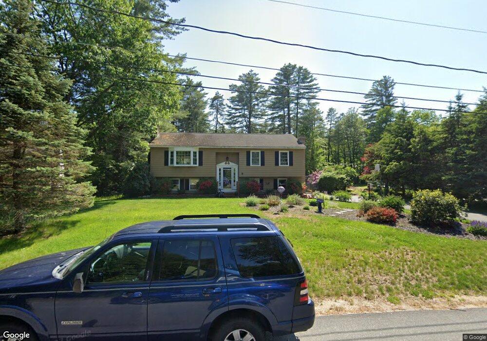
5 Hickory Ln Rochester, NH 03867
Estimated Value: $436,000 - $482,000
3
Beds
2
Baths
1,288
Sq Ft
$357/Sq Ft
Est. Value
About This Home
This home is located at 5 Hickory Ln, Rochester, NH 03867 and is currently estimated at $460,238, approximately $357 per square foot. 5 Hickory Ln is a home located in Strafford County with nearby schools including William Allen School, Rochester Middle School, and Spaulding High School.
Ownership History
Date
Name
Owned For
Owner Type
Purchase Details
Closed on
Feb 7, 2006
Sold by
Large Roberta M
Bought by
Laine Peter S and Laine Ruthanne
Current Estimated Value
Home Financials for this Owner
Home Financials are based on the most recent Mortgage that was taken out on this home.
Original Mortgage
$100,000
Interest Rate
6.31%
Mortgage Type
Purchase Money Mortgage
Create a Home Valuation Report for This Property
The Home Valuation Report is an in-depth analysis detailing your home's value as well as a comparison with similar homes in the area
Home Values in the Area
Average Home Value in this Area
Purchase History
| Date | Buyer | Sale Price | Title Company |
|---|---|---|---|
| Laine Peter S | $275,000 | -- |
Source: Public Records
Mortgage History
| Date | Status | Borrower | Loan Amount |
|---|---|---|---|
| Open | Laine Peter S | $58,800 | |
| Open | Laine Peter S | $106,040 | |
| Closed | Laine Peter S | $112,000 | |
| Closed | Laine Peter S | $100,000 |
Source: Public Records
Tax History Compared to Growth
Tax History
| Year | Tax Paid | Tax Assessment Tax Assessment Total Assessment is a certain percentage of the fair market value that is determined by local assessors to be the total taxable value of land and additions on the property. | Land | Improvement |
|---|---|---|---|---|
| 2024 | $6,543 | $440,600 | $124,500 | $316,100 |
| 2023 | $6,595 | $256,200 | $62,400 | $193,800 |
| 2022 | $6,477 | $256,200 | $62,400 | $193,800 |
| 2021 | $6,315 | $256,200 | $62,400 | $193,800 |
| 2020 | $6,305 | $256,200 | $62,400 | $193,800 |
| 2019 | $6,379 | $256,200 | $62,400 | $193,800 |
| 2018 | $6,034 | $219,900 | $41,600 | $178,300 |
| 2017 | $5,790 | $219,900 | $41,600 | $178,300 |
| 2016 | $5,302 | $187,600 | $41,600 | $146,000 |
| 2015 | $5,281 | $187,600 | $41,600 | $146,000 |
| 2014 | $5,153 | $187,600 | $41,600 | $146,000 |
| 2013 | $5,433 | $206,100 | $55,500 | $150,600 |
| 2012 | $5,293 | $206,100 | $55,500 | $150,600 |
Source: Public Records
Map
Nearby Homes
- 161 Lowell St
- 9 Weeping Willow Dr
- 58 Pickering Rd
- 3 Henrietta St
- 283 Chesley Hill Rd
- 8 Tebbetts Rd
- 164 Brock St
- 24 Birdie Grove Unit F
- 24 Birdie Grove Unit D
- 24 Birdie Grove Unit B
- 24 Birdie Grove Unit E
- 24 Birdie Grove Unit C
- 144 Rochester Hill Rd
- 3 Dodge St
- 18 Birdie Grove Unit E
- 18 Birdie Grove Unit A
- 18 Birdie Grove Unit B
- 13 Birdie Grove Unit C
- 13 Birdie Grove Unit D
- 142 Brock St