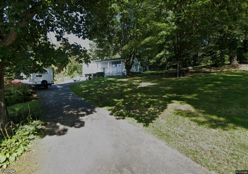
5 Kennedy Rd West Brookfield, MA 01585
Estimated Value: $384,259 - $439,000
3
Beds
2
Baths
1,200
Sq Ft
$337/Sq Ft
Est. Value
About This Home
This home is located at 5 Kennedy Rd, West Brookfield, MA 01585 and is currently estimated at $404,565, approximately $337 per square foot. 5 Kennedy Rd is a home located in Worcester County with nearby schools including Quaboag Regional High School.
Ownership History
Date
Name
Owned For
Owner Type
Purchase Details
Closed on
Aug 23, 1996
Sold by
Jackson William and Jackson Barbara
Bought by
Marriott Clifford and Provost Jeanne
Current Estimated Value
Home Financials for this Owner
Home Financials are based on the most recent Mortgage that was taken out on this home.
Original Mortgage
$50,400
Interest Rate
8.4%
Mortgage Type
Purchase Money Mortgage
Create a Home Valuation Report for This Property
The Home Valuation Report is an in-depth analysis detailing your home's value as well as a comparison with similar homes in the area
Home Values in the Area
Average Home Value in this Area
Purchase History
| Date | Buyer | Sale Price | Title Company |
|---|---|---|---|
| Marriott Clifford | $126,000 | -- |
Source: Public Records
Mortgage History
| Date | Status | Borrower | Loan Amount |
|---|---|---|---|
| Open | Marriott Clifford | $40,100 | |
| Closed | Marriott Clifford | $10,000 | |
| Closed | Marriott Clifford | $50,000 | |
| Closed | Marriott Clifford | $50,400 |
Source: Public Records
Tax History Compared to Growth
Tax History
| Year | Tax Paid | Tax Assessment Tax Assessment Total Assessment is a certain percentage of the fair market value that is determined by local assessors to be the total taxable value of land and additions on the property. | Land | Improvement |
|---|---|---|---|---|
| 2025 | $2,878 | $267,000 | $55,700 | $211,300 |
| 2024 | $2,998 | $267,000 | $55,700 | $211,300 |
| 2023 | $2,929 | $244,300 | $50,500 | $193,800 |
| 2022 | $3,024 | $228,600 | $47,900 | $180,700 |
| 2021 | $2,979 | $212,300 | $47,900 | $164,400 |
| 2020 | $2,630 | $178,900 | $47,900 | $131,000 |
| 2019 | $2,803 | $178,900 | $47,900 | $131,000 |
| 2018 | $2,795 | $173,900 | $47,900 | $126,000 |
| 2017 | $3,035 | $189,000 | $48,200 | $140,800 |
| 2016 | $2,814 | $181,400 | $48,200 | $133,200 |
| 2015 | $2,717 | $181,400 | $48,200 | $133,200 |
Source: Public Records
Map
Nearby Homes
- 233 Ragged Hill Rd
- 221 Pierce Rd
- 201 Pierce Rd
- 0 Gilbertville Rd Unit 73387398
- 441 Main St
- 68 Stagecoach Rd
- 0 Taylor St
- 0 Main St
- 347-349 Main St
- 0 Highland Terrace
- 260 Wickaboag Valley Rd
- 105 Church St
- 201 Upper Church St
- 2 Spring St
- 11 Shea Rd
- 9 Walnut St
- 0 Barr Rd
- 179 Pierce Rd
- 152 North St
- 16-22 East St
- 19 Kennedy Rd
- 24 Kennedy Rd
- LOT A Ragged Hill Rd
- 233 Ragged Hill Rd Unit 1
- 25 Kennedy Rd
- 30 Kennedy Rd
- 29 Kennedy Rd
- 34 Kennedy Rd
- 35 Kennedy Rd
- 27 Lyon Rd
- 38 Kennedy Rd
- 32 Lyon Rd
- 215 Ragged Hill Rd
- 29 Lyon Rd
- 43 Kennedy Rd
- 44 Kennedy Rd
- 213 Ragged Hill Rd
- 216 Ragged Hill Rd
- 211 Ragged Hill Rd
- 49 Lyon Rd